Written by Justin Zzyzx – Author of “Rockhound Barstow”
This location and many others are featured in the field guide – Click here to buy a copy for yourself
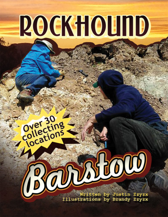
Click the Cover and Order your copy today!
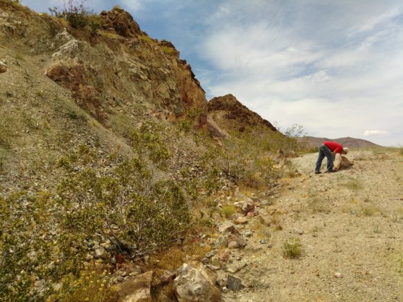
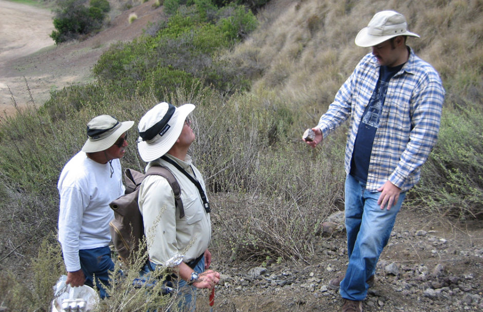
Justin Zzyzx inspecting boulders at the Noble Prospect.
I just love exploring the nooks and crannies of the hills and mountains around Barstow California. The area around here is known for the beautiful geological formations all around, such as Rainbow Ridge, as well as the silver mines of Calico, once a silver boom town, now a commercial tourist attraction. Barstow, a perfect place to set up base and explore the Cady Mountains, Afton Canyon, Opal Mountain, Mule Canyon, Alvord Mountain, Yermo’s rolling hills of alluvial agates and jaspers and so much more. There is a veritable treasure chest of mineral adventures to be had in these colorful hills, visiting is a thrill, and I, as a resident, love to take full advantages of these rock deposits.
As a frequent leader of field trips and author of the “Rockhound Barstow” field guide, I’m always looking for new places to take people to collect interesting minerals and lapidary materials. My personal favorite is finding places where there are both nice crystallized minerals, as well as colorful lapidary material, that way, out of the dozens of rockhounds who have joined me over the past year on each monthly field trip, everybody is happy with what they can find. Exploring mining information on MRDS.org, I noticed several mines located in the Northern parts of the Calico mountains. I could see, just 10 miles away from my pistachio grove I call home in Newberry Springs, there was a Wollastonite mine, a Nickel mine and an Arsenic mine, all bunched up to the West of Coyote Dry Lake.
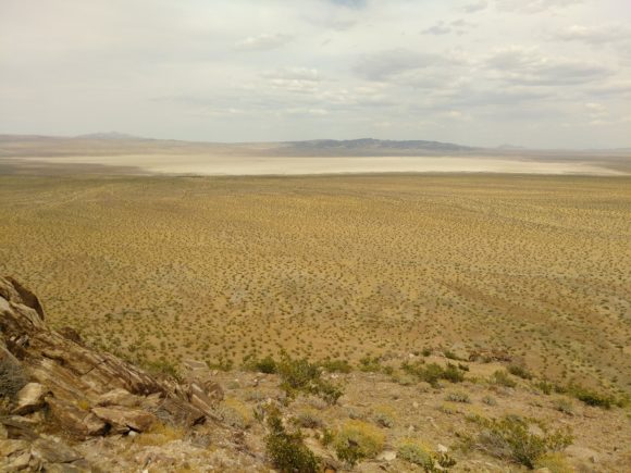
View looking out to Coyote Dry Lake from the un-named Nickel deposit
On our first outing to this string of locations we tried to access it from the East, coming up Coyote Dry Lake road. The dry lake was not as dry as we expected, in fact, it was quite moist and with no desire to go “muddin”, we turned back and tried the other way into the area, all the way around the Fort Irwin road passage, 20 miles to the West. Fort Irwin road is a VERY busy two-three lane road that connects Fort Irwin to Barstow and highway 15. Fort Irwin, a large Marine base, requires a large amount of workers from the Barstow area to work the service industry jobs, as well as the tech jobs, along with all the contractors, you can imagine this is a very busy road. We drove through the pass on the West side, looking at all the remains from the silver mines that made the Calico district what it was and what it is today. The ore was mostly chloragyrite, a silver mineral that is toxic to process, proving to be costly and environmentally unsound, so, the silver mines stand dormant, forever.
Entering on Madrugador road, Eastbound from Fort Irwin road, you pass by a Wollastonite deposit to the North, which we inspected with little of interest to be found, then, continuing along on this fairly smooth, slightly rocky road we turned off to the Northeast on a power line road which then takes us directly to the Wolly Wollastonite #5 deposit, a long abandoned deposit of this interesting white mineral. Some field guides have published this location, however, they always refer to it as an Onyx deposit. Onyx, a name for Calcite, is found at lots of places around the Calico mountains, however, at this deposit, there is only the non-stop white bliss of massive Wollastonite.
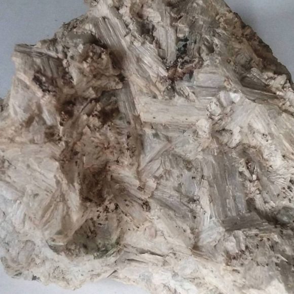
Long fiber Wollastonite crystals on the surface of massive Wollastonite
Wollastonite is a mineral that can be found as part of a Skarn deposit. Common related minerals are Grossular Garnet, Calcite, Quartz, Hedenburgite, and Epidote. The grains of the skarn deposits can be quite dense, leading to amazingly hard stones that can be worked into lapidary objects like vases and pillars. The wollastonite here was most likely mined for use in the pottery industry. Wollastonite, CaSiO3, a Calcium Silica Oxygen mineral that often has impurities of iron, manganese and magnesium, all elements found in abundance across this mountain range. Crushed, this powdered rock would be used for adding to clay, reducing cracking when ceramics are fired in a kiln, as well as added to paint base, a filler to make paint thicker.
At the Wolly Wollastonite deposit we would find tons of massive white wollastonite with the choice mineral specimens being the small bits and thin plates of acicular “long fiber” wollastonite crystals, which form flat on the surface of the rocks and boulders. Along with these, a bit of orange Grossular garnet can be found forming in the sharp borders between the wollastonite and the county rock. Finding larger pieces of this material is uncommon, but possible, however bits of wollastonite with thin areas of garnet are fairly common along the waste rock piles. In the quarried areas, along the rock wall, you can see several veins of garnet, but, in my opinion, they are not terribly thrilling. One thing is for sure, the guides that have continuously pegged this as an Onyx deposit can now be corrected in the next printing! The deposit takes up the Northern side of this far outlying mountain, spilling out of the most Northern part of the Calico mountains. Various bits and smears of other minerals have been spotted, like epidote and hedenburgite, so with further exploration you might uncover something interesting.
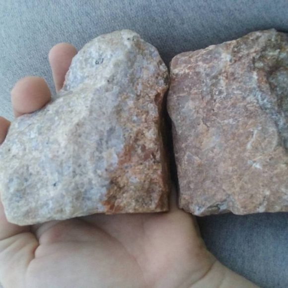
Spessartine garnet masses found in conjunction with the wollastonite deposits of the North Calico Mountains
A few months before I decided to visit this Wollastonite deposit, I was told by a gold miner in the Hesperia area that there was a Wollastonite deposit up in the North Calico mountains that had terminated grossular garnets. Wollastonite forms as a part of skarn deposits. One of the best mineral deposits in these formations are calcite pods with glossy grossular garnets underneath. Locations around the world produce specimens like this, the calcite acts as a blanket for the garnets, protecting them from any harm, until we, rockhounds, remove them from the ground and soak them in acid to dissolve the calcite and reveal the beautiful garnets underneath. While massive garnet is found at the Wolly Wollastonite deposit, the lack of calcite pods at this and every other Wollastonite deposit I’ve visited has turned up fruitless. Yet, chasing this lead has brought me to explore some infrequently visited areas of the rocky desert hillsides.
Going back in reverse from the Wollastonite deposit, you can head South in the first turn, which is a wash that leads up to the solid hillside and upwards on a road that leads to a former Nickel deposit, resting on this craggy spire, a semi steep climb leads to a non-connecting circular road around the peak. From here you have spectacular views of the valley below, the vast white/tan of Coyote Dry Lake, the Coptic monistary, and hey, I can even see my house from up here! Looking at this location from the comfort of my home, with my imported mine marker data from MRDS, I could see this Nickel mine and also find out more information about it. It referenced a mention in a a Southern Pacific Railroad booklet on Mineral of Industry, Volume 3, which mentions the deposit geology as “niccolite, arsenopyrite, annabergite, and uvarovite in a verticle silicic dike that strikes NE along a shear zone in hornfels and quartzite.”
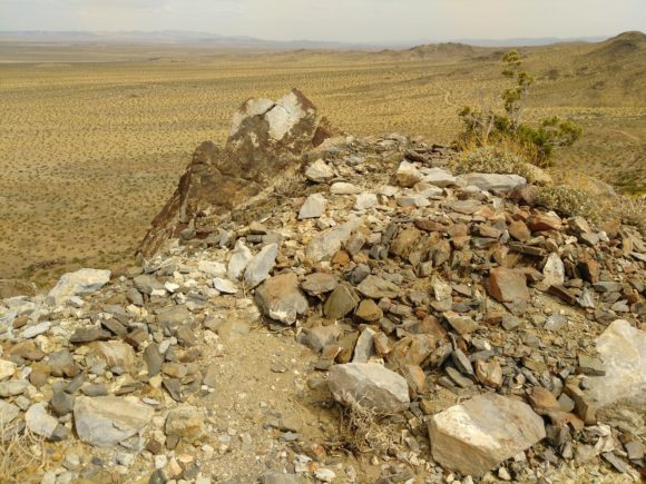
View from on top of un-named Nickel deposit
Off we went, to go visit the un-named nickel deposit. The wind on our first visit makes the location very memorable. We can have wind gusts over 65 miles an hour on some days around these parts and that day the wind was so forceful we were quite worried we would be swept off the mountain. Maintaining a tight foothold, we explored the area, looking for bright green crystals of annabergite and chrome green uvarovite garnets. Instead, we found the meaning of “silicic dike”! All of the minerals we have found at this location have been frozen in blocks of silica. While this does not do anything for us mineral collectors, it makes for a unique lapidary material. The same stuff as the classic German “Nickel Quartz”, this green stone takes a nice polish and the contrast of white and green makes for an interesting stone. Floating around in this silica, tiny bits of chrome green uvarovite garnet are found, while nothing to write home about, they do add a little something to some of the slabs and tumbled stones we produced out of this ore. If there were crystals here, this could be one of my favorite locations, but even in massive lapidary form, this in a rare treat in terms of mineralogy, a geat view-point in this area of the North Calico mountains and yet, just one of many locations in a short distance in this mountain range.
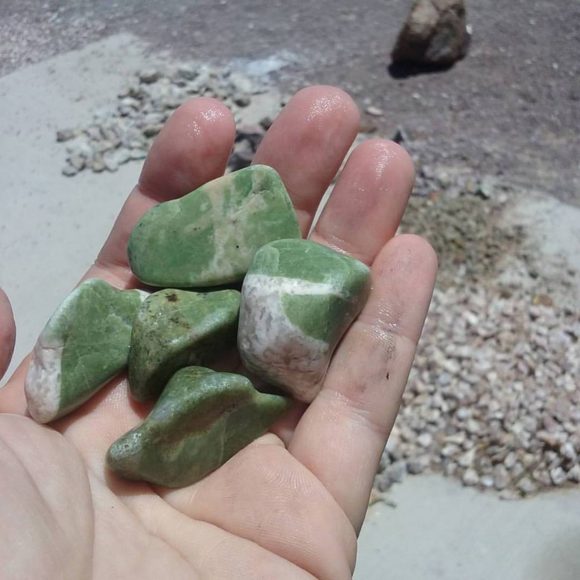
Tumbled nickel quartz from the un-named Nickel deposit
Just off to the Southwest, the road takes you to the Puerto Negro mine, a series of rock dumps that stop at a mine entrance a few hundred yards south of the beginning of the dumps. This is an Arsenic mine that produced an arsenic rich ore with the occasional bit of calcite and realgar. While I have not found many specimens at this location, the few I have found have been quite uncommon, orangy red realgar in layered clear calcite crystals. Drive North to connect back with the power line road and drive over to the next canyon to the South, taking Madrugador Road, home to several prospects for copper and gold, before heading back out to Fort Irwin Road. These gold deposits do not have much in the way of collectables for mineral or lapidary enthusiasts, however, they do produce chunks of calcite and masses of red, iron stained, quartz.
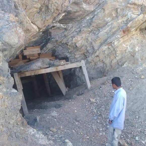
Entrance to the Arsenic Mine, the Puerto Negro
From here, it is time to go across Ft. Irwin Road, just a few hundred yards to the South, a road stretches out towards the Northwest, reaching out to several locations were crystals and lapidary materials can be found. The road is a very nice, mostly smooth flat desert dirt road. There are a couple tiny washed out areas, but most any passenger car can navigate the area. Immediately to the North, a small set of ridges spread out, the ridge to the West of the hills contains two locations to explore. A massive Barite locality called the Ball mine and a funky Wollastonite deposit with some odd rocks to be found. You pull off this new dirt road and into a wash road that loops around, park here and hike into the mountain valley to find the Ball mine, which is easy to see and high up on the hillside.
The Ball mine was a series of tunnels and surface workings that produced massive white barite, which can be found in abundance as lumps of heavy white rock. While unassuming, when exposed to UV light, these lumps glow a pleasing green and pink. There are tons and tons of this material laying around the mine adits, so you will have plenty to choose from. Continuing North into the canyon you will come across a Wollastonite deposit that has bits of calcite and some black rock that is said to be chromium bearing.
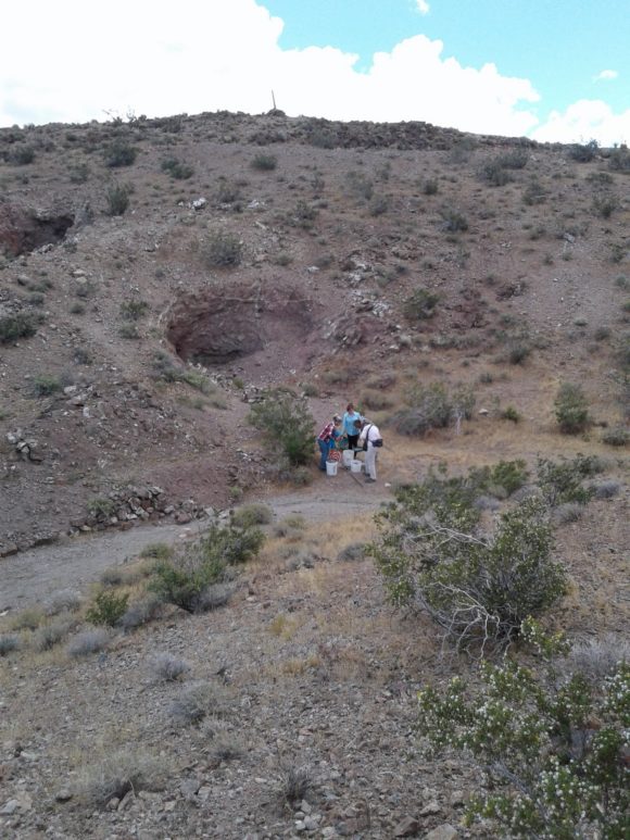
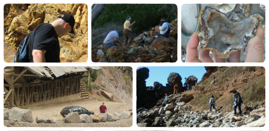
Rockhounds collecting Garnets at the Nobel Prospect
Back on the main dirt road, you continue Northwest for a mile or so until you come across a faint road headed South which leads to a large pile of rocks in the middle of the flat desert. It is unusual to see a pile of rocks such as this, however, this outcropping of rock is a happy accident for all of us. Here you can find a great deposit of Onyx, a flowing series of banded tans and yellows, along with bright red caused by iron impurities, along with areas of quartz, in the center of the stones as well as on the surface. Druzy specimens of quartz and calcite can be found, the only drawback is the size of the matrix they are sometimes attached to! The large chunks of stone cut to reveal beautiful patterns, while being nice and crack free, solid cutting material. It is remarkably easy to find, within a half hour at the location, cutting material to keep you occupied for days and weeks.
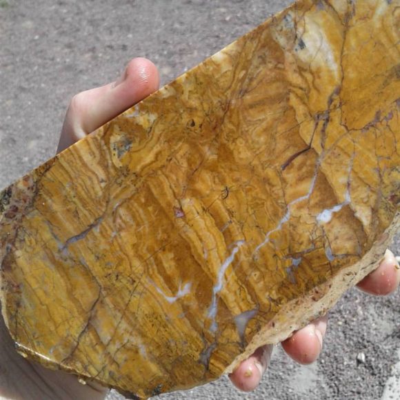
Sliced Travertine from the large travertine outcrop in the North Calico Mountains
Traveling only another thousand yards to the West along the main dirt road, you come across the Noble prospect, a mineralized zone consisting of a short canyon wash to the East, with short adits that pushed out garnets, quartz, epidote and calcite. While we were hoping for garnets trapped inside calcite pods, these garnets are frozen in a quartz matrix, an while crystals can get up to an inch across in size, there is no way to free them from the host rock. Still, terminated garnets can be found in this area and the masses of quartz, epidote and garnet make for interesting lapidary materials. Just a short distance from this wash, a road takes you a few hundred feet to a bench in the mountainside, filled with boulders containing calcite crystals and quartz druzy, the druzy areas measuring up to and over one foot in size on several of the boulders. The trick is to find specimens that are small enough to take home. Several pieces showed evidence of layers of quartz covering and replacing the calcite crystals, which make for very interesting mineral specimens.
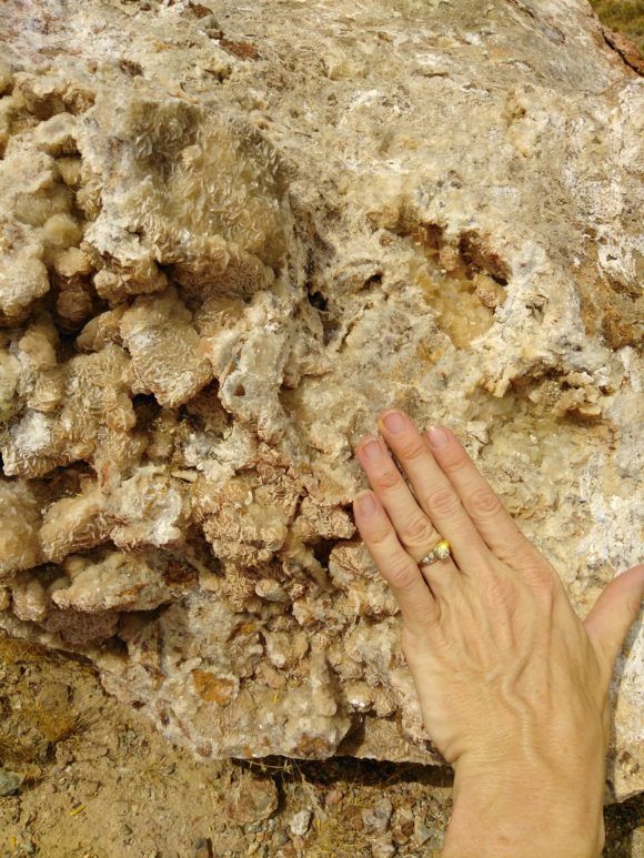
At the Noble Prospect, Boulders of Calcite with Crystals growing in vugs can be found.
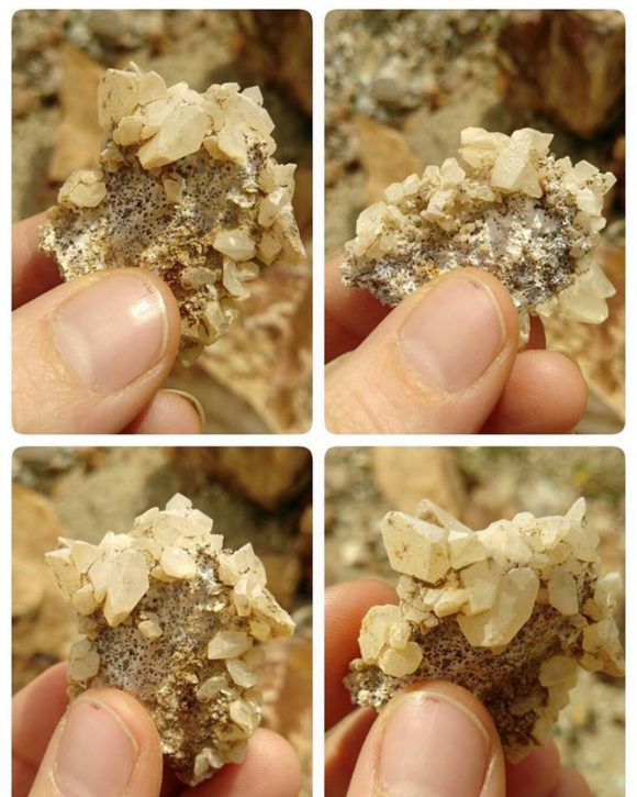
Calcite crystals plucked from the walls of the Noble Propsect.
If you like this article, check out the 28 page full color field guide “Rockhound Barstow” for sale online at the following links
Buy it on eBay
Order it on Amazon, or Buy it for Kindle eBook Readers
Or, hey, here is the map…

Being a field trip leader is a rewarding experience for some people. People who serve as field guides get the opportunity to take people to interesting locations they might have never seen otherwise. In our hobby of Rocks and Minerals, we are looking for places where samples of minerals can be found, such as minerals featuring distinct crystals, or solid minerals, things a lapidary artist would enjoy, to cut and polish. Fossils, natural formations and other odds and ends round out the range of natural science themed excursions. For those individuals who step up to the challenge of field trip leaders and guides, this is my tale, take from it the bits of advice I, Justin Zzyzx, discovered first hand.
Over the course of a decade, I have lead mineral collecting field trips for individual clubs I was a member of, clubs I was not a member of, the California Federation of Mineralogical Societies, public field trips to advertise my natural science themed art gallery, paid trips with tickets for Atlas Obscura and for over a year, a private run monthly field trip service. During that time I had to research locations, go on terrible trips, go on amazing trips, get lost, get found, get insurance, advertise, fix cars, fix people, change plenty of tires, pop plenty of tires and met hundreds of great people.
Becoming a Field Trip Leader –
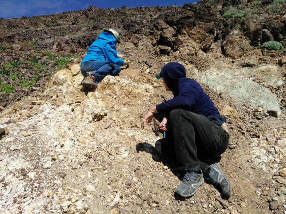 If you are just thinking of stepping into the ring as a field trip leader, my path starts like many others, going to a local rockhound club. From here your path can follow two directions, simply participating in whatever outings the club has and taking the experience from that, or, by furthering your experience by being a helpful participant and offer to lead additional trips or fill in for the field trip leader a month or two. Many clubs experience a bit of burn out when it comes to field trips. It is a somewhat stressful job to be in charge of a group of people’s entertainment. As such, many clubs find themselves in dry spells when it comes to field trips. Sometimes a little bit of fresh energy is a much needed thing, so check out the local scene and see what the general vibe is towards local collecting spots. Club members can be a wonderful source of information on local collecting spots. In addition to the first hand sources of going on field trips with leaders, there is plenty of research to be done with books, the internet and field research. If you are just thinking of stepping into the ring as a field trip leader, my path starts like many others, going to a local rockhound club. From here your path can follow two directions, simply participating in whatever outings the club has and taking the experience from that, or, by furthering your experience by being a helpful participant and offer to lead additional trips or fill in for the field trip leader a month or two. Many clubs experience a bit of burn out when it comes to field trips. It is a somewhat stressful job to be in charge of a group of people’s entertainment. As such, many clubs find themselves in dry spells when it comes to field trips. Sometimes a little bit of fresh energy is a much needed thing, so check out the local scene and see what the general vibe is towards local collecting spots. Club members can be a wonderful source of information on local collecting spots. In addition to the first hand sources of going on field trips with leaders, there is plenty of research to be done with books, the internet and field research.
Books and Your Research Library –
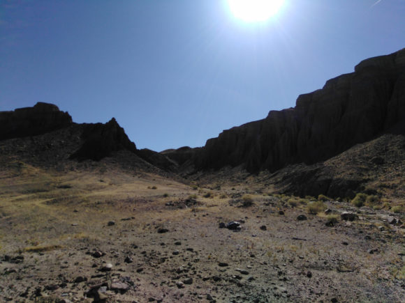 Over the years of field collecting I’ve made it a habit to buy as many field guides from any age and any print style. Locations that might have been popular 80 years ago, then fallen out of favor might resurface from investigating old field guides. Important information that got skipped over in future editions, or vice versa, information in contemporary guides that might save you time! From this information field research can begin, because one of the most important rules of leading a field trip should be…One Should be INTIMATELY FAMILIAR With the Location Before Taking Any Group. For there could be fewer things in life as painful as wasting the time of any number of people expecting you to take them somewhere and understand what the deposit is about. Over the years of field collecting I’ve made it a habit to buy as many field guides from any age and any print style. Locations that might have been popular 80 years ago, then fallen out of favor might resurface from investigating old field guides. Important information that got skipped over in future editions, or vice versa, information in contemporary guides that might save you time! From this information field research can begin, because one of the most important rules of leading a field trip should be…One Should be INTIMATELY FAMILIAR With the Location Before Taking Any Group. For there could be fewer things in life as painful as wasting the time of any number of people expecting you to take them somewhere and understand what the deposit is about.
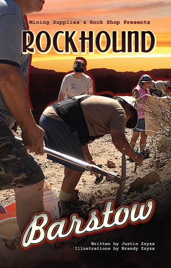 You should own a copy of this field guide and go Rockhound Barstow California!
You can find contemporary and classic books for sale on amazon and ebay by using the links on this page http://wheretofindrocks.com/field-guides/ and also at your local bookstores. I’ve personally had the best luck at mineral shows and buying on ebay and amazon. ebay tends to be the place where you can find all sorts of oddball field guides and lots of regional guides you would only find online and at local rockshops of the area. In addition, members of your local rockhound community can be the best sources for literature, as they might be able to direct, sell, loan or otherwise help with sourcing local rockhounding literature.
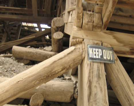 The local library is often a wonderful source for local mineral collecting literature. For example, while visiting a location 2500 miles away from my home, I found at the library some documentation talking about the mining districts in the 1910’s. I then matched these locations up to a current map and saw that TWO of these location were on land that I could visit and inspect for minerals. Dig deep and you can be rewarded with historical information that can turn up some amazing re-discovered mineral deposits. The local library is often a wonderful source for local mineral collecting literature. For example, while visiting a location 2500 miles away from my home, I found at the library some documentation talking about the mining districts in the 1910’s. I then matched these locations up to a current map and saw that TWO of these location were on land that I could visit and inspect for minerals. Dig deep and you can be rewarded with historical information that can turn up some amazing re-discovered mineral deposits.
Initial Field Research –
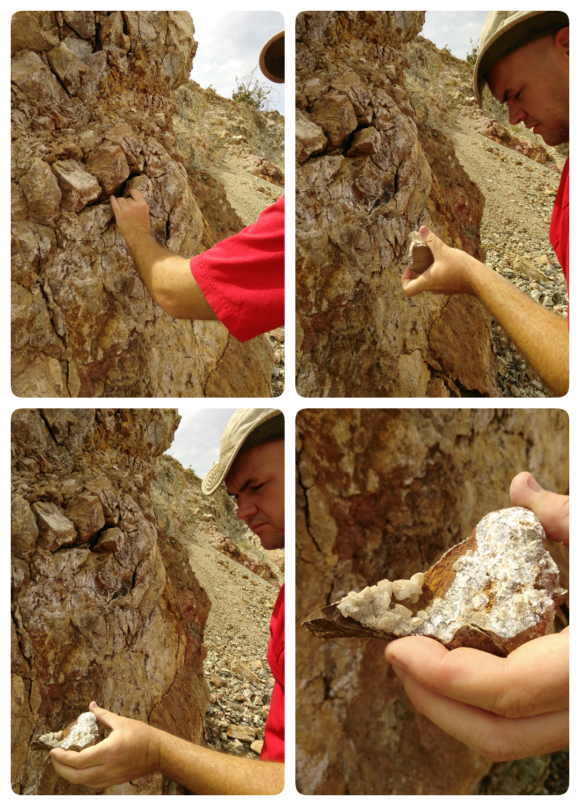 Visit the Location Beforehand and Collect Samples I would rather not take people on a wild goose chase. I did that one time and if I can help you avoid it, my heart will sing. Early in my days of leading field trips, I took a group of 8 individuals up the Garcia Trail in search of the Felix Fluorite deposit, just overlooking a vast neighborhood near Azusa California. What I did not know was, the deposit is not UP the Garcia trail, that is just where you START, after 100 feet you hop off and up to the deposit via a fire road that is snaking alongside the hills, not going STRAIGHT up it, like the Garcia Trail. After an hour of strenuous hiking, several of the participants cursed my name and vowed to never go on another trip with me. At that moment I vowed to never make that mistake again!
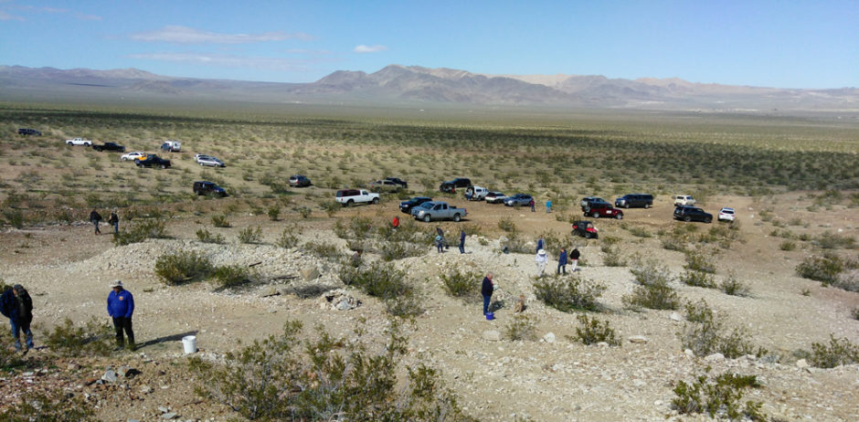
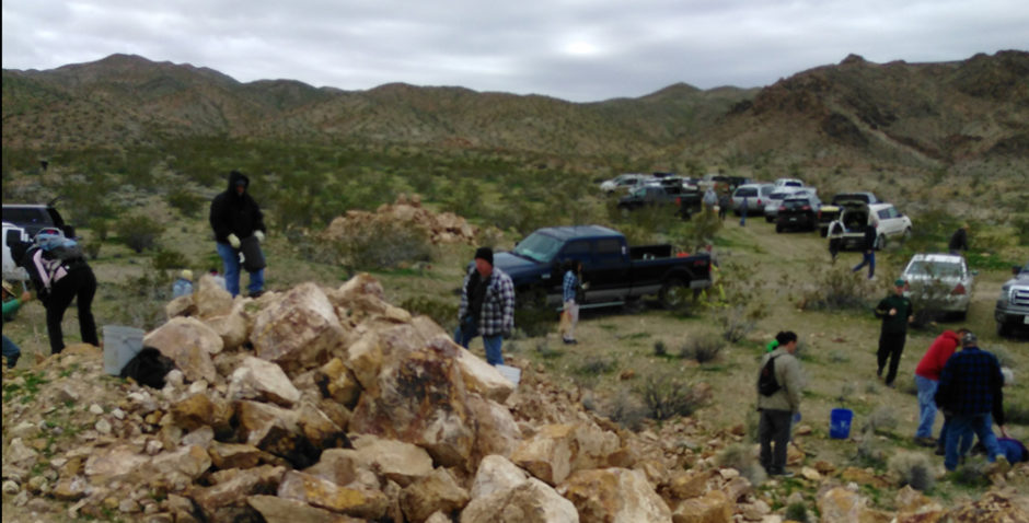
Now I make sure I have personally visited any location I plan on taking people to, no surprises. I try to map out alternative directions, ease of use, parking areas and identify where the guests will be collecting and locate a few samples to have on hand on that day. It might be easy to find parking for a handful of cars, but a few times I have had upwards of 50 vehicles all pouring down one lane tracks in the desert, wondering where they will all line up and how they will leave. At the very least, all locations must be visited twice, once beforehand and once for the actual trip. The best locations are ones that you are VERY familiar with, ones you have spent time visiting, researching and so forth. There are several locations I have visited well over a dozen times, places I could, and in fact, have given, educational talks about. That is how well I want to know a location I will take people to. I mean, a little less than that works too, but to really love and understand a deposit, that is a place that will love you right back.
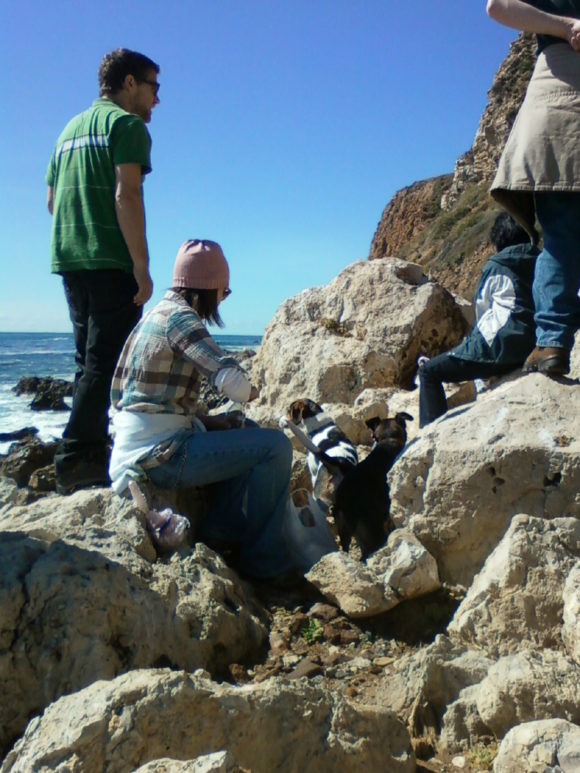
For example, Rancho Palos Verdes California. It is a PERFECT location for field trips, for research, for developing literature of its own. RPV (and the surrounding areas of this peninsula off the south west of Los Angeles Harbor contains a variety of crystallized minerals, fossils and plenty of public areas where collecting is permitted and encouraged. It has a story involving a land deal/mining claim gone dirty to allow for housing tracts in this once rural farmland. It has ample scientific study material to draw from, both past and current, interesting geological features, along with plenty of natural features to keep people interested. I have given no less than 20 trips to RPV to collect crystallized dolomite, barite and play in the tidepools with the starfish. I have given a 45 minute talk to several clubs in the Southern California area on the subject of this very peninsula. That is why field trips to this location are a favorite of mine to lead, can be done at a moments notice and so forth. If I was a field trip leader of a club in Southern California, a trip to Rancho Palos Verdes would be a yearly pilgrimage.
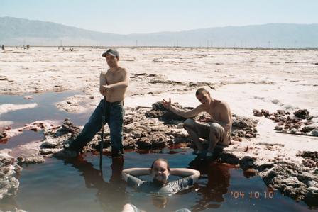 I spent at least 3 years doing weekend adventures with my working friends. Many of my now lifelong friends joined me for many of our private adventures. You can be sure that several places visited during that time would fit right into my list of regular locations. It is ALWAYS advised to have one or more friends out with you when exploring. Safety. You have no idea how many crazy adventures would have been that much worse if I did not have compatriots. It is these trips that, when they end in failure, who cares? You are hanging out with like-minded individuals, enjoying the trip. Finding the minerals, on private prospecting trips can often be a happy accident. On a guided trip, that BETTER not be the case! I spent at least 3 years doing weekend adventures with my working friends. Many of my now lifelong friends joined me for many of our private adventures. You can be sure that several places visited during that time would fit right into my list of regular locations. It is ALWAYS advised to have one or more friends out with you when exploring. Safety. You have no idea how many crazy adventures would have been that much worse if I did not have compatriots. It is these trips that, when they end in failure, who cares? You are hanging out with like-minded individuals, enjoying the trip. Finding the minerals, on private prospecting trips can often be a happy accident. On a guided trip, that BETTER not be the case!
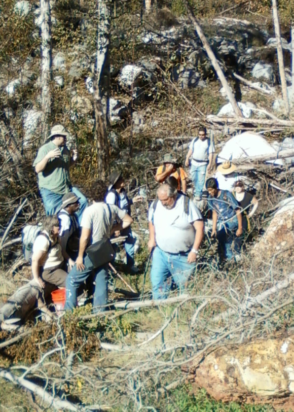 My crew of local collectors have a list of locations we visited a half a dozen times or more before we found them. Like stupid STINKO california…well, That is what we call it. Cinco, a location for Feldspar crystals, it is SO EASY to show you EXACTLY where it is on a map today, but for our group, we went to that place nearly 10 times before finding the correct deposit. The blackberry bushes used to be my bane at the Mount Baldy Corundum location, now, I try to plan a trip there in August to enjoy the fruits along the PATH into the deposit that we could not find until our 9th trip into the river valley. I can easily feel confident taking up to 60 people into that location, knowing all of them will find quality materials, that it is relativity safe, easy to get to and legal to collect at. My crew of local collectors have a list of locations we visited a half a dozen times or more before we found them. Like stupid STINKO california…well, That is what we call it. Cinco, a location for Feldspar crystals, it is SO EASY to show you EXACTLY where it is on a map today, but for our group, we went to that place nearly 10 times before finding the correct deposit. The blackberry bushes used to be my bane at the Mount Baldy Corundum location, now, I try to plan a trip there in August to enjoy the fruits along the PATH into the deposit that we could not find until our 9th trip into the river valley. I can easily feel confident taking up to 60 people into that location, knowing all of them will find quality materials, that it is relativity safe, easy to get to and legal to collect at.
Make a List of Viable Locations –
This step is highly variable. Some guides focus on just one or two locations. Perhaps they lead a regular trip for one specific group. My local attraction near my house does a private tour of underground workings of an old silver mine. That is the only tour they offer. They know that tour REALLY well. I, on the other hand, can take you to 12 locations, easily, to collect minerals and lapidary materials within a five mile radius of that place. Having access to open BLM land makes the task quite a bit easier. Depending on the area you are in, having a location where you can bring small and large groups to might be a challenge. One option is to limit the amount of people that can go on a trip. This is not an uncommon solution.
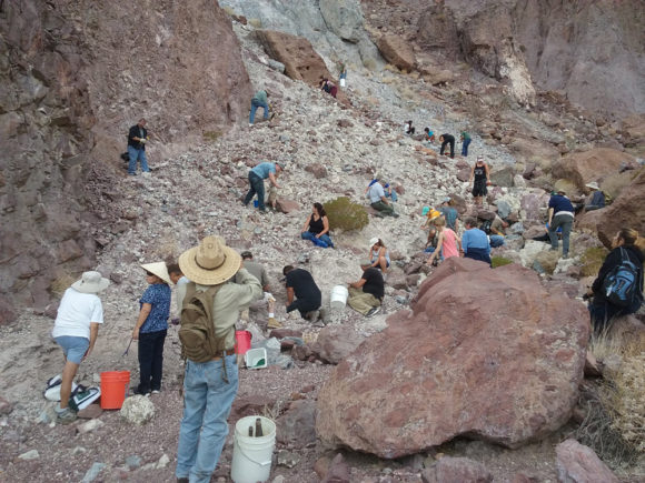 Once you are familiar with your area, make a list of places and start working the pro’s and con’s on taking people to the location. Access, Safety, and Material. I do not mind taking people to a location that is “sub-par” like, for instance, the tiny quartz crystals by Mount Baldy are not show-stoppers, but they are THERE and such fun to find and in such a beautiful location, it was worth-while, even if the material is just so-so. I also love to do double trips, if possible, go to a location that is good for lapidary and one that is good for crystals. Some trips I’ve lead have gone to three locations in one day without any complaint from the collectors. I find most collectors are ready to head out after an hour or so, moving them to a few locations can stretch their interest out a few hours. Pay to play locations are ok, most of the time. Not the scam salted dig sites, but the gem dumps in Southern California, the Sunstone mines of Oregon, the Quartz mines of Herkimer New York. Many of these locations make great trips for rockhounding groups. Don’t be a afraid to find the best places to use in your field trip list. Once you are familiar with your area, make a list of places and start working the pro’s and con’s on taking people to the location. Access, Safety, and Material. I do not mind taking people to a location that is “sub-par” like, for instance, the tiny quartz crystals by Mount Baldy are not show-stoppers, but they are THERE and such fun to find and in such a beautiful location, it was worth-while, even if the material is just so-so. I also love to do double trips, if possible, go to a location that is good for lapidary and one that is good for crystals. Some trips I’ve lead have gone to three locations in one day without any complaint from the collectors. I find most collectors are ready to head out after an hour or so, moving them to a few locations can stretch their interest out a few hours. Pay to play locations are ok, most of the time. Not the scam salted dig sites, but the gem dumps in Southern California, the Sunstone mines of Oregon, the Quartz mines of Herkimer New York. Many of these locations make great trips for rockhounding groups. Don’t be a afraid to find the best places to use in your field trip list.
Insurance –
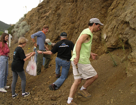 One of the perks with rockhound groups is by being a member you are covered by the Federation’s insurance policy. Rockhounding can be dangerous. It is up to me to create as safe as an experience as I can. Accidents happen. Accidents can be expensive. You better be insured. To make sure you are covered, it is worthwhile to purchase liability insurance if you are leading private field trips. If it is just myself and a couple friends and an accident happens, that’s up to fate. If something happens while on a sanctioned club field trip, the Federation’s insurance policy covers it. When I lead field trips for a public tour group as a freelancer, they covered the insurance policy. When I lead private field trips, it is my duty to provide insurance coverage. In my experience it is typical to find a rate for a year of 1 million dollars in liability coverage for around $800.00 USD as of 2017. Insurance is a must have. One of the perks with rockhound groups is by being a member you are covered by the Federation’s insurance policy. Rockhounding can be dangerous. It is up to me to create as safe as an experience as I can. Accidents happen. Accidents can be expensive. You better be insured. To make sure you are covered, it is worthwhile to purchase liability insurance if you are leading private field trips. If it is just myself and a couple friends and an accident happens, that’s up to fate. If something happens while on a sanctioned club field trip, the Federation’s insurance policy covers it. When I lead field trips for a public tour group as a freelancer, they covered the insurance policy. When I lead private field trips, it is my duty to provide insurance coverage. In my experience it is typical to find a rate for a year of 1 million dollars in liability coverage for around $800.00 USD as of 2017. Insurance is a must have.
Safety and First Aid –
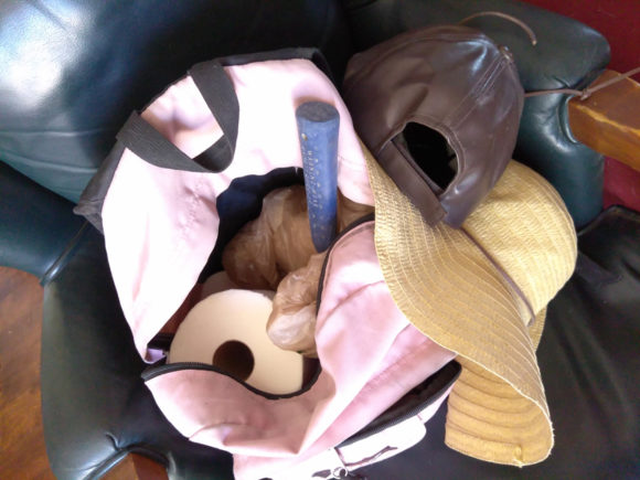 There are two things to consider – How can we prevent an accident from happening BEFORE it does and How can we be prepared for an accident if it does happen. My first step is making sure that everyone on a trip I lead understands the basic “Rules of Rockhounding” with my own little tweeks. My personal add ons are – There are two things to consider – How can we prevent an accident from happening BEFORE it does and How can we be prepared for an accident if it does happen. My first step is making sure that everyone on a trip I lead understands the basic “Rules of Rockhounding” with my own little tweeks. My personal add ons are –
#1 – Leave all the animals alone. You can do what you want on your own time, but with me today, please leave all animals, lizards, bugs, birds and other wildlife alone.
#2 – Children love to climb, but not today. If you see a really amazing loose tallus slope to slide down, more power to you, but not today on this trip.
#3 – 100% NEVER allowed to enter mine tunnels, adits or undercut a digging area. Come back on your own free will, I tell the visitors, if you want to explore underground, however I advise against it 100% of the time if for NOTHING else then, see the part about Insurance.
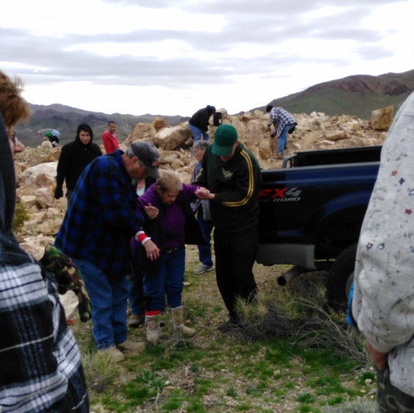 Even while you must tend to an injured field tripper, other participants are unaware, and are still rock hounding. Both are your responsibility. If I allow any of these to happen, I could potentially void the insurance coverage. What we need to avoid is Negligence. In addition, being trained by your national safety organization
in First Aid, like the NSC here in United States is a valuable skill for any human. Click here to learn about First Aid Training by the NSC.
A first aid kit is a must have for every field trip leader. At the very least you should be able to issue ibuprophen, bandages for minor cuts and scrapes, at the worst, be ready for someone who could break a bone or sustain an eye injury. You make sure people who are hammering are wearing appropriate safety gear and being mindful of those around them, and then, making sure that people exploring are aware of the people digging, you can avoid eye injuries. Sure, it can seem like you are “restricting” some people’s fun, but safety should always be a TOP concern.
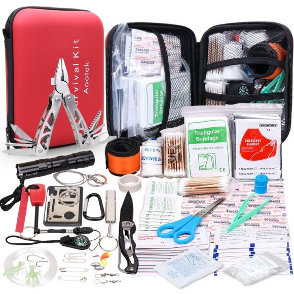 A first aid kit like this is perfect for the rockhound field guide
You can get this on Amazon for a steal! https://amzn.to/2sshYj1 Preparing for Vehicle Troubles –
Flat tires, busted oil pans, bring to me your problems, oh, field trippers and I will make sure to spend the extra hour to make sure you make it home!
Think about having the following…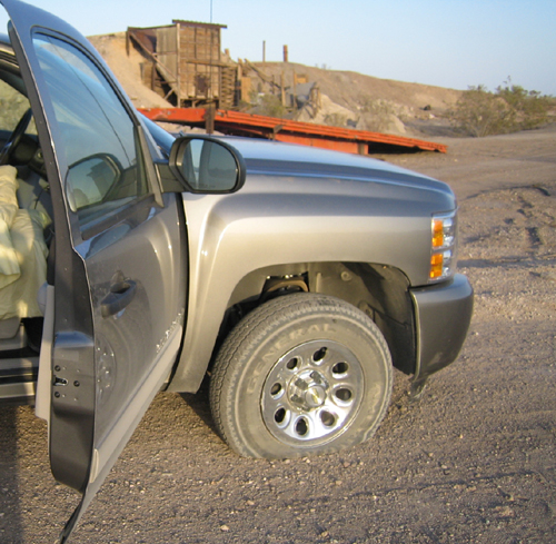
• Road building tools. Usually the same stuff as rockhounding, make sure you can dig out someone who is stuck in mud or sand.
• Carpet scraps or two, for under wheels of stuck vehicles.
• JB Weld Clay. Holes in various pans can be very problematic. JB Weld clay can be used to patch holes in oil and transmission pans.
• Oil and transmission fluids. If space permits, having a spare quart or 5 can be VERY handy.
• Duct Tape – more patching!
• Tire inflator – Like this one
• Tire Patch kit – If it was a puncture by a sharp tire on the tread, this is very handy!
• Jumper cables – because, dang it, we left the lights on and the radio on and the phones charging and I don’t know why this dang thing went dead…
Promotion and Options –
There are several reasons WHY you are interested in being a field guide. You might be leading people to one or two locations because it is commercially related to another business, like mine owner tours to their own mine. You might want to participate in your local club, hopefully you are already and simply reading this for fun. You might see a commercial viability in leading field trips, as there is, to an extent.
Basically, whatever I’m covering in this niche can be applied to most natural and outdoors topics. I could just replace the words rocks and have been talking about hunting antique marbles, making gravestone rubbings, geocatching or IDK, whatever topic someone might want to share with a group of interested people.
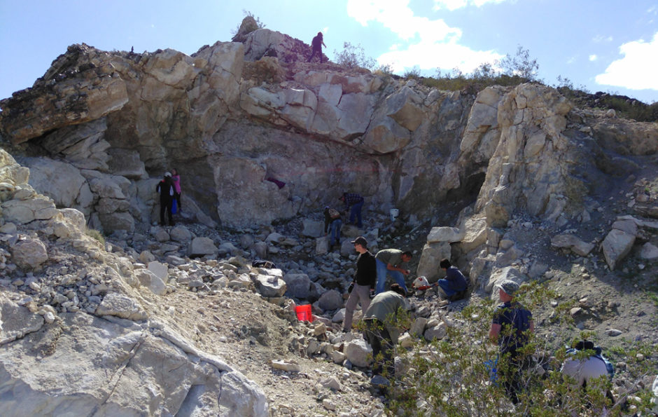
Here is what I did.
In 2003-2006 I lead field trips for various clubs and one trip for the California Federation, as well as attended many lead by members of the Mineralogical Society of Southern California.
During 2006-2008 I would simply take friends out collecting and join club field trips. During this time we were also traveling for 6 months filming over 250 mineral collecting locations all across America and Canada.
In 2009 I started doing free public field trips where I would simply post on various online bulletin boards in the Los Angeles Area and invite people to join me at a specific time and place for the trip. I would have between 2-20 people join me on those trips.
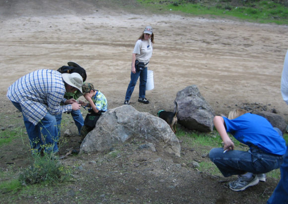 2010-2012, I used these to promote my natural science art gallery. We would host quarterly, free public field trips. 2010-2012, I used these to promote my natural science art gallery. We would host quarterly, free public field trips.
2013-2014 I was being contacted by various groups and individuals to lead private paid field trips. My favorite was Atlas Obscura, who would sell the tickets for a field trip for $40, they would sell out within a week and those people were some of the happiest rockhounds I ever met!
Around 2015 I had moved to the high desert and I was still doing free public field trips. During one of these trips I met Cyndy and Lois, who were local club members in the Victorville/Hesperia area and informed me that the local clubs were lacking field trip leaders. They opened a wonderful rock shop in Hesperia and it was not long before we came up with the idea of doing a paid monthly field trip. For $40 you got a 6 month subscription to the field trip list. Once a month you would get an email telling you where and when.
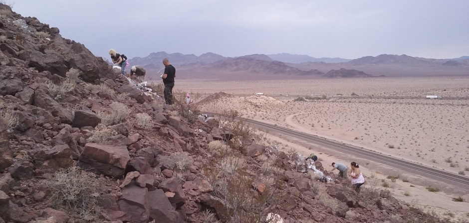
For those 6 months, you could come, or not come, at your own discretion to each month’s trip. The costs would be insurance and the tour guide’s wages, but for the sake of the business readers, let’s say, $800 for a year of insurance, let’s say $3000 for your field guide ($250 per month), you are at 100 users per year to break even, or 50 paid tickets every 6 months. Anything above that is gravy, so if you are a shop owner and want to try something like this, there is a good reference number. I’m not 100% on how many tickets were sold during my 18 months of field trips, however, I’m certain we beat these minimums quite handily.
Conclusion –
If you want to get into this position as a member of a rock club or to promote your local interest, if you want to simply share the joy of Rock Hounding to the public, it is best to be prepared with;
 Knowledge Knowledge
Time Devotion
Safety Training
Reasonable People Skills (hopefully)
For this, you can have the joy of spreading the topic of your interest and parlay that into writing articles, giving talks and additional paid gigs. If you found this article useful, feel free to link to it on your club website, facebook account or include parts of it for reprint in your club newsletters.
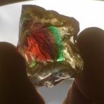
Spectrum Sunstone Mine- Dig Your Own Fiery Gemstones in Oregon
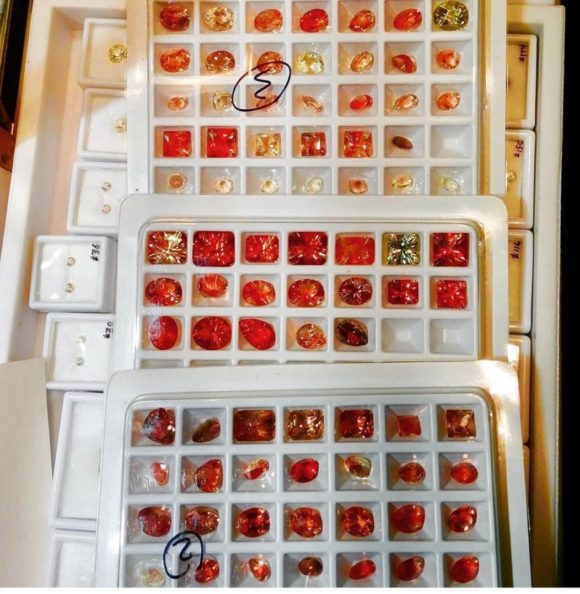
It is very rare that a mine producing something as gorgeous and valuable as Oregon sunstone and the folks at High Desert Gems and Minerals are allowing you to do that at their site located northeast of Plush, Oregon in the High Desert! Featured on the History Channel’s Cash and Tresures, The Spectrum Sunstone Mine currently produces some of the most gorgeous gem sunstone out there in amazing colors, but mostly hues of red and orange but some amazing exotic colors too like purple, green, watermelon, and schiller-effect material. This gem can only be found in Oregon and nowhere else in the world. To be specific, this sunstone is a variety of labradorite but appearance and chemistry wise it differs from the classic, bluish iridescent material from Madagascar or Finland. There is nothing out there quite like them, a truly unique and gorgeous American gemstone.
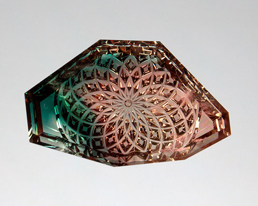
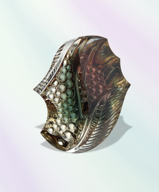 gorgeous freeform stones cut from Oregon sunstone by master gemcutter Dalan Hargrave- dalanhargrave.com
About the Gem-
Unlike many precious gems such as diamond or sapphire, sunstone is prized for its variations of color and inclusions. Many faceters prefer to work with these inclusions when cutting stone, adding to the uniqueness to each piece. The high hardness (6.5 to 7) gives this gemstone enough durability that it can be set in jewelry without much worry of chipping or cracking the stone. Value of these stones varies from tens of dollars per carat to thousands and depends on color, saturation, and how the inclusions if present catch the light. These beautiful colors and inclusions are formed by inclusions of copper that precipitate from the molten feldspar as it is crystallizing. The copper included gem sunstone is extremely unique to Oregon. Many amazing carvings by the finest artists in the world have been made from sunstone rough, highlighting the amazing degree of variation held inside.
History-
Sunstone is Oregon’s state gem, granted that status in 1987 after being recognized by the US government as a gemstone in the 1970s. Interest in Oregon sunstone and mining for it in the Plush area was happening decades before the 1970s, however. Sunstone was a prized stone collected by Native Americans who were likely the first people to ever assign value to the gemstone. They believed the sunstones held great power and would even bury them with their dead.
There is local Native American lore about the sunstones, and they were used ceremonially among certain tribes. The legend goes as follows: An ancient warrior was hit by an arrow in battle and his blood dropped on the ground, where it scattered on the sunstones, giving them sacred power. It is not only the beauty, but this power that the natives valued and drove them to use these beautiful stones in their jewelry.
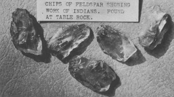 Collection of sunstones in the Jacksonville (OR) Museum believed to have been brought into the area by Indians. Sunstones didn’t gain popularity among europeans until beautiful, desirable material was discovered in Scandinavia in the early 1800’s and Eastern Siberia in the late 1800’s. Later on, settlers discovered deposits of sunstone in Oregon’s Warner Valley and interest grew in mining these stones. In 1908, Utah prospector Maynard Bixby announced his findings Tiffany & Co. of New York City acquired mining claims in the Plush area in the early 1900s which they no longer mine. One of these claims, which they did previously mine is now the Spectrum Sunstone Mine!
Interest has continued to grow to the point where many private claims and several commercial mines have been opened, the Spectrum Sunstone Mine offering some of the finest, deeply saturated material to the public to dig! Chris Rose and High Desert Gems and Minerals has continued the legacy of mining for this special gem and has opened many world famous sunstone mines, 11 total, producing a dazzling array of gems. Here is your chance, provided by High Desert to take part in the legacy of mining your own American gemstone.
Geology-
Sunstone forms in basaltic rock laid down in a giant lava flow and were formed around 15 to 16 million years ago. The source of this rock were volcanic eruptions that built the terrain of eastern Oregon. The sunstone itself is a form of feldspar, specifically a calcium rich labradorite. This labradorite is very different from the bluish shimmering material from Madagascar and elsewhere many of you likely have seen.
Feldspar is an important rock forming mineral, one of the most significant worldwide but that with the high gemminess and color of Oregon sunstone is very rare. The sunstone forms in unique flows of porphyritic basalt. The term porphyritic referring to large crystals suspended in finer grained matrix. These crystals are the sunstones and they formed within the lava freely floating before it cooled, so they became suspended in a finer grained rock matrix. Porphyritic texture in basalt is relatively common, but most of the time the feldspar porphyroblasts from elsewhere are opaque and never worth saving. The Oregon sunstone deposits are some of the few mined for this kind of gem material. The presence of copper in the flows of the Plush area, which give these gems their color is unique to the region.
Although basalt is very abundant in the Pacific Northwest, the basalt flows produced in the various eruptions during the region’s past are small and produce some chemical and geologic variation regionally. The geochemistry and petrology of these rocks still needs more detailed description, so there is a lot of opportunity to research this area in detail for anyone academically involved
Mining Yourself-
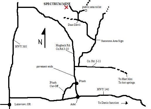
The Spectrum Sunstone Mine is a patented mining claim and is open daily to fee digging seasonally from May 15th to Nov 1st . They are open to mining from 9am to 5pm every day! The site is located I the remote Oregon high desert. Remember to bring plenty of snacks and drinking water to the site. It’s pretty far out there! It is a good idea to brig your own tools and bags to the site though loaner screens are available. The onsite shop also sells some tools. You will need a screen, buckets, shovels, rakes, baggies for your finds, and if you plan on working the pit a hammer, chisel, prybar, and other appropriate rock breaking tools. Some of the roads getting to the site are rough, so be sure your vehicle and the driver can handle it. Here is a map above and directions from the High Desert’s site:
When driving from the south follow these directions :
(Stay on the main roads according to our directions. After Plush, OR… if you are unsure: do not turn unless there is a sign that says sunstone (some of the signs are very weathered). You will cross 5 cattle guards on the dirt road.)
Follow highway 395 north through Lakeview, OR and then head east on highway 140 towards Adel.
After mile marker 15 you will see “Plush Cut-off” sign, turn there (left).
Set odometer at Hart Mountain Store in Plush, OR to 0.0 miles.
Follow road (Co. Rd. 3-10, a.k.a Hogback Rd.), (which takes a sharp bend to the east at 3.6 miles).
At 5.2 miles the pavement ends, continue on dirt road.
At 10.1 miles turn east (right) onto Co. Rd. 3-11.
Go 1/2 mile (reads 10.7 on odometer) and turn north (left).
(Do not turn until you reach the next sign…)
At 19.2 miles you will see the “Sunstone Area 5 miles” sign, turn left.
Slow down!! Dangerous curves, especially at 20.4 miles and 22.4 miles.
After the cattle guard you will see several mines in the distance. We are the furthest mine… look for the tipi!
24.1 miles turn right on road after passing Dust Devil’s sign. You will be heading towards the Public Collection Area.
(If you are expecting to arrive at night please set up camp in Public Collection Area (follow signs)…continue directions in morning!)
Take the first left or the second left (before reaching Public Collection Area bulletin board)! Follow the road. Please sign in at the office, and don’t run over the sage brush.
IF YOU ARE DRIVING FROM THE NORTH, PLEASE READ THE FOLLOWING INFORMATION.
From Bend, Oregon take highway 20 east to Riley. Take highway 395 south. Turn left – east- on Hogback Rd (near mile marker 64 – which is north of Abert Lake). Follow Hogback Rd. until the turn for Co. Rd. 3-11 (about 19 miles) where you turn left. Continue with directions above from Co. Rd. 3-11.
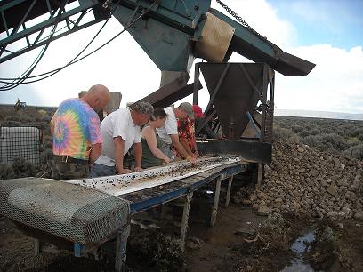
They offer several kinds of mining in different price ranges you can participate in.
High Grade Conveyor Belt Run-
This option allows the miner to go through unsorted material immediately coming from the mine! Material is passed down the conveyor belt and is just washed off by water by you to reveal the gems. The cost is $200/hour and though steep, allows you access to premium material immediately as it comes out of the mine. Approximately six tons of mine material are processed per hour through the conveyor, so it is definitely a high volume dig.
High Grade Ore Piles- The mine offers high grade piles of ore you can search through for $150 to $200 each. Water available for washing. You get to keep everything as always!
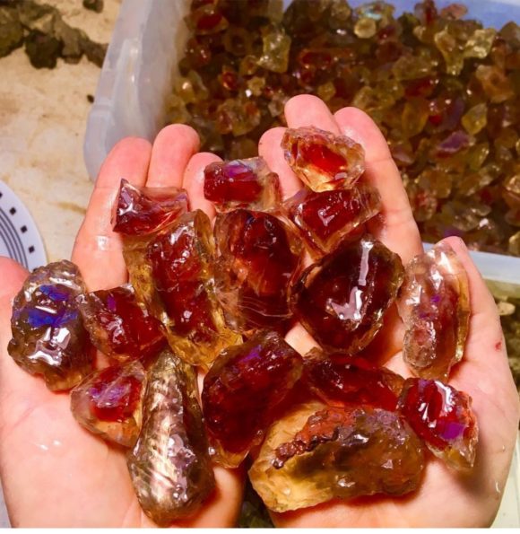
All You Can Eat Buffet Ore Pile- The miners will pile up concentrate for you to sort for over the course of two days! This is a great choice to get the sunstone mining experience and to score some amazing gems. It’s a great family activity and is perfect for groups! Limit is 2 people for $300, 3 for $350, 4 for $400, and groups of 5 or more for $100 each extra.
Pit Digging- For $100 to $200 per person, you will be allowed to dig in the high grade pit with tools! Perfect for the avid rockhound and those who really want to understand the geology behind this deposit or just do some hard rock mining.
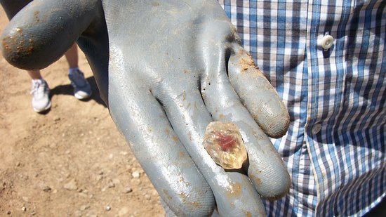
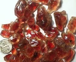
Mine Run Material Through Mail- If you want to get your hands on some Spectrum Sunstone Mine material now, you can buy mine run high grade and have it delivered right to your house! They run about six tons of ore through the conveyor and send you what they pick out after one hour! It isn’t the same experience as digging your own, but will hook you up with some awesome material.
Accommodations-
Primitive camping is available free of charge at the site as well as RV camping. Electricity hookup is not available for RVs. Cabins are also available with provided hot water, showers, and restrooms for $45 a night or you can stay in a tipi for $40 per night! Bedding and cooking supplies not included- you bring your own.
A general store for supplies is located nearby but otherwise this location is very remote. Please plan appropriately. See www.highdesertgemsandminerals.com for more info.
Sources:
http://www.doubleeaglemine.com/HistoryOregonSunstone.html
https://www.highdesertgemsandminerals.com/html/spectrum_sunstone_mine.html
https://geology.com/gemstones/sunstone/
http://www.dalanhargrave.com
https://www.oregongeology.org/milo/archive/MiningDistricts/LakeCounty/UnclassifiedDistrict/SunstoneAreaClaims/SunstoneAreaReport.pdf
http://www.4facets.com/sunstone.html
https://oregonsunstoneguide.com/mineral-data.html
While researching mineral locations for the field guide “Rockhound Barstow” we noticed a few different fluorite deposits listed with vague pinpoints associated. One of our favorite spots to visit is the area south of Afton Campground.
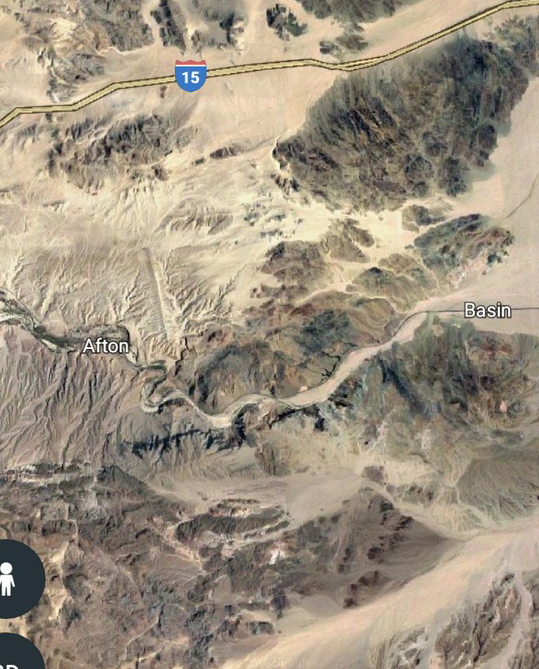 Highway 15, halfway between Las Vegas and Los Angeles with Afton and Basin, the West and East ends of Afton Canyon seen and the popular agate/jasper collecting spots of the North Cady Mountains in the lower half of the map. Afton Canyon is a remarkable place, featuring dramatic walls surrounding miles of washes leading into the Northern Cady Mountains, a wonderland of agates, jaspers and various mineral oddities. To the North, there are two exits that will take you from the 15 down to Afton Canyon and the North Cady’s. Afton Road will take you to the campground and for those with 4×4, you can take the Spanish Trail East and you’ll pop out on the other side of the mountain, otherwise accessible by Basin Road, the next exit Northbound on the 15 from Afton Road. Taking Afton Road will get you to the campground where you can proceed into the area on foot, or, by taking Basin Road, you can drive to the deposits on rugged dirt/rock/sand roads.
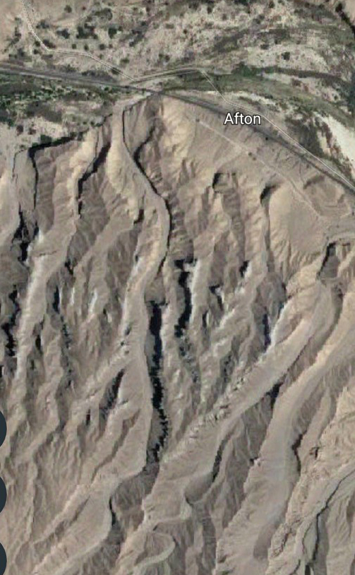 Afton Campground with parking, leading to the large canyon, Pyramid Canyon, with the popular collecting site Hanging Canyon seen in the center, just to the East of Pyramid Canyon. For our trip, we can go two ways. We can drive in on Basin Road and then take a series of washes and mountain roads and bam, you can drive right to the fluorite prospects. It is a tough drive and with some satellite maps and planning, you can attempt to reach the location via vehicle. We do not go in this way. We walk in from Afton Campground, through Pyramid Canyon. You start by going under the railroad bridge and across the shallow waterway of Afton Canyon to head South into the giant canyon wash. This wash continues for about 1.6 miles taking you through some magnificent large canyon walls, ending at a giant block of black basalt with a waterfall opening some 100+ feet from the bottom. Instead of walking to the back, we walk up a switchback .2 miles before the end, which takes us up to the top of the canyon. A road and path lead you to the upper wash, which would spill out into the lower wash we just hiked up. This whole area is a treasure box of crystals and lapidary goods, with different things found on different hills. Tons and tons of red and yellow jasper is found all over, zeolite included agates and jaspers, crystals of quartz and calcite and even some odd-ball zeolites, casts and epimorphs are found tumbling out of the basalt hillside. The basalt here features areas of intense gas bubble inclusion, resulting in literally MILLIONS of quartz pods filling the ground. Some of these have crystals, some of them did weird things, like replace zeolites and anhydrite, some of them have calcite on top of quartz, sometimes the quartz is over the calcite. It is a fun, uncommonly visited, vast in area, place, most often visited by people in search of agates and jaspers.
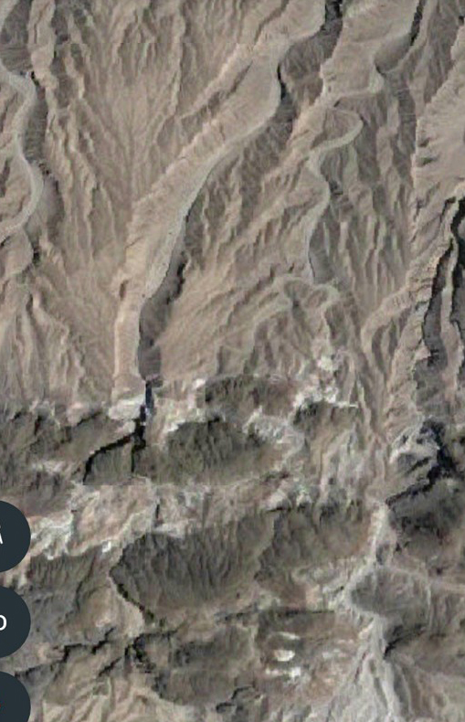 The Pyramid Canyon wash leads you to the near end of the lower canyon, then a out of use dirt road takes you up and to the Eastern side of the canyon and up into the black basalt deposits that make up the upper part of Pyramid Canyon. 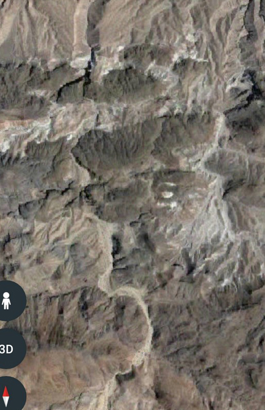 Satellite view of the basalt hills at the end of the Pyramid Canyon heading to Afton Campground. At the bottom of the photo you can see the “Mixing Bowl”, to the right of that the Fluorite deposits are found. Continuing South on the upper wash of Pyramid Canyon you come to what we call the “Mixing Bowl”, which is an area that had three washes mix into it, making what looks like a pool in the wash. To the South there is a 10 foot waterfall wall which most can scale up with little assistance. To the SouthEast there are two washes, both of which lead to the Fluorite deposits of Afton Canyon. Yet, they are not really terribly close to Afton Canyon, we just had to walk nearly 2.7 miles to get there, from Afton Canyon. Maybe the Fluorite deposits of Near the wash that leads into Pyramid Canyon did not have the same ring.
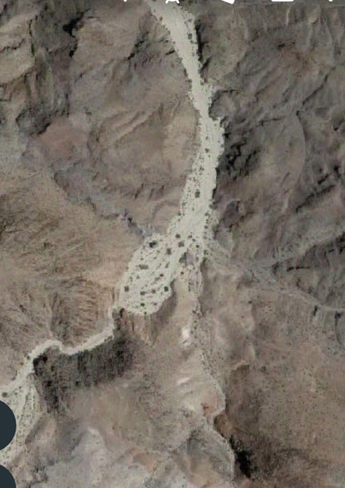 Satellite view of the “Mixing Bowl” near the end of the wash above Pyramid Canyon 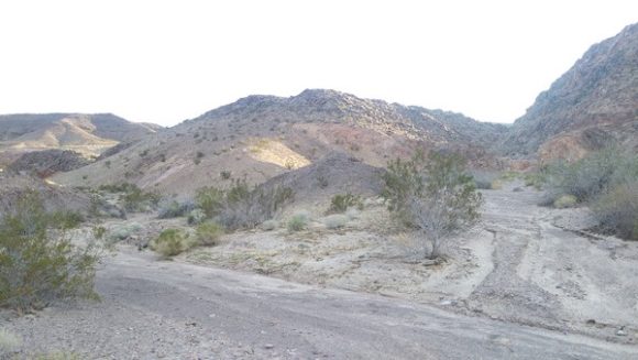 Mixing Bowl near the furthest point of Pyramid Canyon. Waterfall to the Right leads to the Cattail fossils, to the Left is the wash that leads to the Fluorite deposits. 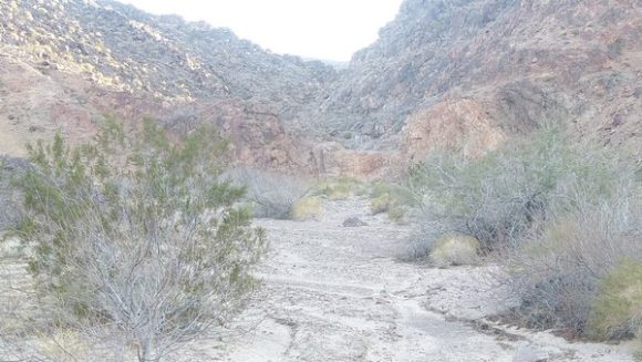 To the North of the “Mixing Bowl” there is a 10 foot tall rock wall, a former waterfall, you have to climb up, or down. If you hop up the waterfall you can walk over to a deposit of “Cattail” reeds, or Typha. You will see hundreds of reed stalks along with dozens and dozens of pods of seeds, the familiar “Cattail” part, which have been turned into quartz and calcite geodes, sometimes with banded red and white jasper/agate. Those ones are particularly showy. Some lapidary collectors have taken advantage of the pretty banded agate/jasper available, yet literally tons more are there, not including another deposit further North with the same type of material. More deposits of Typha fossils must exist in more locations in these hills.
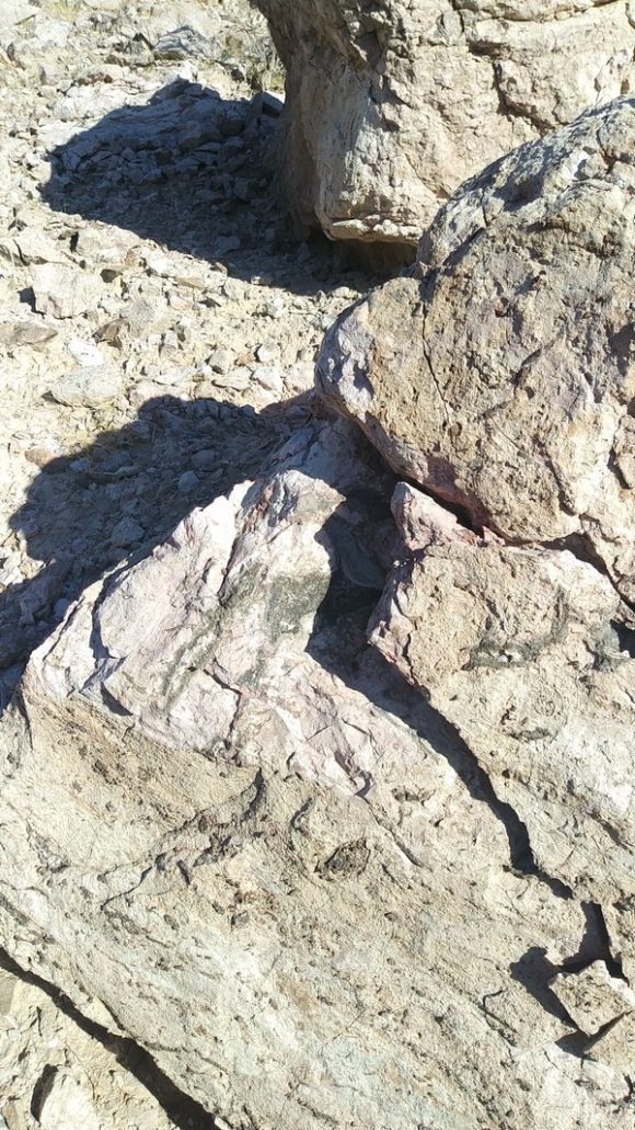 Fossil Bearing Matrix of Typha, Cattail reed fossils. They have been silicated and contain colorful jasper and quartz crystals. 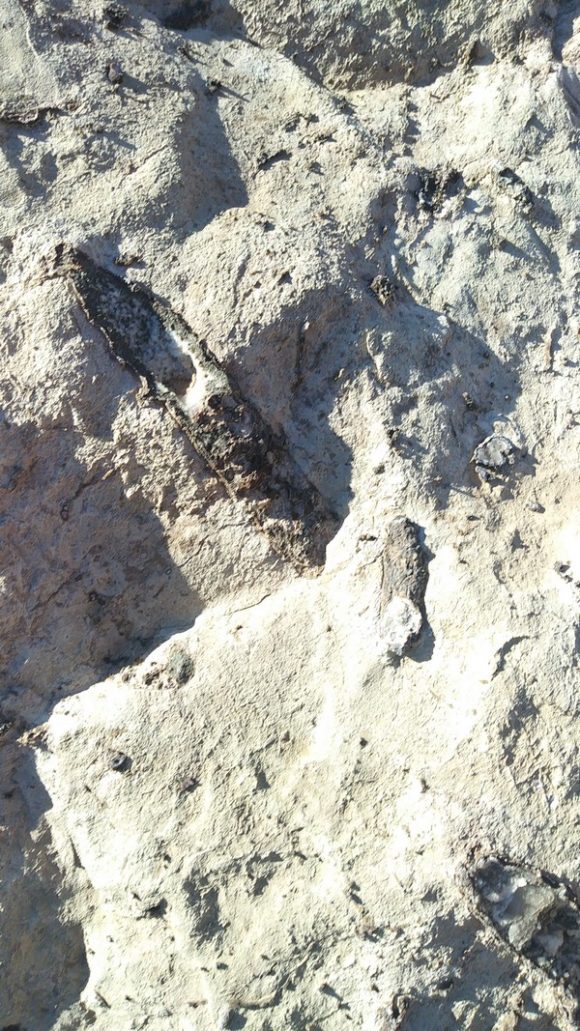 Cattail or Typha, fossilized and replaced with a core of quartz crystals. You can see two of them in the center of this photo. 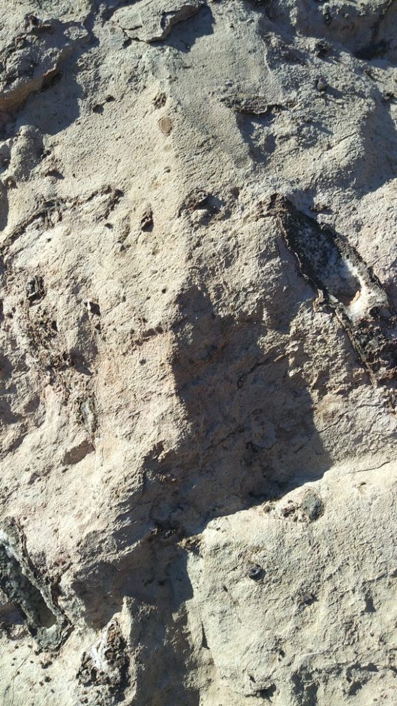 Hollow casts of Cattail fossils found in Pyramid Canyon From the cattail fossil site, there is a road that takes you Westward towards the Basin Road area via a DEEP dip Southwards via Baxter Wash. Just a short distance West on this road and a faint turn off will be visible on the North side of the road. This turn off leads you to the start of the Fluorite prospects.

|
If you like this article, check out the 28 page full color field guide “Rockhound Barstow” for sale online at the following links
Buy it on eBay
Order it on Amazon, or Buy it for Kindle eBook Readers
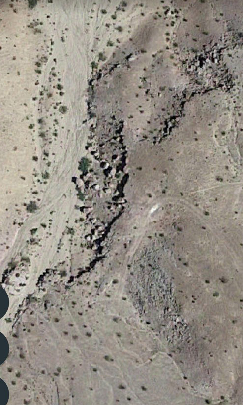 The Boulders to the side of the wash contain numerous fossils of Cattail reeds. Note the faint road to the side. This road is navigable from Basin Road. 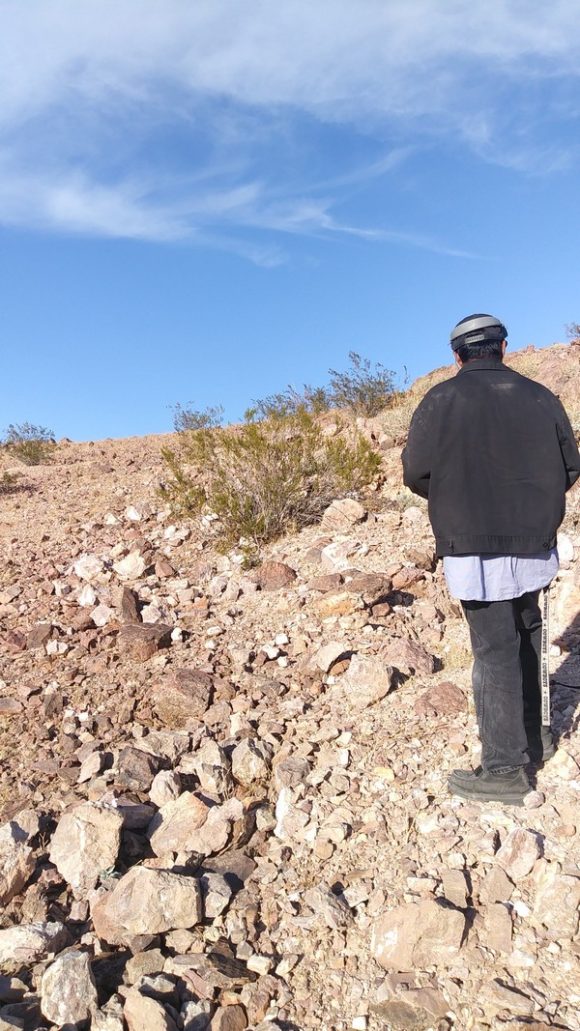 After 2.7 miles of hiking, we found the start of the Fluorite deposits of Cady Mountains. The area is quite long, up to a mile of prospects dart the hillside. The fluorite found here is green and purple and requires some real work to move hard rock and discover undamaged crystals that have not been hit by the sun. The sunlight turns these green crystals to a bleached white, as with most fluorites. Even with the sunbleached specimens, the UV reaction on these is amazing, LW, the most common type of inexpensive UV light source, makes this material GLOW!
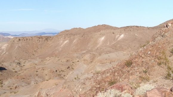 The white areas in the distance are all prospects for Fluorite. The deposit spans nearly a mile in distance. 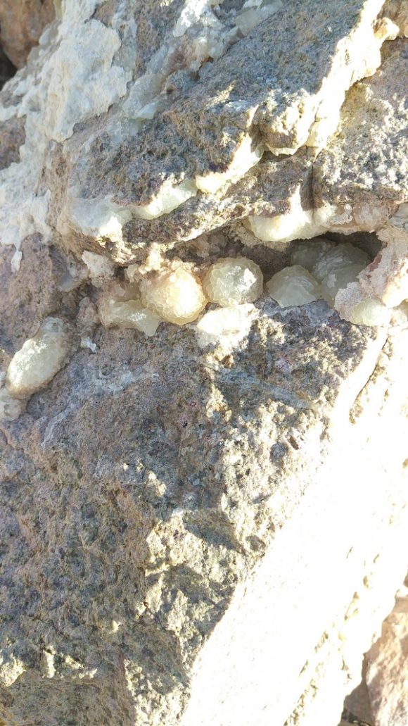 Crystals of Fluorite hidden away inside a pocket on a boulder at one of the many prospects for Fluorite in the Headwaters of Pyramid Canyon. 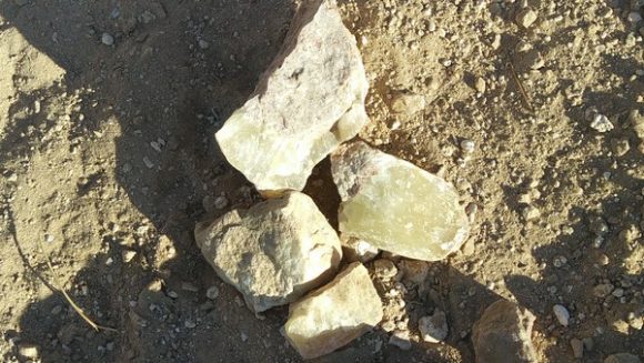 A few specimens of Fluorite we found as we were looking for the Afton Fluorite Deposits. 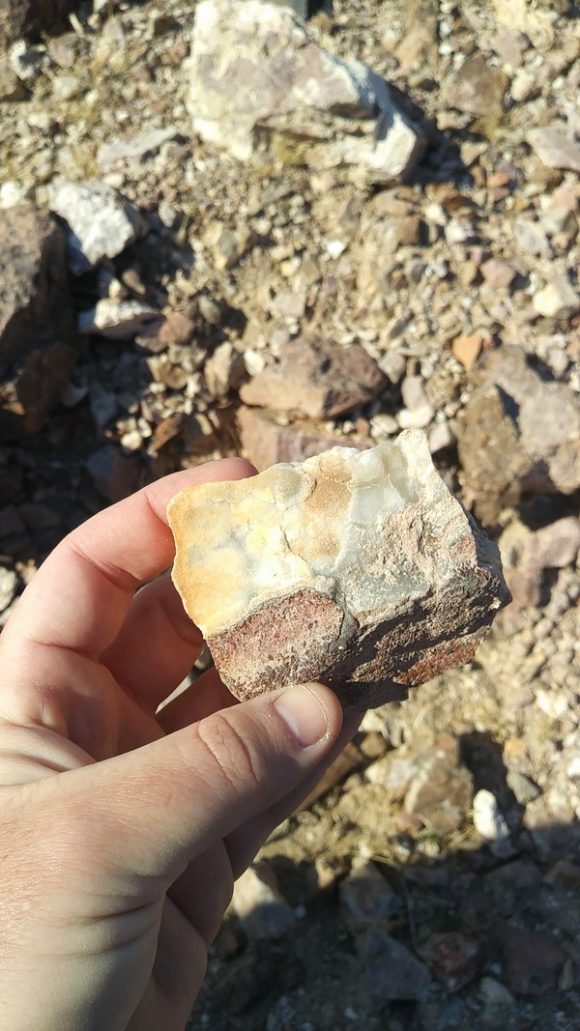 Skin of Green Fluorite on Matrix 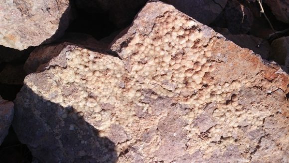 Spheres of Fluorite on Matrix. Originally Green, faded in years of sunlight. As you can see from these photos, hard work and tools are required to unearth new, colorful specimens. After learning about the historical mixup on the true location of this deposit, we hightailed it to the location and hiked the 2.8 miles of washes, switchbacks, trails and amazing scenery that if you are near this area, you really should come and see. We had to hurry and hike back out just as quickly so we could get out before nightfall. While we did not uncover any amazingly bright green crystals, we did not dig, we just examined what we found on the ground and in the ground at the prospect holes around the area. It takes about 1 hour to walk from the campground to the “Mixing Bowl” waterfall in the upper part of Pyramid Canyon. Driving into the area takes about 45 mins to an hour from Basin Road. Walking in you get some serious exercise! Driving in, you can haul a lot of tools. Walking in you really get familiar with the landscape and areas, driving in, you get to business. Either way, the Fluorite deposits 2.8 miles South of Afton Canyon, near the headwaters of Pyramid Canyon, are ready for you to come and visit.
Plenty to see and explore all around this area for those fit enough and respectful enough of our beautiful desert mountains.
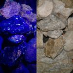
I enjoy seeing rocks light up under Short Wave Ultra Violet light, so do millions of other people in the world. It is exciting to see brilliant colors coming from, what commonly is, a not very visually stunning rock. While large exotic crystals can fluoresce, many times it is something drab and visually unappealing that shows brilliant reaction to “black light”. As the field trip leader for an active group of rock hounds, my monthly trip for February of 2017 was to the area known for brightly fluorescent rocks in the Shadow Mountains, just West of highway 395, in the high desert of Southern California. 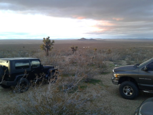 Every month we lead a field trip for the Mining Supplies and Rock Shop in Hesperia California, visit the shop and join us!  This photo shows the typical rocks found at the Shadow Mountain Tungsten District under normal light and under SW UV light. To start out my planning for this trip, I did a basic Google search for what I thought the name of the mine was, the “Princess Pat Mine”. Google brought up some pages with various bits of information, some photographs, but no real indication of where the mine was specifically located. I then turned my attention to MRDS, as talked about in Rockhounding 101, this site can give me a list of mines, pinpointed on a map, showing what has been found in the area. It was a surprise to see that while there were a dozen or more deposits for Scheelite, the highly UV reactive mineral we were after, none of the mines were called “Princess Pat”. However, looking at the Google map, I noticed the road that takes you right to the majority of the scheelite deposits was called “Princess Pat Mine Road”. In fact, you simply turn west off the 395 onto this unmarked road and go for 5 miles until you hit the collecting area. But, why was I having such a pain finding the “Princess Pat Mine”?
I broke open Pemberton’s “Minerals of California” to find an entry for the Shadow Mountain Tungsten deposits on page 337, where it states “6. In the Shadow Mountains, on the northwest flank of Silver Peak, there are a number of scheelite deposits consolidated as the Just Associates quarries. The scheelite occurs in quartz veins cutting garnet-epidote-quartz tactite.” – however, no mention of the “Princess Pat Mine” – So, could it have been that the name “Princess Pat” was older or newer than this 1983 tome of California minerals? With this, I pulled out the Murdoch and Webb version of “Minerals of California”, 1966 edition, which leaves out the Shadow Mountain tungsten mines from the entries on scheelite in San Bernardino County.
Luck would serve me up a reference to “California journal of mines and geology”, Volume 49, which featured a fantastically in depth article on ore bodies of San Bernardino County, which reads
Just Tungsten Quarries (Just Associates, Princess Pat, Shadow Mountains Mines). Location: sees. 30 and 31, T. 8 N., R. 6 W., S.B.M., on
the northwest flank of Silver Peak, Shadow Mountains, about 13 airline miles west of Helendale and 14 airline miles northwest of Adelanto.
Ownership : Just Associates, E. Richard Just and Oliver P. Adams, 726
Story Building, Los Angeles, California, own unpatented claims totaling 440 acres. The property is leased to Just Tungsten Quarries, E.
Richard Just and associates, 726 Story Building, Los Angeles, California.
The deposit, now known as the Just Tungsten Quarries, was discovered in 1937. Operations from late 1937 to early 1938 by the Shadow
Mountains Tungsten Mines and W. A. Trout and C. A. Rasmussen re-
sulted in the recovery of about 750 units of W0 3 from nearly 3000 tons
of selected ore treated in a 40-ton mill on the property. The operation
was not successful and the mill was dismantled. During the mid-1940 ‘s
lessees mined about 400 tons of ore, and during the late 1940 ‘s the
Princess Pat Mining Company leased the property but apparently produced no ore. Operations from April 1952 to mid-1952 have yielded a
few hundred tons of ore of undisclosed grade.
The scheelite occurs in quartz veins cutting garnet-epidote-quartz
tactite bodies which exist at the contact between a Mesozoic granitic
rock and Paleozoic ( ?) metamorphic rocks, mostly impure limestone and
schist. The foliated rocks strike slightly north of east and dip gently
south. Scheelite-bearing tactite also has been developed, away from the
contact, along beds in the limestone, to form thin bodies of ore separated by barren limestone beds.
The deposit was explored during 1937-38 by 1800 feet of zig-zag
trenches, 10 feet wide and 6 to 10 feet deep, excavated by a power shovel
up a moderate slope in a southwesterly direction. A 65-foot vertical shaft
was sunk near the lower end of this trench system, but no mining was
done underground.
Employed in the early prospecting was a large field-type lamp requiring a 110-volt current, and a portable gasoline-powered motor generator set. This may have been the first practical application of a lamp
of this type.
Ore is being mined from a bench cutting into a trenched area about
50 feet north of the shaft. Mining operations are carried on at night,
and the ore is sorted with the aid of ultra-violet light. Shipments have
been made to both the Jaylite and Parker custom mills in Barstow.
There you go, the “Princess Pat Mine” has the distinction of being a mine that produced no ore.
As it was, the tungsten mines produced little more than some naming confusions and quite possibly some bad debt, as the scheelite riches would never quite materialize from this deposit. Tungsten is an element that was listed by the United States Government as a strategic reserve, as most of our Tungsten comes from China, during WWII it was known that it would be scarce, so efforts were made to ensure production could be met at home. Plenty of trenches and tunnels were driven in this 140 acre unpatented claim, in the end, producing nothing more than a playground for collectors with an UV light.
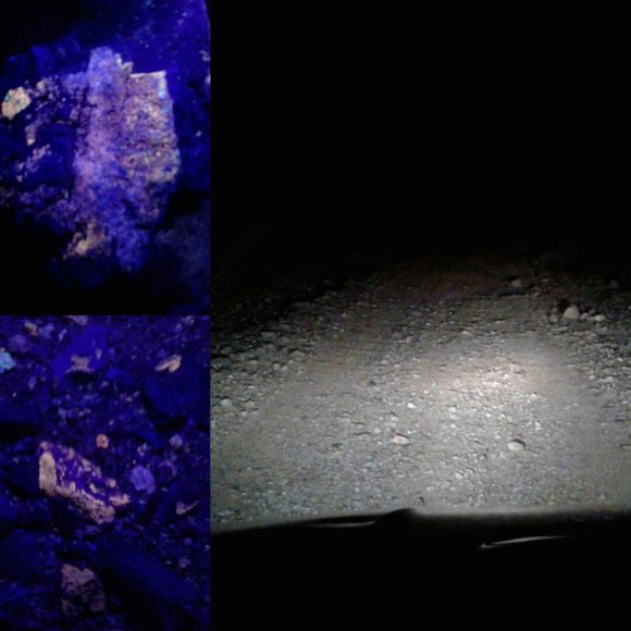 The mostly smooth desert road is littered with rocks that glow under SW UV light There is often a little confusion as to what kind of Ultra-violet light one needs to get the enjoyment out of collecting UV minerals. I have used many varieties of products and I’ve found what I like and what I do not like. Obviously, a light with ample power is what one wants. Small hand held units are commonly available in 6 watt and under, which gives you a reaction when you hold the light VERY close to the specimen. However, the difference between a low wattage light and something in the 9, 18, or even, 36 watts will astonish every viewer. If you want maximum enjoyment out of UV collecting, a dual wave 18 watt light is a sound investment. Some minerals glow under Long Wave (365nm) range, but honestly, I find Long Wave to be the most limited, while Short Wave (285nm), produces amazing effects. When it comes to companies, well, some come and some go, while some are longstanding companies that I do not personally enjoy, when it comes to price vs. what you get, so, I would like to steer you in the right direction. At this time, in winter of 2017, there are no good companies to purchase a UV light from on Amazon.com. In fact, I would push you in two directions. #1, UVTools.com – They have been producing some fine lights, which come accompanied by a great informative kit. I highly recommend all the units they sell, even the sub-9 watt lights. #2, on eBay, the seller topazminer_minerals_and_fossils has been having great deals on a fine selection of high powered lights, at very reasonable prices. I would suggest viewing their offerings when looking for a great UV light.

|
If you like this article, check out the 28 page full color field guide “Rockhound Barstow” for sale online at the following links, now including the Princess Pat Mine Area, indepth!
Buy it on eBay
Order it on Amazon, or Buy it for Kindle eBook Readers
As part of the field trip series that I lead for the Mining Supplies and Rock Shop in Hesperia California, we took a trip out to the “Princess Pat Mine” area, or, as it should be known, the Just Associates Tungsten area, or, even still, the Shadow Mountain Tungsten area. You simply follow Princess Pat Mine road from highway 395 for 5 miles and you will find yourself facing the various prospect pits and trenches filled with cobbles and boulders of mostly white rocks that will glow readily under short wave light. You will see bright orange from the potassium rich calcite caliche, you’ll see bright green from the uranium included quartz. The bright white/blue scheelite is the real winner, appearing as belts of star-like dots in the rocky background. Rarely, one can find bright red from the wollastonite found in the area.
 We have lead field trips for various groups and organizations 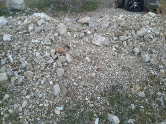 This pile of ore rubble was waiting for us at the parking area 1/10th of a mile from the start of the major trenching. This pile of rocks glows brightly if you do not wish to go into the rocky tailings beyond. A group of about 30 of us descended on the mine area around 5pm, getting a view of the area before the sun set, by 6pm we were ready to see some rocks glow! Many of us came equipped with various powered UV lights. Some of the inexpensive LED Longwave lights were causing the calcite to glow a slight pinkish, but that was all, while the Shortwave lights were causing the whole area to light up. Everything around the area was glowing light wild, which lead to lots of happy rockhounds and many people remarking that they could not wait to come back and bring friends to show this wonderful area to. In this lonely desert, with no lights besides the moon and the stars, one can get some amazing results with a short wave ultra-violet light!
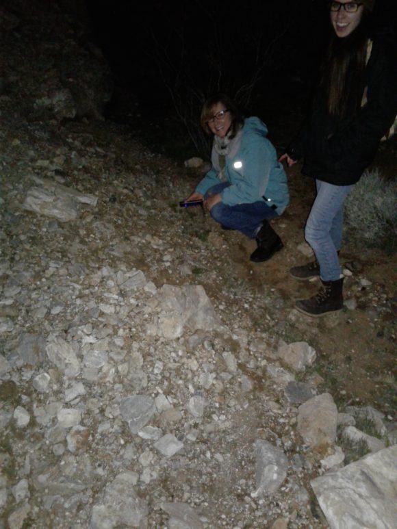 There were plenty of trenches pushed into the mountain which make great areas to illuminate the walls in search of black light rocks 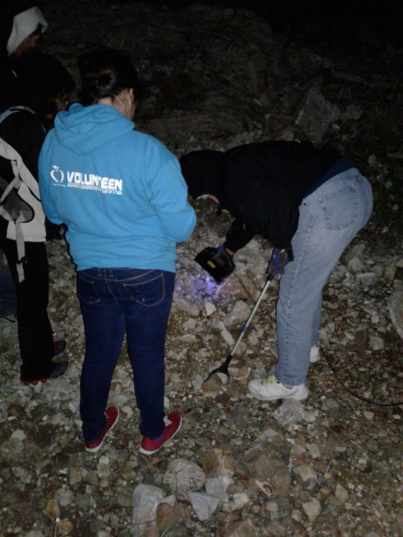 In the dark, scanning for rocks that react to SW Ultra Violet Light is a blast! 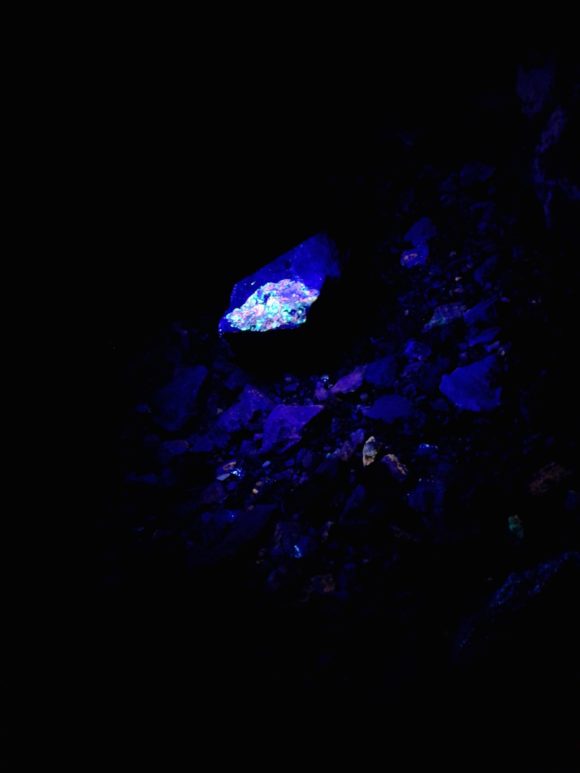 Here is a rock responding to SW UV light on the mine dump at the Princess Pat Mine/Just Associates Mine So, go out and enjoy a day or night at the Shadow Mountain Tungsten District. There are no active claims, there is no ore of worth, it is just you and the coyotes, howling at the moon and looking down at the twinkling scheelite stars…
 Check out the new expanded Rockhound Barstow, in full color and larger size! UPDATED 3rd Edition Released August 2020 – Get it now direct on a PayPal link, or check it out on Amazon, eBay and Etsy
The Mojave desert is a mineralogically rich area. One small town of less than 30,000 people serves as a great jumping off point for dozens of fantastic collecting sites. Many of these locations are Southern California classics, found in field guides dating to the early 1940’s and surprisingly, still producing to this day. The Cady Mountains are an endless source of material. You can be sure that enough time spent in the loving folds of the Cady mountains will reveal some mind blowing treasures to the lapidarist.
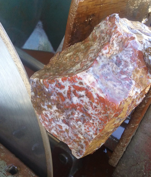 Top Notch Agate being cut into slabs. The Cady Mountains produce beautiful treasures you’ll love working with! 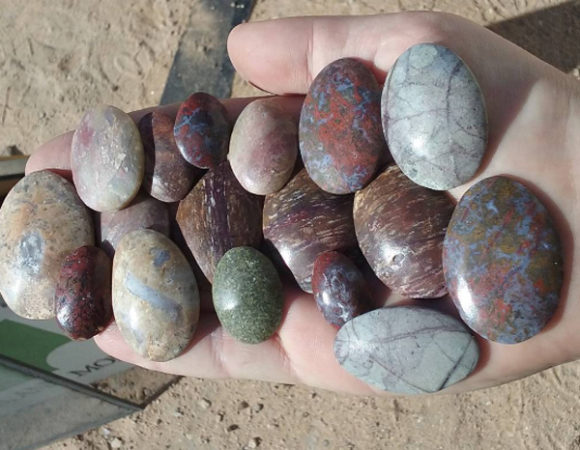 A sampling of cabochons made from material found in the Cady and Alvord Mountains Just a few miles outside of Barstow you hit the Calico Mountains with a vast silver district, an amazing series of borate deposits, celestite for days, tons and tons of fine selenite and ample supplies of petrified palm root just pouring out of the hills…and silver lace onyx and calcite concretions that can have celestite and quartz replaced spiders and flies inside! That is just the things you can find in a small mountain range just four miles north of highway 15!
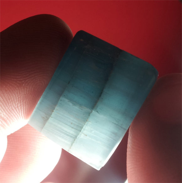 Polished Celestite from one of the many celestite deposits found along with the Borates of the Calico Mountains  Gem crystal clusters of Colemanite are found in the Calico Mountains, ready to come home with you!  Colemanite glows bright in Short Wave Ultra Violet Light, like MANY of the minerals found in the area. One of the reasons Barstow is such a great starting point for rockhounding in this area is the prime location. Just 2 hours north-east of Los Angeles and 2 hours south-west of Las Vegas, this town has most everything you need for traveling in this area. Gas, groceries, hotels, restaurants, even the Diamond Pacific Rock Shop, attached to the Diamond Pacific Lapidary Equipment factory. Emergency services, like tire and vehicle repair can be found in Barstow so that even in the worst of conditions, there is somewhere “local” to take care of any problems. Convenience is what Barstow provides and there is no reason why that is not a good thing!

|
Buy it on eBay
Order it on Amazon, or Buy it for Kindle eBook Readers
Who better to write and produce this Barstow rockhound field guide than the field trip leaders, Justin and Brandy Zzyzx – locals to the area and avid rockhounds, each of the locations in Rockhounding Barstow have been visited by Justin and Brandy. Justin wrote the text and Brandy designed the maps, as you can see in the sample below.
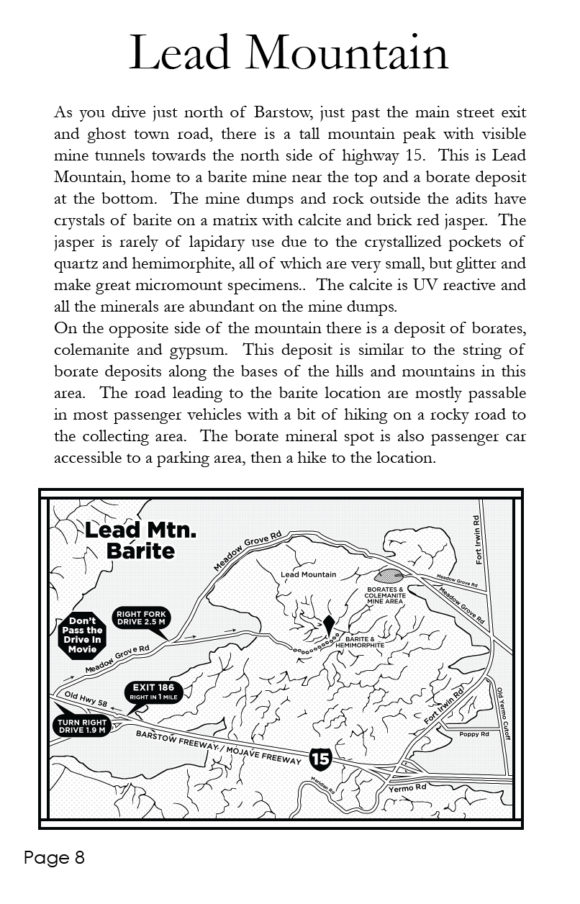 Sample page from the Rockhound Barstow Field Guide – Lead Mountain, just a couple miles from highway 15, a great place to visit and collect colorful crystals! Many of the locations have been written about before, while some of them are being published in this field guide for the very first time. One of the locations that is very exciting is the North Cady Mountain collecting, including the Top Notch claim, prospected by Bill Depue and John Pickett, of Diamond Pacific. This spot has been producing some really lovely material, bright red, golden siderite, fortification and banding of clear and lavender agate. Oh, a day collecting here just can not be beat! You are going to get directions to this very spot and over 30 more locations, just waiting for you to come visit.
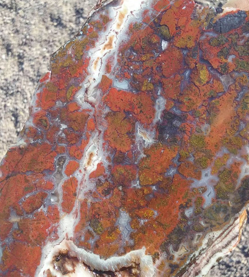 Bright Red and Golden Top Notch Agate from the North Cady Mountains, featured in the Rockhound Barstow Field Guide 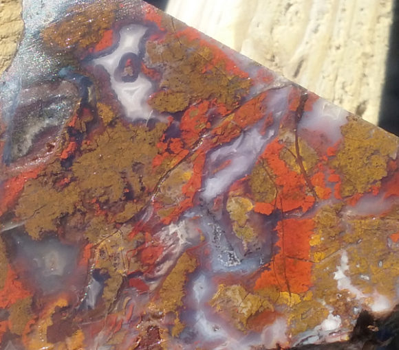 Siderite is not a common inclusion in agates so it is a welcome site to see this material, rich with gold and red along with beautiful gel agate from the North Cady Mountains Another interesting feature is the interactive rockhound map provided in the guide. Simply type in the website address and on your phone google maps will open up and you’ll be provided with a pinpointed map featuring all the locations in the book PLUS additional locations, each of them showing you EXACTLY where to collect. Most of the locations in the books will have cell phone service, allowing you to use the interactive google map as a guided satellite directly to the collecting location. Truly a first in terms of mineral collecting field guides!
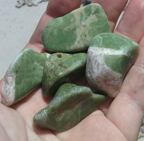 This fun “Nickel Quartz” comes from the North Calico Mountains Nickel Quartz, Wollastonite, Garnet, and so much more await you, with new locations added occasionally. By now I’m sure you are chomping at the bit to find out how to get your copy of this booklet. This digest sized field guide, with a color cover, color photographs of what you can expect to find, over 20 collecting locations, all this can be yours for $14.99 plus shipping and handling! That’s right, just $14.99 plus shipping gets you a fountain of information, right at your fingertips!
Simply use PayPal to order directly by Credit Card or your PayPal account or purchase a copy from Amazon, Etsy or eBay.
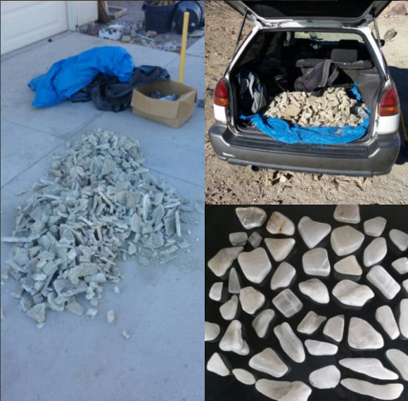 The abundant Gypsum/Selenite in the Calico Mountains is great for tumbling, polishing, carving and collecting. We use it as a water softener. 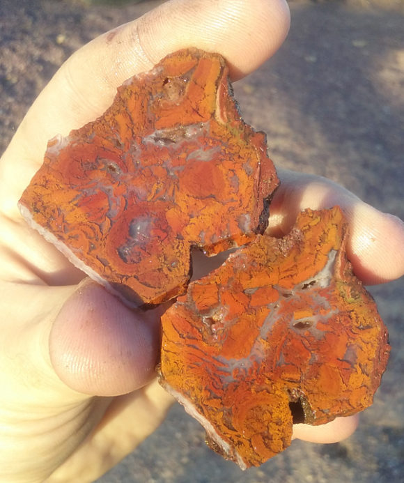 The Lavic Sidling Jasper location is not just limited to the classic areas, but also spilling out to the West and North of Pisgah Crater, as you’ll see in the Rockhounding Barstow Booklet 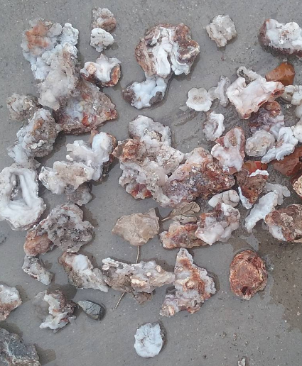 Chalcedony Roses are very abundant out in the Mojave Desert
What do you do when you’re in Tucson at the Gem and Mineral Show on the Friday, when the show is full of school children and you really don’t want to have to be there dealing with them all? Simple. You go collecting. But you need to be back at the show by mid-afternoon? No problem. Let’s hire a helicopter!
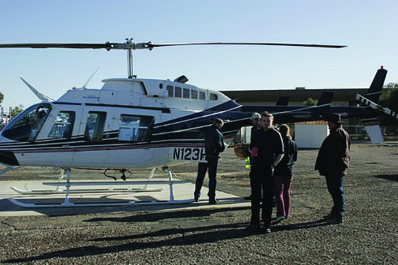 The Crew loading into the helicopter in search of Arizona treasures At the TGMS show in 2009, several of the regulars from the mindat.org online chat room got together to organize just such a trip. The late Roy Lee was the leader of this trip, which we were hoping to make an annual event. Sadly he died just one year later, so this has remained so far the only mindat.org helicopter collecting trip.
We boarded the helicopter at Tucson Airport, after some concerns that too many of us were carrying extra weight. And I’m not talking about hand tools. But, the helicopter made it into the sky and we started our flight towards the Catalina Mountains – flying directly over the Davis Monthan Air Force Base and the “boneyard” where all the retired US military aircraft are stored. It was quite alarming to be flying over the main runway as a C-130 transport was making it’s final descent, seemingly flying straight at us at one point. Having survived our encounter with the US Air Force, we headed off towards our first destination – the Grand Reef Mine.
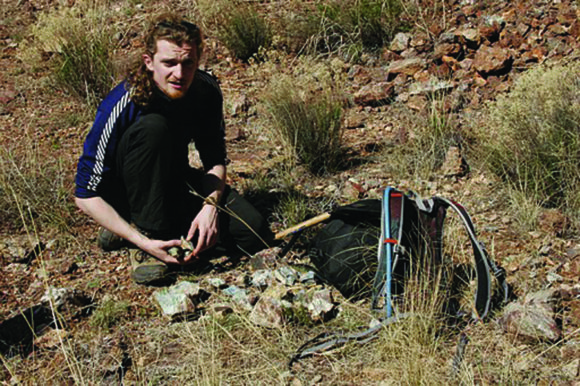 Mike Rumsey collecting specimens without the worry of washed out roads, boulders or rock slides! This mine is notoriously difficult to access, with no nearby access roads. So the luxury of being able to fly right up to it and practically land on it was the stuff that mineral dreams are made of. The Grand Reef Mine is famous for linarite and other rare lead/copper secondary minerals. We spent about 90 minutes exploring the locality, collecting on the extensive dumps and admiring the scenery. Everyone in the party found decent specimens.
But what’s better than flying by helicopter to a great mineral locality before lunchtime? Flying to a second – so after we’d finished at the Grand Reef mine, we headed off again to the Table Mountain Mine – which is well known for dioptase crystals. The helicopter made an impressive landing on an exposed ledge (which happened to be made out of glassy slag from the smelters), and we again disembarked and wandered up to the tips to collect.
We all found nice dioptase specimens, but Jim Beam found a fabulous little ‘christmas tree’ of dioptase crystals, and between us we found specimens of conichalcite with possible austinite and duftite. Some samples appear to have minerals previously unreported from the locality, and once they are confirmed they will be reported on mindat.org.
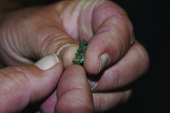 Jim Bean shows off his little christmas tree shaped dioptase cluster collected at the Table Mountain Mine Finally, we boarded the helicopter for the flight back to Tucson Airport and a short drive back to the Convention center, and we were back in the show almost as the last of the school buses full of kids was departing.
Editor Note – Yes, you can get to these locations, with a helicopter, or a lot of hiking. This article was originally published in The-Vug.com Quarterly Magazine, Vol 4, Number 3. You can get the reprinted book on Amazon, or directly from the publisher on MineralMagazines.com
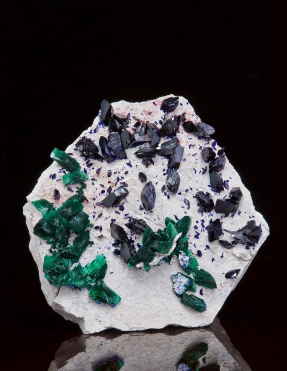 Click this photo and find more amazing mineral photos of mind blowing crystals
Two new mineral shops have opened up on both sides of the continent, in two of the most heavily occupied cities in America. Rock shops are great places to add new beautiful crystals to your collecting, but also to gain knowledge and information. It is certainly helpful to know what minerals look like when you are gearing up for a rock hunt!
In the Los Angeles area, we have a beautiful boutique of crystals in FasanaRock, located near the corner of Foothill Blvd and Myrtle Ave in the foothill city of Monrovia, just a few miles East of Pasadena. FasanaRock is the result of Christina and John Fasana, producing one of the most beautifully designed boutique rock shop! In FasanaRock you will find amazingly colorful and inexpensive tumbled stones from around the world, beautiful and colorful polished crystals, well selected and diverse crystallized minerals, raw crystals and all sorts of educational and decorative items of the natural sciences.
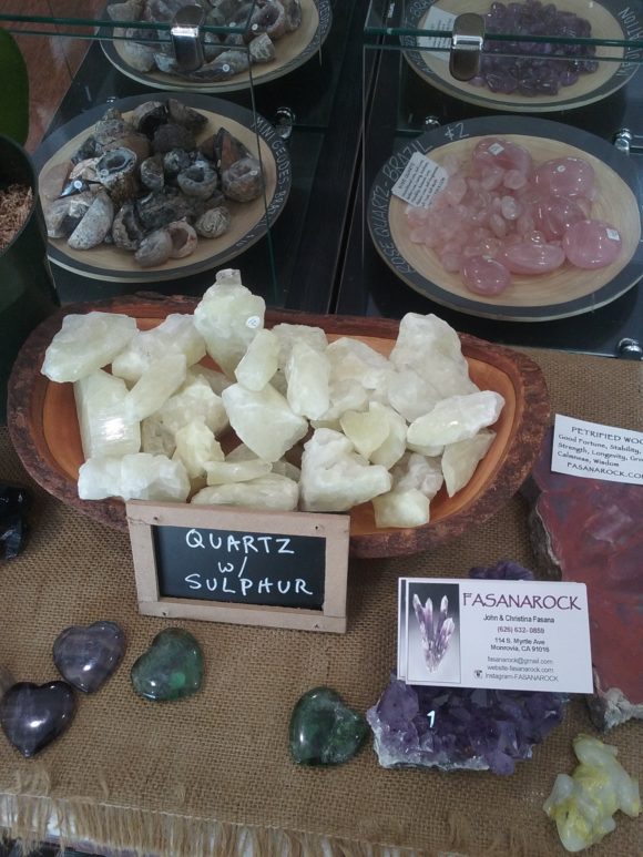 Sulphur Quartz, how Unique! Rub them together and smell ! FasanaRock on 114 South Myrtle Avenue, Monrovia California 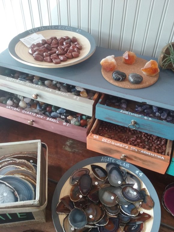 How great is this? Colorful furniture contain drawers full of raw crystal goodies! You can find all sorts of colorful additions to any collecting here! 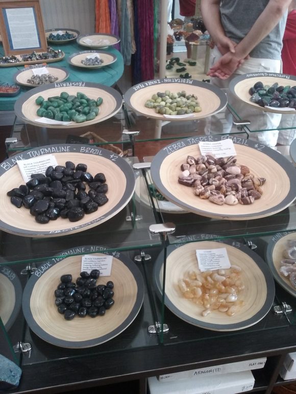 The wooden trays are the perfect way to offer this beautiful selection of tumbled stones! John Fasana has worked for Rock Currier and Jewel Tunnel Imports for decades, making his knowledge of stones known in the fine selection at the shop.
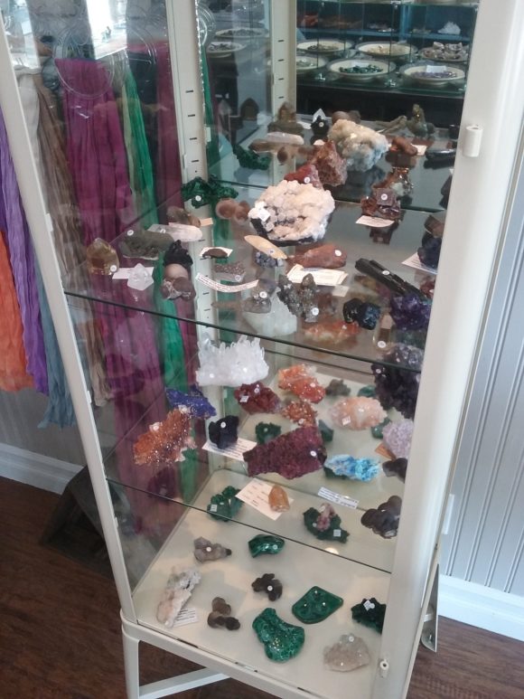 Great selections of mineral specimens at very fair prices! Christina Fasana has outdone herself with the store decor, incorporating thoughtful and functional design elements into the presentation of the stones. Along with their family, the Fasana’s have put a lot of heart and soul into this new mineral shop and it is well worth your time to visit it if you are in the Los Angeles Area – Check them out online at their website http://fasanarock.com/ and on Facebook and Instagram
FasanaRock carries Gem Hunt, educational gemstone dig kit – a perfect gift item for christmas!
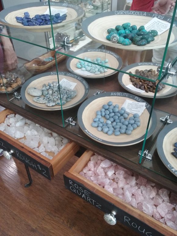 A store that can provide beautiful minerals and stones at very fair prices, centrally located in the foothill community, FasanaRock is well worth a visit! In New York City, an off-shoot of Astro Gallery of Gems, we have Astro West, a store with all the things you know and love about Astro Gallery, with cases of fine minerals, beautiful fossils, and a diverse section devoted to educational natural science kits and interactive crystal features like “crack your own geode” in a sleek looking geode cracking machine.
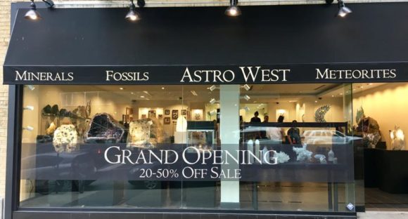 Astro West – A great place to visit in the Upper West Side New York City 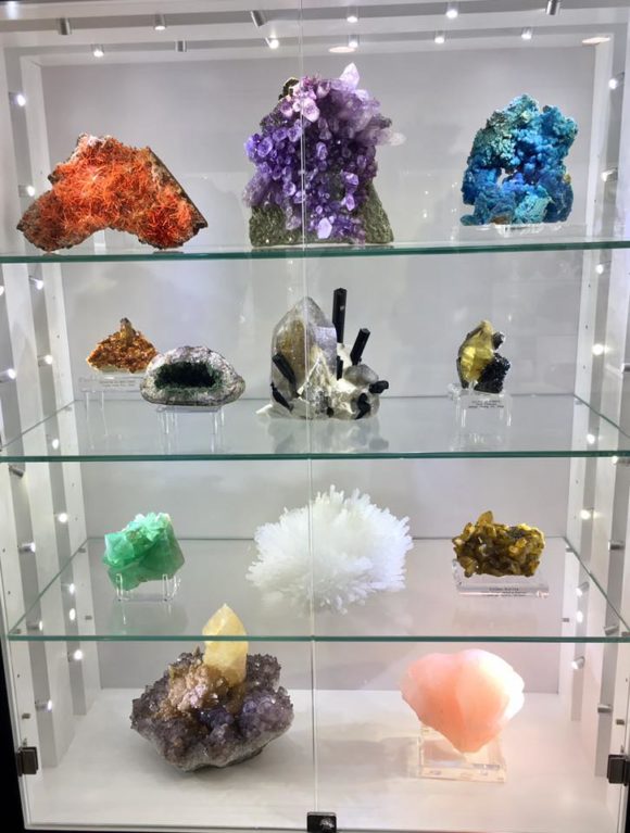 Beautiful Crystals line the cases, ready to be wrapped up and taken home! 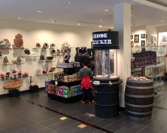 The Geode Cracker is fun for all ages and the educational kits are selected for everyone who loves rocks, fossils and natural science! You can find Astro West online at AstroWest.com and also, find them on facebook at https://www.facebook.com/Astroweststore
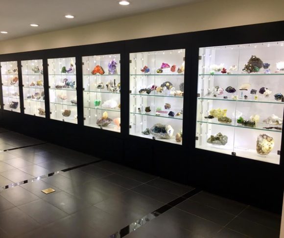 It is easy to see why AstroGallery is known for beautiful crystals, all over New York City, now you have two locations to visit! Check out the website FindARockShop.com for rock shops in your area and as always, thank you for visiting WhereToFindRocks.com!
Article and Photos by Paul Cyr- eonphader@hotmail.com
New Jersey is no stranger to geological anomaly. Most American rockhounds are familiar with the fluorescent minerals of Franklin and Sterling Hill, and thousands of people from around the globe have graced their collection cabinets with prehnite and other traprock minerals of the Watchung mountains, giving a classic “old school” scientific feel to that shelf of the display. New Jersey has also produced its fair share of paleontological specimens, including many holotypes and species completely new to science. Some of the most interesting finds include gem grade amber with insect inclusions from the Sayreville and Cliffwood Beach areas.
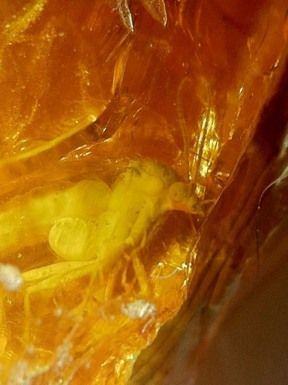 Insect inclusion in a large polished piece of Sayreville amber collected December 3, 1995. FOV 7mm. The amber occurs within the lignite peat layer above the deep deposits of the South Amboy Fire Clay. The New Jersey amber is the oldest in the Americas with insect inclusions. From this amber, researchers have discovered several new species of ants, including the oldest ones ever documented, giving new branches in the evolutionary line of ants. According to a paper by the American Museum of Natural History researchers, there are a dozen or more amber producing localities in and around Sayreville, but here will will focus on one. In the 1990’s, this locality was monitored by the research department of the AMNH. This study accumulated hundreds of pounds of amber from the Sayreville area, including thousands of specimens with insect inclusions. This was a part of a grand study involving insects included in amber from all over the world. Through this research, many new species of insects were added to taxonomy. Did we mention there is pyrite too?
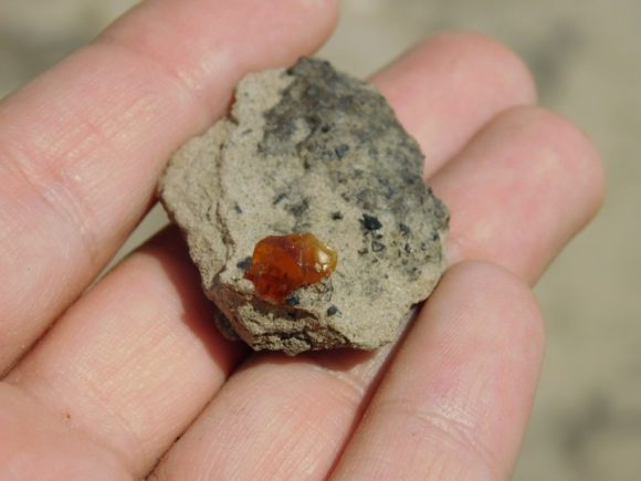 A nice sized piece of gem amber on clay matrix, with lignite. Fresh harvest. 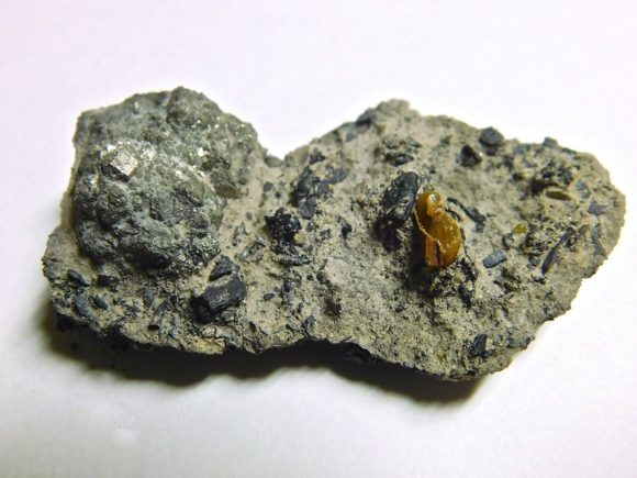 The Good, The Bad and The Ugly: Amber, Pyrite and Lignite in one specimen. With some careful transport tactics, examples like this can be preserved.
You can find the author Paul, along with the website owner, Justin Zzyzx, at the Edison New Jersey Mineral Show – April 7-9th 2017 It is a CAN NOT MISS Event- Click the Banner and sign up for the mailing list for more information!

For tools, it is recommended to bring various shovels, picks, small metal rakes, and other digging and scraping apparatus. The porous, but thick and sandy clay behaves differently depending on how wet it is, so you may want to try a few different tools to figure out what works for you. Bring a small plastic vial or jar to keep your amber isolated and safe.
If you have nothing else, a nearly empty plastic water bottle with a bit of liquid left in it will keep your amber safe, and clean it up a bit too.
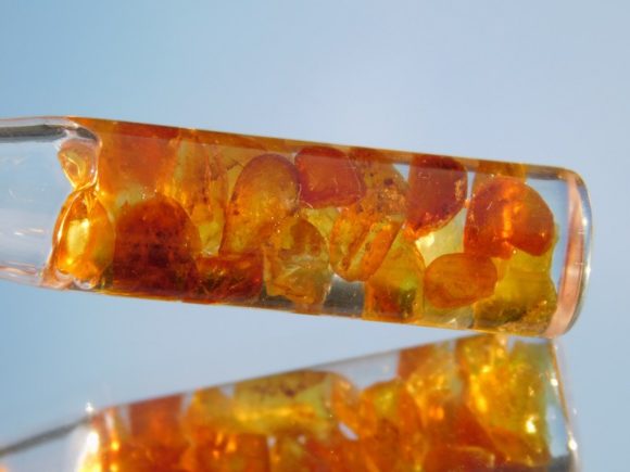 Fully prepared, gem grade amber pendant shows off a warm glow in sunlight. In my experience, most of the pyrite is found on the surface, and appears to form due to the iron and sulfur nucleating in the center of the puddles in the cracked clay mud. The pyrite is mostly unstable, and will quickly lose its luster and begin to disintegrate if special precautions are not taken. The main key is to keep it completely dry. I have heard that putting it in a cool oven can help remove all moisture. I have used 3-in1 oil to give them a day dip, and take them out to dry. After the pyrite nodule is dry, apply a few layers of spray acrylic. Unfortunately, only a few of my specimens have held up to this point, but they are unique items in our inventory. Some post-pyrite secondaries seem to be found in microcrystals on some of the pyrites as they alter in the weather. Melanterite and jarosite may be present. More research needs to be done on the pyrite alteration at this locality.
 No pyrite in the tire, I checked. The amber can be founded in small rounded grains along the surface. If you are looking for the large pieces with insect inclusions, you’ll have to dig. The lignite layer is a few feet down (I have heard anywhere from 4 to 9 feet subsurface). Lignite is the precursor to coal, and looks almost exactly like burnt wood. When you get down to this level, you are on the right track. In and around the lignite, you should be able to find evidence of amber soon enough. A nice sized piece with an insect inclusion could be the reward for your hard work.
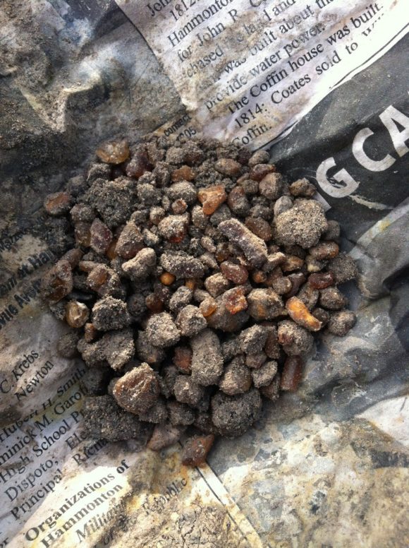 Fresh amber in the field. 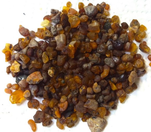 Same pile of amber after first cleaning. 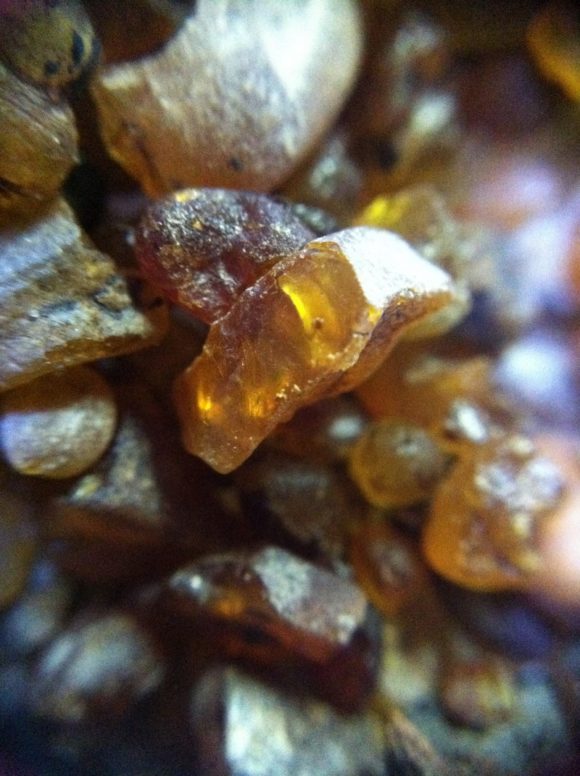 Closeup of the amber. Plant matter within the amber has been found to be in the juniper family. The lignite peat deposits were probably formed by ancient coastal cedar swamps. The age of this amber has been recorded from 90-92 million years old, in the midst of the Cretaceous Period. Amazing that something so fragile can still exist! This is one of, if not the ONLY locality that produces amber from the same time as the dinosaurs. If Jurassic Park was to happen, we would be thanking New Jersey amber for the DNA. Some of the forms are stalactitic, showing evidence of where it dripped from the tree. It is remarkable to find such objects. Some of the amber is opaque and looks like tan to brown wood opal, with similar luster and conchoidal fracture. The amber ranges from a yellow-hued honey color to a rich cherry red, and can also be brown. It is transparent when wet or polished, making for a beautiful finished product when worked. One gentleman has told me that if you have a big and stable enough piece, it can be polished with a toothbrush and toothpaste- but it takes quite a while. I have a specimen he polished this way in my personal collection. It is almost an inch tall and has a distinct and complete winged insect inclusion. It is one of the treasures of my New Jersey collection.
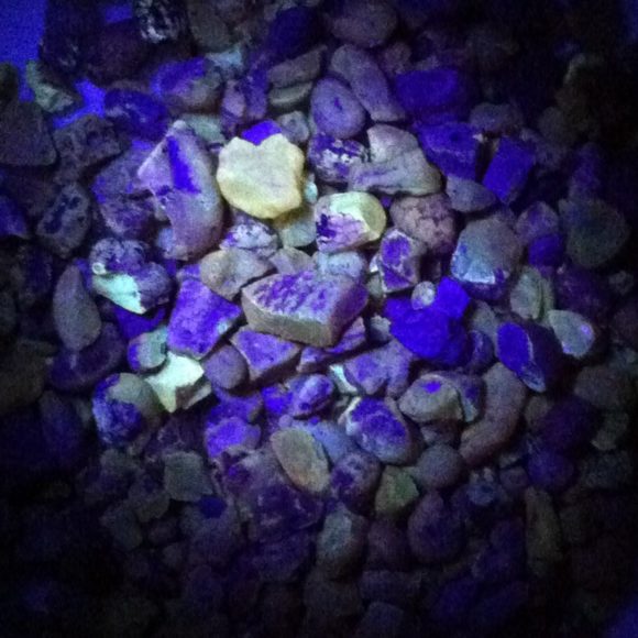 It’s fluorescent. Most of the amber glows brightly in standard longwave UV light. To get there, plug in Lakeview Drive Sayreville, NJ into your GPS. When you get on this road, you will be in an apartment complex. Keep following to the end of the road, and park in the little cul-de-sac conveniently located at the trail head. The trail may look enticing, but avoid it unless you plan on exploring for possible separate amber pits. On the left side of the path, climb up the hill right next to the parking area and cross the railroad tracks. You’ll come to the other side where there is a trail. Make a left onto the trail, soon the terrain will flatten. Walk a few hundred feet down, and look for a dip in the brush on the right side. It is crude getting in to the pits, and ticks can be plentiful- use caution.
 The Railroad to Amber. Cross over here. Beware of trains. Ramble through the deer trails- a shovel or sifter can act as a shield through the thicket. Out in this stretch of bush you’ll reach the mud pits, dotted with amber and pyrite to the discerning eye. You may want to check a satellite view on Google Earth for a precise look at the field.
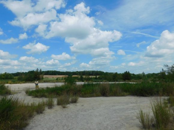 You’ve made it. Welcome to the locality. 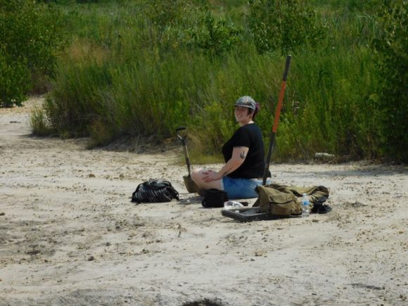 A happy amber collector enjoying the ancient fruits of the labor.  This locality is known for its aesthetic cracked mud. For lunch, I recommend White Castle in Parlin- new veggie burgers are delish! Good luck, and email me if you find anything substantial! Paul Cyr- eonphader@hotmail.com – you can also find Paul and his minerals for sale on Facebook – at the Deep Seeded Trading Post
This video will give you a visual idea of what to expect at the location
Collect Amber and Pyrite in Sayreville New Jersey created by Justin Zzyzx in 2005, now hosted on Vimeo.
Again, don’t forget to sign up for the mailing list for this great rock and mineral show in Edison New Jersey, one of the biggest shows in the United States!

Every year we look forward to visiting one of the most beautiful places in the world, the San Rafael Swell, a series of sandstone, shale and limestone that has been worn down by erosion by water, air and time.
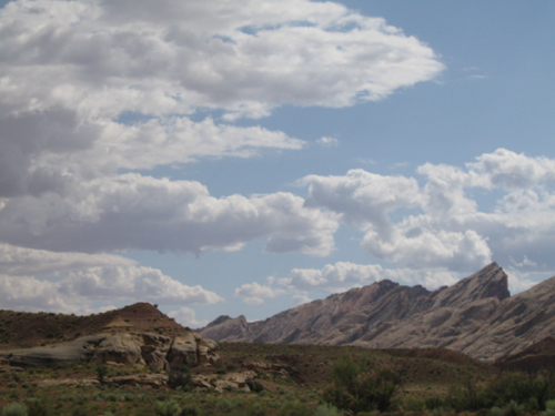 A group of rain clouds hangs in the air above the dramatic rock formations of the San Rafael Swell One of the best things is that the collecting locations are fairly close to highway 70, a road we travel every year in order to go back and forth from California to Colorado for the annual Denver Mineral Show, which is taking place as I type this.
For rockhounds and lapidary artists, the bountiful red/yellow jasper found in this area is worth stopping for. The jasper nuggets are found with a bubbly rind, colors caused by iron oxides, accepting a fine polish.
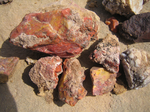 Red and Yellow Jasper with a bubbly rind, found near interstate 70 in central Utah. 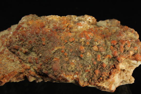 Bubbly Red Jasper Rind on a Crystal Filled Geode There are several areas to collect jasper, as you can see on this map, the two main areas are directly south of I-70, both accessible with a standard passenger vehicle. The first location is just north of a dirt road you enter heading West, .7 mile from the exit on route 24. The next location is on a dirt road heading east 4.2 miles from I-70, or 3.5 miles from the first dirt road.
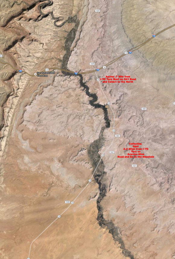 Two Jasper locations off highway 24, just south of interstate 70 The exciting thing to find while out looking for jasper are thin walled geodes with crystals of celestite, calcite and quartz inside. By gently splitting along the cracks in the walls of the geodes, you can find bright blue crystals of celestite, up to 4.5 cm, along with calcite in various forms and colors and druzy quartz, sometimes with an amethystine color.
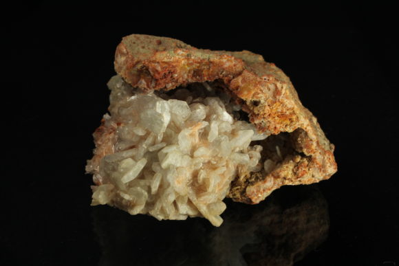 Celestite Crystals inside a geode of Red Jasper 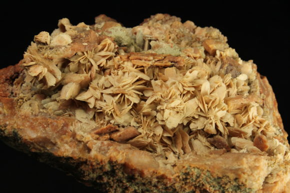 Thin blades of Calcite forming on the inside of a red jasper geode The geodes are created due to the fact that they were originally filled with anhydrite, which then dissolved, mixed along with the marine sediments, giving the proper environment for celestite to form. The celestite in this area used to be mined commercially back when celestite was in demand. Now, there is very little demand for the raw material, which can be sourced very cheaply from sources around the world. The celesite is now mined for mineral specimens, sporadically.
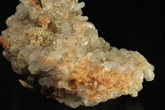 Orange Calcite crystals with Blue Celestite crystals from the Swell 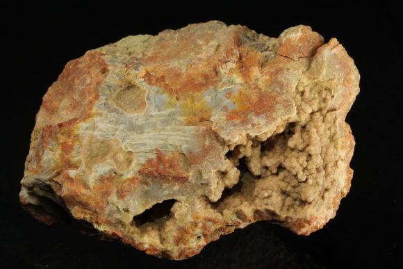 Gray sparkling Quartz in a Jasper Nodule When looking for these jasper geodes, you can often tell if there are crystals inside by the weight. Be careful not to shake the geodes violently, as loose crystals can smack into the crystals attached on the matrix. You most certainly do not want to smash these geodes open with a hammer, you can typically find a crack or fissure in the wall and pry it open with a screwdriver.
Utah is a beautiful place. This remote, yet, heavily traveled, area of the world, is a perfect reason to stop and stretch your legs! I hope you enjoy a trip to this area at least once in your life!
 Cover of the Rocks and Minerals issue with a very well written article about the Celestite Geodes of The San Rafael Swell. We highly suggest this issue of Rocks & Minerals photographed above. Rocks & Minerals is well worth subscribing to, they are one of the best mineral magazines ever printed.

Rockhounding is a great hobby, rewarding and full of adventure. Few people know that to progress in knowledge about this hobby is easy as can be, it just take a little bit of reading and we have the perfect selection of books to talk about today, ones that will give you a full understanding of minerals.
All of these books were written by Captain John Sinkankas, a well noted and respected author who has a way of explaining things that many thousands of people have enjoyed and understood.
The most important thing about this article is the perception of mineral information, versus the reality. Guidebooks like the National Audubon Society Field Guide to North American Rocks or the handy Smithsonian Handbook, well, they just do not do a good enough job, in our opinion. Sure, they are colorful and glossy, most starting collectors will have one or the other at some point in their life. However, if you have more than just a passing curiosity about rocks and minerals, there is a better way.
 John Sinkanas’ book “Mineralogy” is our #1 pick for must have mineral books
Mineralogy is the #1 book that we recommend to all mineral enthusiasts. The writer, John Sinkankas, has an easy way of explaining how atoms form crystals, and why the crystals different properties make them look different from each other. It is technical mineralogy explained in a way that most anyone can understand. The book can be treated as a college level book on the subject, yet, can be enjoyed casually with chapters devoted to different topics including over 300 photographs and line drawings, this is the must have book for everyone interested in the subject. You can find this book on Amazon and eBay. It was originally published in the 1960’s, any edition is worth owning. You will find it as a “Used” book, it typically retains value as it is a book that all mineral and rock collectors have loved for decades.
 Gem Cutting: A Lapidary’s Manual, by John Sinkankas
Gem Cutting: A Lapidary’s Manual is John Sinkankas’ perfect tome devoted to all the basics of lapidary. The mystery of most every lapidary art is reveled, along with photographs and drawings to guide you to understanding the complete basics of lapidary arts. In the first chapters you are introduced to sawing, grinding, lapping, sanding, and polishing. Rock drilling is a common question, this book gives you the knowledge on that, plus, all the tumbling, cabbing, faceting, sphere-making, carving and engraving and mosaic and in-lay work information, including tools of the trade, tips on techniques and so much more. When I need to know what polish to use when I’m tumbling stones, I look to this book. This has an amazing wealth of information on this subject. The second edition is the edition we suggest and the big paperback edition is a great addition to any library.
 Prospecting for Gemstones and Minerals is the best book to teach you about mineral collecting is a perfect primer to understanding where to find rocks. Deposits are explained, how to find them, what is inside of them, and how you can get crystals out of the ground. This book serves as a primer to all topics on the subject of rockhounding. Over 350 pages of quality information, that, if you were to read, would put you in the ranks of the top collectors.
All three of these books are easy to read and understand, teach you the basics and the nuances of each subject are highlighted and explained. To read and understand these three books is to have a near complete general knowledge on this subject of rock and mineral collecting.
Rockhounding is a hobby that anyone can pick up, with very little in the way of costs besides time and transportation. Colorado is a wonderland of mountains, forests and rocks. Petrified wood is always fun to find and in many places around Colorado, abundant. Let’s show you a fun way to research locations from old data sources.
 Available on eBay, Amazon, and at mineral shows across the nation, old magazines are full of rockhounding information!
By old data sources, we mean, old magazines, books and pamphlets about collecting minerals. Rockhounding was very popular in the 1950’s, 60’s and 70’s, which lead to the production of all sorts of printed material for rockhounds and lapidary enthusiasts. Today, even if rockhounding was nearly as popular as before, the internet is the land of independent media, yet, the information from those sources is so niche, it takes people specialized in transferring that information over to bring it to light, instead of waiting around for others to research and publish, you can take charge and research many things from your computer, using information from sources like this one, The August 1967 edition of “Gems and Minerals”.
 Click to see at full size
The article, entitled “Petrified Wood in Eastern Colorado” by Eugene M. Beason, describes a large wash where petrified wood is plentiful. Due to the nature of these alluvial rock deposits, every year new material is churned up by erosion by wind and rain, so if there was ample material in 1967, there would be ample material in 2016. Property ownership is always evolving and changing and must be verified by any possible explorer.
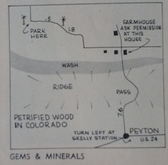 Original Map to the Petrified Wood Collecting area in the 1967 Gems and Minerals article. Many things have changed since this article was printed, nearly 50 years later. Instead of the turn being the “Skelly Station”, we can see the map is pointing to “Peyton Highway”, which runs north to go over a mountain pass and turns hard left (west) on “County Road 74/82”, which parallels the wash that is talked about in the article. I do not think there is any need to stop at the farmhouse listed in the article to ask for permission, as the ranch land gave way many years ago to the need for housing, as the populations in nearby Denver and Colorado Springs swelled, so did the growth out into the nearby countryside. 50 years ago there were just cows and a couple windmills, now there are hundreds of houses dotting the landscape. The issue is that the property in Colorado has two things going against it – Waterways can be included in property lines and property does not have to be POSTED to give first refusal to entry, as in most states in America.
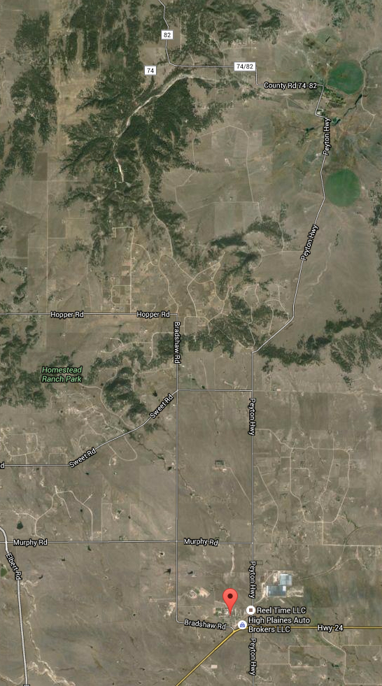 This map shows the area as shown in the illustrated map above. As we searched google for information on this location, the terms “Peyton Petrified Wood” were coming up nearly blank. We did find an entry for it on Mindat.org, but it did not show anything directly from this location. Additionally, PeaktoPeak, a well known website for Colorado collecting, has a bit about petrified wood from that general area. Digging through field guides to Colorado, we could not find this location listed, could it have been one of the locations that simply slipped through an information hole, getting a two page article and then just…relegated to maybe popping up in a mention in a local club newsletter. It IS possible to contact the property owner, Tim Richardson, at timothy.k.richardson@gmail.com for guided tours of the petrified wood deposits.
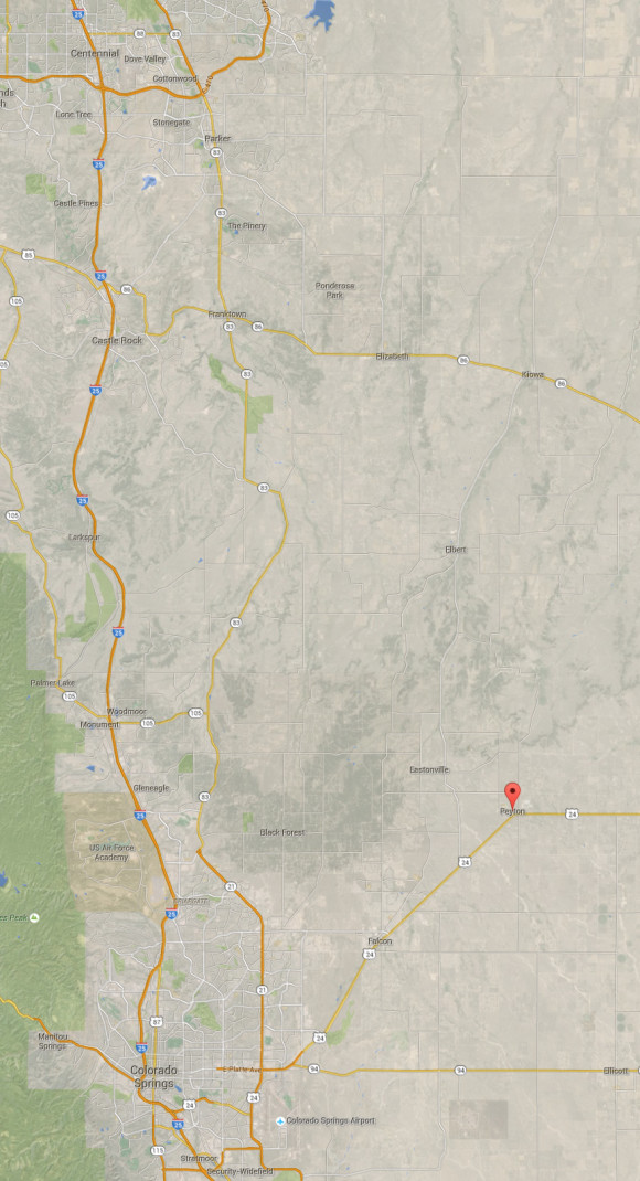 as you can see, Peyton is not a far drive from Denver or Colorado Springs Researching where rocks are found is necessary and interesting – don’t neglect to inspect old magazines and field guides from 40, 50, 60 years ago. You never know when a good location has simply fallen through the cracks and is waiting for you to find it and come explore! You’ll find that property ownership has changed over the years, however, don’t neglect to contact current property owners about that old information – many people are excited to find colorful rocks and minerals and are surprised they are underfoot.
 “Looking down the wash where the good petrified wood is found. Floowaters that uprooted the tree in the foreground also uncovered new gem material.” – Photo by Eugene M. Beason.  So, when ever the rain is hard in colorado, new material is unearthed!
One of the more common questions that is asked about where to find specific minerals is…”Where can I find Peridot”
With the distinctive green color and hardness that lends itself to faceting, along with being a popular gemstone from antiquity, the gem variety of the common mineral Olivine is often a subject of rockhounds.
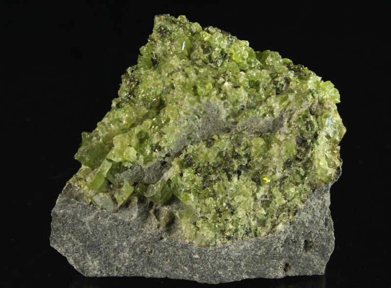 Peridot Grains in a Volcanic Bomb of basalt – Notice the larger grains on the left side of the photo. These grain are almost large enough to produce a cut stone.
Large, beautifully formed crystals of gem peridot were mined on an island in the Red Sea, off the coast of Egypt. These peridot crystals were a staple of the green gems associated with Egyptian royalty. Today, fine crystals of peridot are mined out of Pakistan, but is more to peridot than crystals, there is gem rough! One out of this world example is peridot being found inside meteorites that have landed on earth. These meteorites, when sliced, show the gem quality inside, metallic webs wrapping a dark olive color, which can be cut into gemstones. The other type of peridot to be found is gem rough that forms alongside volcanic eruptions, forming “peridot bombs” or Xenoliths. A xenolith is a fragment of rock that gets caught up in a flow, in this case, chunks of peridot were caught up in the lava erupting from the ground, creating these chunks of black basalt in which lumps of cracked, fragmented peridot can be found. Not every lava flow has peridot, but when they do, they become noted to rockhounds all over the world.
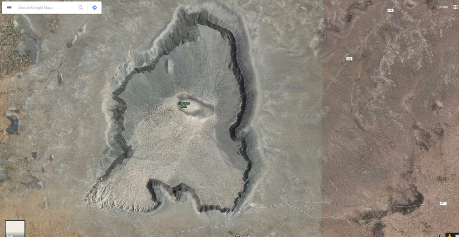 Kilbourne Hole Satellite Overview Map from Google Maps – Peridot is found all around, best places are to the North East.
One of these lava flows containing peridot, that is open to collecting, is the Kilbourne Hole, located a few dozen miles outside of El Paso Texas, in New Mexico. Just think of that, readers in El Paso, Las Cruces, Western Texas, rejoice, a site for you! For the rest of us, a long drive! Kilbourne Hole is a place where one can explore and discover gem peridot – a trip for those with a AWD or 4×4 vehicle, as this is a sandy area with poor dirt roads. The lava flows that created this area were low erupting, not like what you have in mind in terms of a tall cinder cone, but rather a very wide crater, windswept and buried under millions of tons of sand. To collect here, you can either walk around the areas where chunks of dark black basalt are laying, chipping at them to see if they have peridot inside, or work into the walls of the flow, where you can see the layer with the basalt. It doesn’t always jump out at you!
When you are looking for gem peridot, it is all about size and color. You want clean green and a size large enough to cut away at in order to make a gemstone.
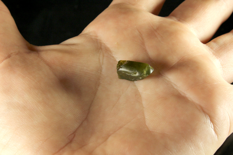 Large Peridot Grain ready to be faceted 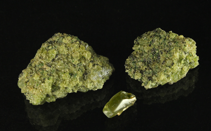 Two Peridot Lava Bomb Samples and one large grain, ready to be faceted 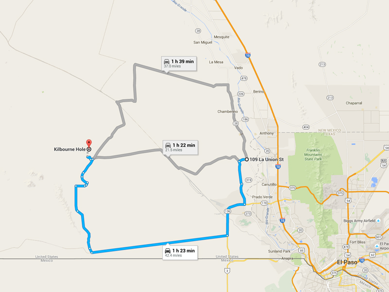 Google Map Directions to Kilbourne Hole Peridot Location 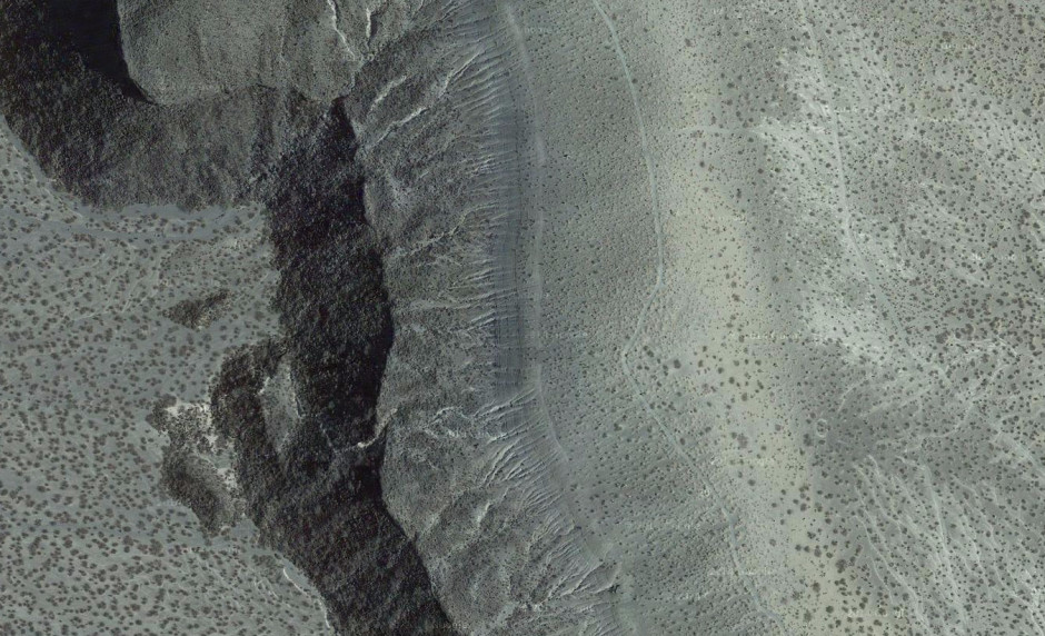 Close Up of Kilbourne Hole Rim Peridot Location East Side – Notice the two thin dirt roads going around the perimeter of the Lava Crater.  Close up view of Peridot Grains in a Basalt Volcanic Matrix Now, if Kilbourne Hole is too far for you to go – Check out our fun Gem Hunt – Gem Rough Mining Kit!
We have 12 gem rough, including Peridot, found in every kit, which featured a brick of hard sand, just add water to the box and then search with the included tweezers through the thick sand for your gems, sort them into the included gem cups and identify them and learn about gemstone mining and identify what you found in our 16 page full color Gems 101 Booklet – Perfect for ages 5 and up, Is it good for a science minded 7 year old? Yes! It is for EVERYONE who wants to play around and find real gemstone crystals. You always get a Herkimer Diamond, a Blue Zircon, Green Peridot and much more – Buy one through this page and get a FREE Peridot Xenolith, just like the ones on this page – Until December 15th –
 Buy one of these from us before December 15th and get a FREE Peridot Xenolith with your order!
For $34.99 plus $8.99 shipping to USA – You get one of these high quality Gem Hunt kits, a perfect gift idea for almost all ages – Plus a Peridot “Bomb” approx 2 inches in size! Order one now, supplies are limited! Use the button below to order via PayPal or email FortySevenPress@gmail.com – re: GemHunt Peridot Order
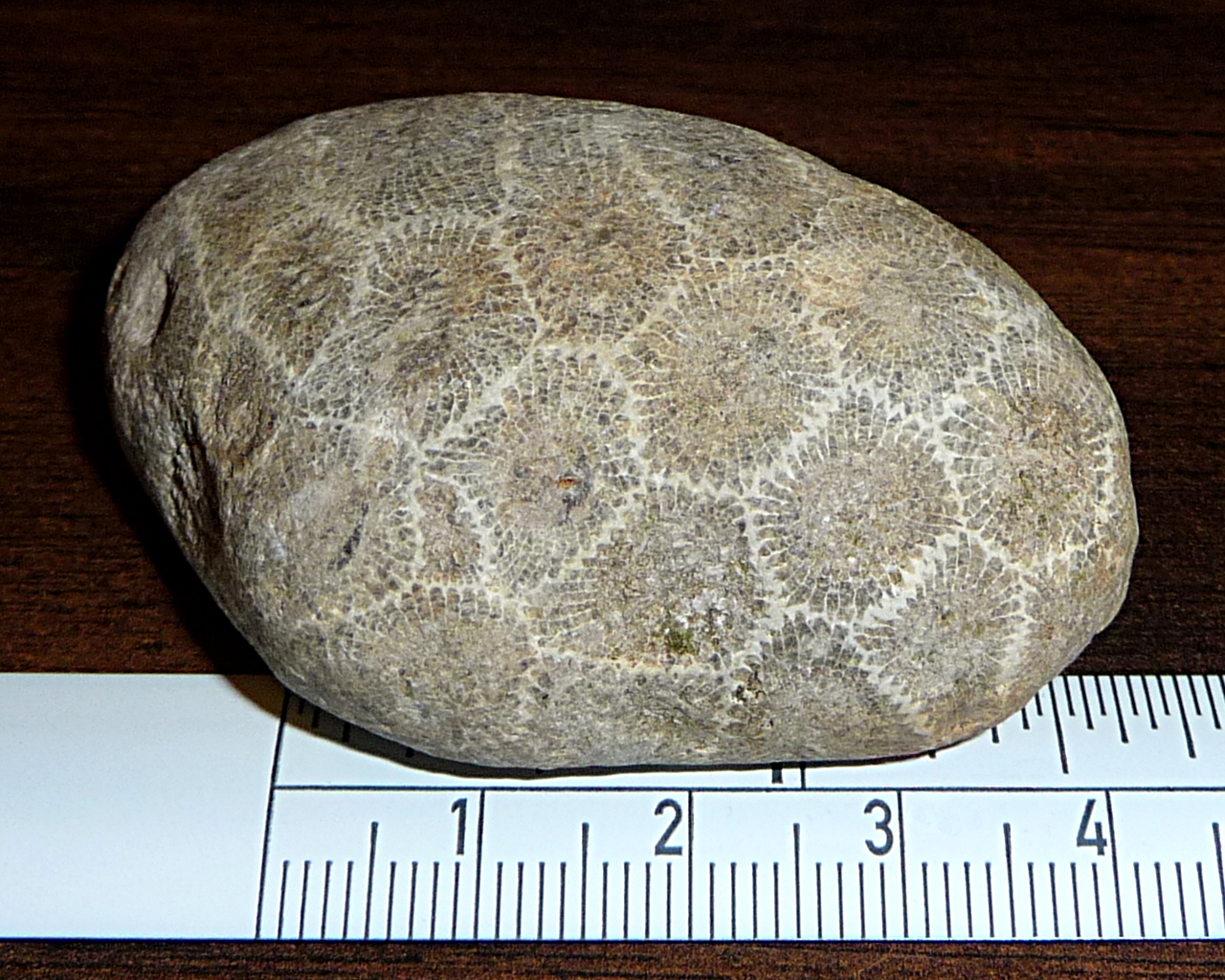 Unpolished Petoskey Stone with cm scale – photo by David J. Fred CC Take the Petoskey Stone. Don’t worry, hundreds of thousands of these stones have been picked up from the beaches, fields, quarries and roadsides near Michigan’s Traverse Bay. Local tourism welcomes you to take a few home with you fromTraverse City and upwards through the towns of Ames, Elk Rapids, Torch Lake, and up to Charlevoix, where many suggest visiting the beaches in order to find these stone fossils. These stone replaced corals are abundant and often take a fine polish, used for tumbling, cabbing and slabbing. The floral patterns and semi-hard, easy to polish, calcite replacement make this a stone that was sure to bring rock collectors of all walks of life to this area of the world.
This vast area of Michigan was once covered by an ocean full of corals, the Hexagonaria percarinata, among others, which at some point in time were covered up with rock, turning into vast limestone deposits with countless bits of these dead corals well preserved, from millions of years ago. Bring the glaciers into the picture and suddenly the stone corpses of these corals are spread out all over the state, wherever the glacier dragged chunks of this limestone about. People have experienced finding these Petoskey stones all over the state, however, the most popular locations for collecting are on the shores of Lake Michigan, as the frost and rain pushes and pulls the sands and gravels, revealing more each year.
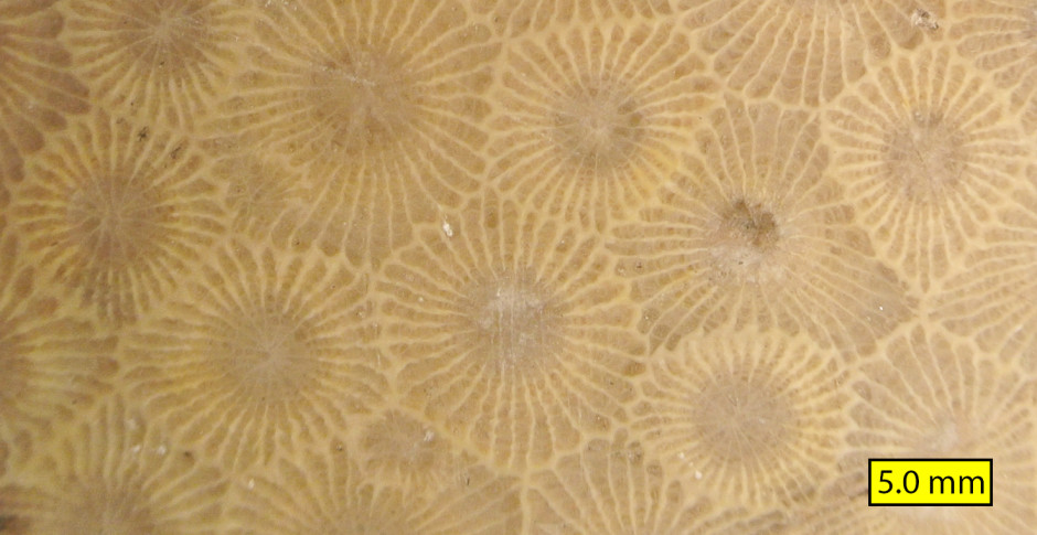 Hexagonaria percarinata close view – photo by Wilson44691 This rock collecting area is all about exploring. You can find hot spots where the specimens seem to crop up everywhere, you can walk for a half mile and not see a one. Anywhere there is gravel, that is a great place to hunt. There is a world of information about these stones, so many websites, books, articles, parks, dedicated to these funky fossils. This year it was all about the 90ish pound boulder specimen pulled out of Lake Michigan. I personally saw the photo pop up on instagram, then get taken down. The state has a limit of 25 pounds collected at a time! There is a photo of President Obama with one of these stones on his desk. It is the state stone of Michigan and certainly a draw for tourism. So, I highly suggest grabbing a copy of this book, The Complete Guide to Petoskey Stones
Check out the following links below for more information on Petoskey stones and click here or on the banner below to check out Petoskey Stones available for sale on eBay.
The Petoskey Chamber of Commerce has a great website detailing information about Petoskey Stones and where they can be found and purchased, locally, in Michigan!
You can check out our friends at RockTumbler.com for information on tumbling, polishing and grinding your specimen of Petoskey Stone. That site has great information.
Here is an article about Obama’s very own pet Petoskey Stone
Here is an article about the Petoskey Stone that cause the big news in 2015.
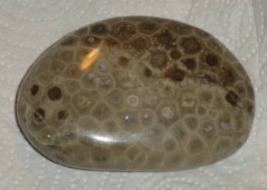 Photo of a polished Petoskey Stone, Hexagonaria percarinata – Photo CC The best thing about hunting Petoskey Stones is the beauty that is Upper Michigan. The beach views of Lake Michigan are said to be breathtaking, the landscape is full of greenery and wild flowers in the spring.
Dead center in the great wide state of Montana, a deposit of quartz crystals can be found. Typically double terminated, squat crystals with very short c-axis, these come in clear, milky and smoky and available for people of all ages to find!
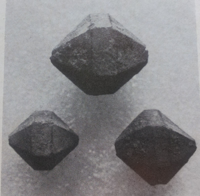 This photo was used in the October 1971 issue of Gems and Minerals Magazine. This shows how they can be confused with actual diamonds, with their form. There are dozens of locations around the world where quartz “diamonds” are produced. You see, people want diamonds. Marketing has told us how desirable they are, how they signify love. Just wait until the November through March, non-stop jewelry store commercials pushing whatever diamond scheme they have this year on everyone. In 2014 it was those terrible “chocolate diamonds” which are one step above industrial grade. The truth is, there are way more diamonds in the world than there will ever be a need for, so it is an artificial market kept afloat by you and me. With that in mind, a random that has very little knowledge about minerals can pick up a double terminated, squat quartz crystal and think “DIAMOND!”. This gives the name to so many deposits. Cape May New Jersey Diamonds, Herkimer New York Diamonds, Montana Diamonds, Pecos New Mexico Diamonds, Pakistan Diamonds, Tibetan Diamonds…all…quartz. Well, everyone loves quartz crystals, so hey, even if someone was disappointed that they didn’t find diamonds, us rockhounds are happy with what they found!
Montana Diamonds are found about 20 miles from the town of Lewistown Montana, nearly smack dab in the middle of Montana. On the top of Judith Peak, an open area for collecting with hand tools, an abandoned radar installation is located. All of the road construction and removal of trees and overburden for the buildings has uncovered ample ground for searching and rockhounding. At an elevation of 6,386 feet above sea level, an igneous deposit of rhyolite has been pushed up to the surface. The rhyolite cools at different rates, the slowly cooling rock giving more time for the quartz crystals to grow larger. This deposit hit the right notes, leaving a layer of rhyolite that contains these well formed crystals.
 The Judith Mountains are located in Central Montana. Judith Peak is about 20 miles outside of Lewistown.  The pinpoint on the map shows Judith Peak and the pin covers up the main collecting area.  This area is a great place to start prospecting – This is home to an defunct US radar installation. In the USGS publication Geology and Mineral Resources of the Judith Mountains of Montana By Walter Harvey Weed, Louis Valentine Pirsson it is written about this area in 1898! (This book can be downloaded as a PDF by clicking this link)
Judith Peak itself is composed of quartz-bearing porphyry…The small, angular light colored flakes compose the crest and slopes. Pine trees grow thickly upon it, and in places they have been burned and the porphyry has been reddened or blackened by the fire.
On the north side of the slopes fall away into several steeply descending, half-funnel gulches. The angles of slope of the broken porphyry is extremely steep, and the gulches have almost the aspect of amphitheaters. Farther down the blocks of the broken porphyry naturally becomes larger.
Almost at the summit of Judith Peak, a few hundred yards north-west, the porphyry appears crushed and filled with narrow quartz seams, which are stated to carry low values in gold. Southward from here, although the porphyry is greatly rotted and broken down, it can be seen that there is a gradual increase in the number and size of the quartz phenocrysts until,…these quartzes assume a large size, the phenocrysts being often an inch or more long. The quartz crystals weather out as pebbles, and very perfect specimens may be obtained
 In this photo from the 1971 October issue of Gems and Minerals, you can see a collector searching for quartz crystals in the rhyolite. Well over 100 years of collecting quartz from this location and yet…there is still more to be found! So, if you find yourself in Montana, right about dead center, you’ll be close to some fantastic quartz collecting!
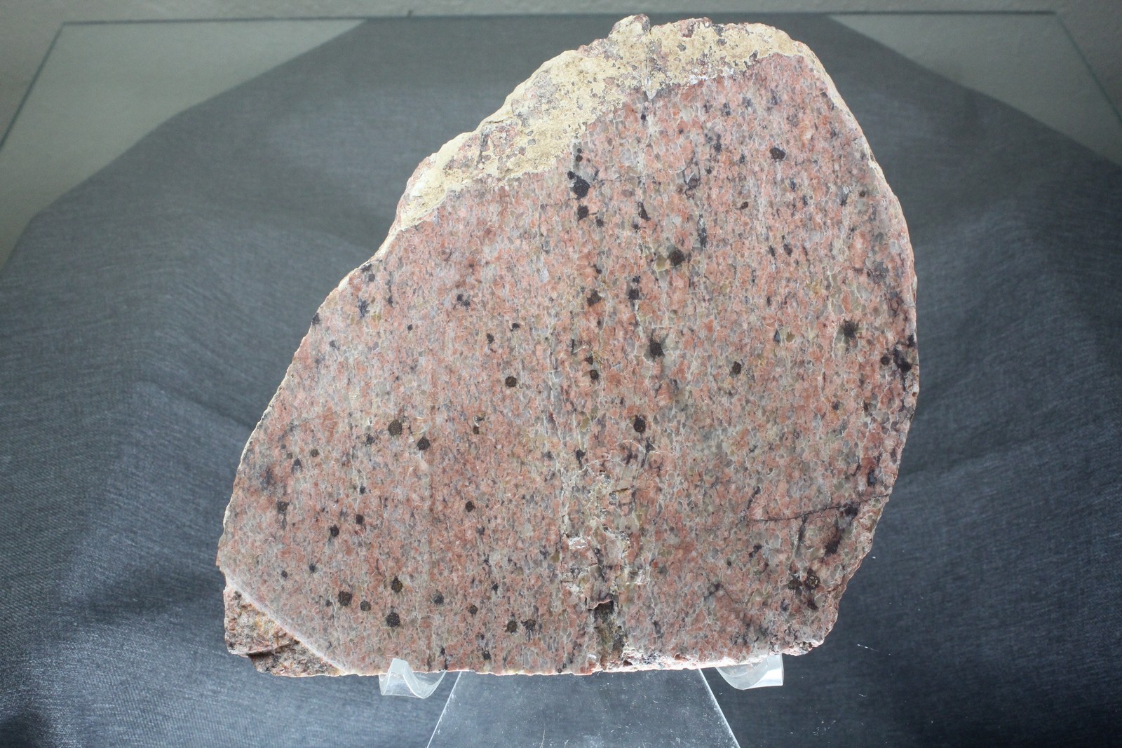
Mountain Pass is a famous mineral deposit that is found between Baker California and Las Vegas, immediately off the sides of highway 15, making access to the huge deposits of rare earth elements absurdly easy.
However, easy as the deposits are to get to, please don’t think of giant sparkling crystals…or even dull, earthy, single crystals. The diverse mixture of minerals found in the Mountain Pass district occur as frozen crystals in a barite-carbonate deposit. That means, these are just…rocks. Or, rather, solid chunks of minerals, requiring some lapidary work to enjoy the wonderful mineralogy found in this interesting deposit.
The history of the Mountain Pass district is quite interesting, from the original prospecting for silver, gold and sulphides, to the uranium boom in the 1950’s, when it was discovered that much of the belt of rolling hills north and south of the Sulphide Queen mine, which is right on the side of what is now highway 15, contained large amounts of radioactive rocks. While there was no uranium, the rocks are rich in heavy elements of cesium, lanthium, europium and neodymium. Mineralogically, we find a host rock of barium, dolomite and calcite that can have various mixtures of mica, apatite, bastensite, zircon and more. Take a peak at these microscopic drawings of thin slices of rock from Mountain Pass, as found in the USGS report HERE http://pubs.usgs.gov/pp/0261/report.pdf
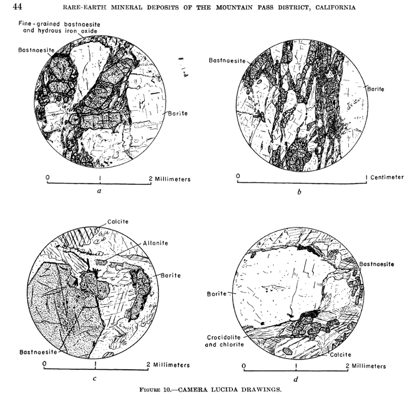
If you want to read more about the deposit, we suggest these links for more information as to the current production of ore at the only operating REE mine in the USA.
https://en.wikipedia.org/wiki/Mountain_Pass_rare_earth_mine
https://www.hcn.org/issues/47.11/why-rare-earth-mining-in-the-west-is-a-bust
http://www.cbsnews.com/news/rare-earth-elements-not-so-rare-after-all/
This is not TellMeAboutMineralDepositHistory.com, this is WhereToFindRocks.com! So, let me tell you how to add a specimen or two of this interesting mineral deposit to your collection!
We can start with MRDS, one of our favorite websites and a prospecting field collector’s best friend. This site lists a vast majority of all claims made for mineral deposits and lays them out in a way that makes prospecting readily accessible to everyone.
We start out by getting close to the area we want to review, in this case, the Mountain Pass district.
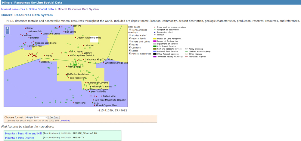
Once we have this area outlined, we can request the data, using the button below the map. Personally, I enjoy using it with Google Earth and I will show you how that is done.
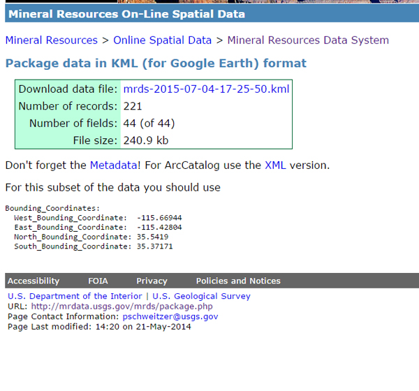
By selecting the google earth data output, we are given a page that shows a downloadable link to the data. Clicking the blue link and saving that file will give you a .kml file. If you have Google Earth installed, you simply need to double click this file and google earth will open up, showcasing the X’s and crossed hammers of mine sites as shown on the MRDS map.
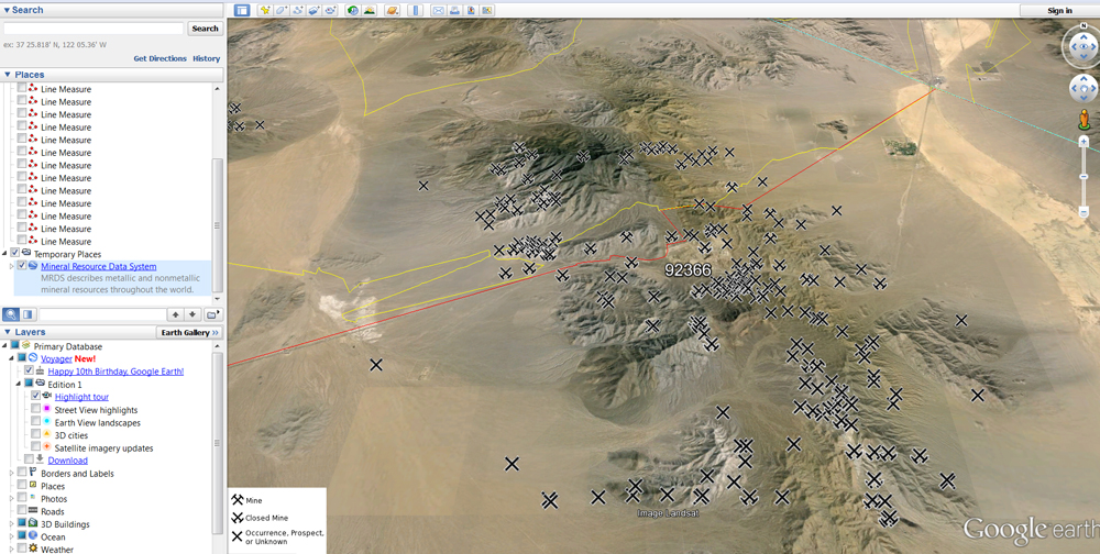
From here we can move into the map and start looking at the landscape surrounding the deposit. We can see the Mountain Pass Molybdocorp mining area to the north of highway 15, in addition to that, there are an abundance of X’s South of highway 15.
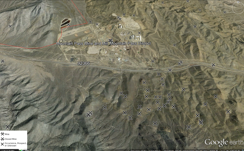
Clicking on the X’s we can see the prospects, both inactive and active, for REE-Barium, scattered all over the hillside. You can clearly see the outline of the deposit from the borders of the prospects and note that many of these prospects are on the brown/tan outcrops along the mountainside. One simply needs to exit on Baily road and turn South. Several outcrops are readily available immediately off the road with minimal hiking.
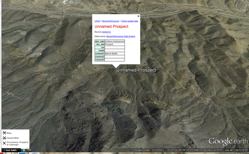
There are so many deposits along these well graded dirt roads, one could investigate them all day…or, simply stop here and stretch your legs on a trip from Los Angeles to Las Vegas and pick up a piece of this interesting material.
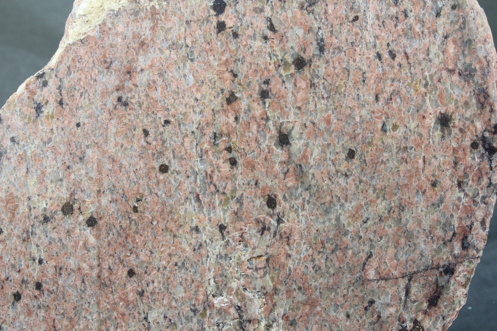 Close up view of a slabbed specimen of carbonate-barite REE mineralization from the Mountain Pass District. 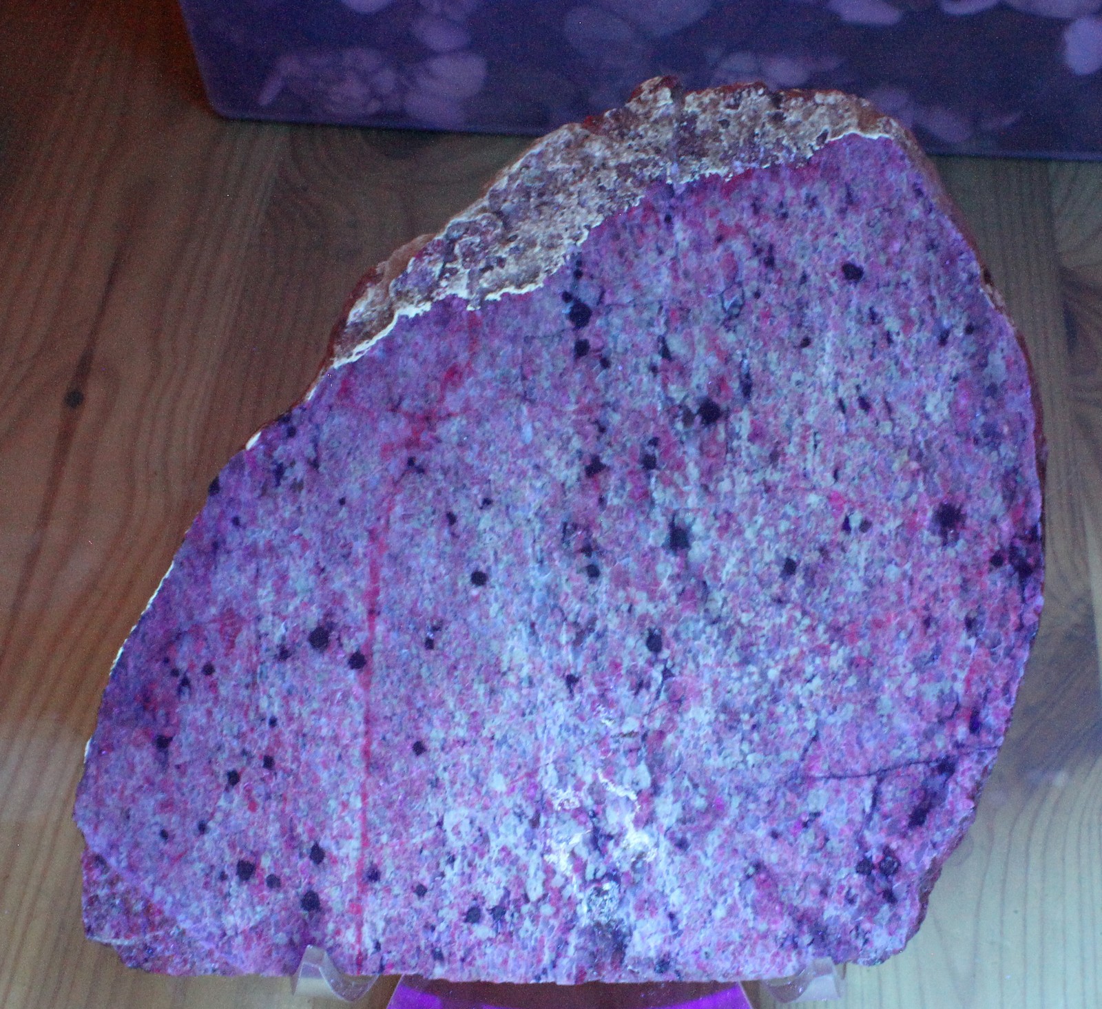
This photo was taken with a 18 watt Short-Wave UV light, showcasing the carbonate content reaction.
The noon sun hung in the sky with a dull yet irritating heat. It was early Spring, and I was traveling to a place nobody had any reason to be, an empty valley in Central Utah. I grabbed the canteen swaying from my hip, took a hearty swig, and wiped the small beads of sweat slowly forming on my brow. The dry earth crunched with each trod of my heel, one after another like a rhythmic drum, each thud forming a slow monotonous beat.
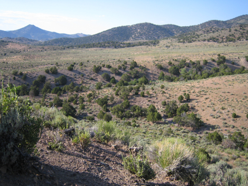
I took in my surroundings. At surface level there was not much to see, canyon walls and plateaus, little wildlife, and less trees. What little vegetation was found here often amounted to sagebrush. It peppered the dirt in various shades of chartreuse, flowing lightly with the siblant hissing of the wind. I was two miles south of Marysvale, Utah, a small town with less than five hundred residents. On this particular expedition, I was alone.
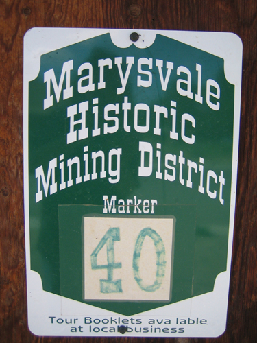
The area I was headed to was the now abandoned Elbow Ranch. On my shoulders slung a backpack stuffed lightly with supplies: a fold up shovel, a pair of gloves, a chisel, a spray bottle of water, a rag, the morning newspaper, a loupe, and a geologists hammer. I also made sure to leave some empty space for any of the various specimens I hoped to collect.
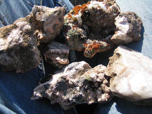
I’d spent the earlier half of the day in the Durkee Creek area. Durkee Creek was much easier to reach than the hike to Dry Canyon had to offer. Most Rockhounds with already impressive collections probably wouldn’t have bothered spending the time there. The red-brown earth of Durkee Creek offered an abundance of zeolite, but they were often small specimens that didn’t equivocate to the effort involved.
It wasn’t until one o’clock that I found an area that had seemingly been untouched. I unfolded the shovel, wedged it between the cracked earth, and began digging. With each downward stroke I hope for the sound of metal scraping rock. It was four feet down where I found it: mordenite, an orangeish pink rock like rusted iron. With my chisel and rock hammer I chipped at the rock, a tedious process requiring delicate precision. When I’ve made enough of the outline I wedge the pick in and remove the specimen like a loose brick.
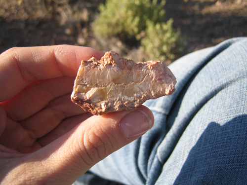
A quick spray from the bottle and a wipe of the rag gave the rock a quick polish. The mordenite was about half a centimeter thick, forming a crust for the interior of crystalized white quartz. I held it over head where the light could reach, twisting it in hand, watching it blink and shimmer in the afternoon sun. I recall thinking a familiar thought, an image of this same area long ago. A memory strung together from vague recollections of scientific studies and my own personal imagination. It was a hostile world, fiery and volcanic, but one small pocket of that world had been preserved. A fracture of time lying dormat, imprisoned and pressurized for thousands of years, found by me after a series of seemingly coincidental happenstances.
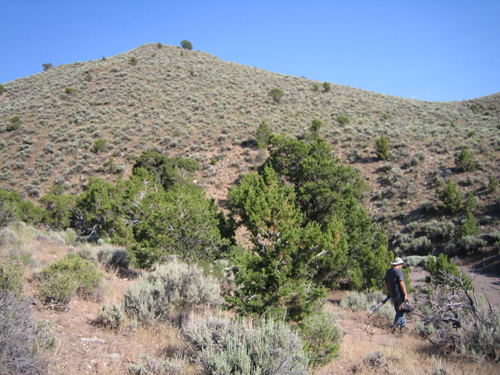
I tore a page from the classified section of the day’s paper and wrapped the mordenite with care, then I climbed my way out of the hole. The sun stood due west, glaring. My wrist watch read 4:00 pm. In Marysvale Utah many of the residents are returning from work, preparing for dinner and the days end. I grab the canteen, and wipe my brow. Then I gather my gear and continue on. I’ve yet to try my luck at the Blackbird Mine.

|
Gem Trails
by Various Authors
The Must Have, if nothing else than to have an IDEA about the collecting spots in your state, the gem trails books are a wealth of information at a low price. The perfect beginner guides that are refrenced by serious field collectors! Click on the book covers to view them on Amazon, or search the eBay link below.
Gem Trails on eBay
How to prepare your 4×4 for rock collecting.
Rock collecting may be a popular, family oriented activity, but how often do you think of the safety of your family first when you go off the beaten track to hunt for that one, perfect example of a billion-year-old rock? How often have you heard of people being stranded without food and water for days, just because the driver did not check his vehicle before leaving home? Don’t let this happen to you and yours! Simply follow the few easy-to-follow tips listed here to reduce the possibility of vehicle breakdowns when you could be hundreds of miles away from the nearest repair shop.
Check radiator hoses.
This might appear to be self evident, but according to the AAA, engine overheating is the leading cause of vehicle breakdowns in America. Radiator hoses must be firm to the touch, and free of oil, and even oil residue. Oil degrades the rubber of radiator hoses, which makes it imperative that oil contaminated hoses be replaced before your next trip.
Check all V-, and other drive belts.
You may think your belts are OK, but the most damage occurs when the pieces of a broken drive belt work themselves in under the other drive belts. This can cause all your belts to jump their pulleys, and because of their high rotational speed, the flying pieces can destroy the radiator, the battery, the radiator fan, and critically important wiring. When in doubt, don’t procrastinate, replace all the belts, and observe the proper tensions on all.
Check the charge rate.
The proper rate of charge on 12 V vehicles is 14.2 – 14.6 Volt. Anything above or below this value is indicative of a faulty alternator, or maybe worse, damage to wiring in places where you cannot repair it in the wilderness, so fix it now, while you can.
Check battery condition.
Don’t just look at the outside, and maybe clean off acid accumulations. A battery needs to be able to deliver specific currents at certain times, such as during starting. Have an authorized battery dealer perform a draw test, to determine the ability of the battery to deliver sufficient starting current. Also, compare the specific gravity of the electrolyte in each cell against the specs for your battery. Differences of one or two percent are normal, but differences or deviations that approach 5% are not, and you should replace the battery.
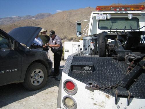 You don’t even want to THINK about how much it costs to get a jump start in the desert, 80 miles from nowhere. Check the suspension.
Check the suspension and steering systems for excessive free play between related components such as ball joints, tie rod ends, steering dampers, draglinks and control arms. You may think that since the tie rod ends have been a little loose for the last two years, they are OK because they have not pulled from their sockets yet, but off-road driving places extreme loads on a vehicle, and the last thing you want to happen is to lose your steering while going down a steep, rocky hillside. Think of your family, and replace all worn components before you leave home.
Check the brake system.
Check the entire system for signs of leaks, and do NOT forget to check the slave cylinders inside the brake drums. These cylinders can lose up to 60% of their effectiveness before they even start to show signs of leaking, which means you could be driving around with less than 50% of your braking capacity. Moreover, if you had been topping the brake fluid reservoir regularly, but cannot see a leak, remove the master cylinder from the brake booster to check if the brake fluid is not leaking into the booster. If this is the case, replace the entire master cylinder because you can never be sure the rubber seal kits available today will not fail you when you need them most; such as when you are going down a steep, very narrow mountain pass, with a 1000-foot drop off, and no safety barrier.
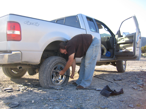
Better safe than sorry.
Performing basic vehicle maintenance procedures before heading into the wilderness is not a hassle: it is a vital precaution against being marooned hundreds of miles from the nearest repair facilities. It is also great way to prevent potentially fatal accidents caused by parts that failed because they should have been replaced months ago, but was not. Think of the safety of your family, if not your own, get your vehicle into great shape, and enjoy the rock hunting, which is what you go into the wilderness for, right? Only make sure that by taking care of your vehicle, you can safely make it out again!
[sg_popup id=1]
By: Jeremy Zolan
Difficulty Level: Easy to Medium
Supplies Needed:
Safety Goggles
Water
Insect Repellant
Shovel
Crack Hammer and Chisel
Paper for Wrapping Specimens
Bucket
Prybar (Optional)
Pick Axe (Optional)
Wheeler-Rex 590 Soil Pipe Cutter (Optional)
Search for Minerals from Iowa

Description:
View a map of the locations of these geodes by visiting MinDat.org’s copy of this map
Click Here to Load Map
Geodes in the Warsaw formation of Iowa, Missouri, and Illinois. Each ‘x’ is a geode location. Originally from Arthur E. Smith (1997): Geodes from the Warsaw Formation of Missouri, Iowa, and Illinois, Rocks & Minerals, 72:6, 420-423. Updated and colorized by William W. Besse.
Many sites in the tri-state area of southeast Iowa, northeast Missouri and western Illinois produce geodes of world class quality. In fact, nowhere else in the world is richer in geodes than this strange area of the Midwest, where the Mississippian geode bearing Warsaw limestone formation is exposed near the surface. The geodes can reach 20cm across or larger and are mostly lined with quartz crystals though a variety of minerals like calcite, dolomite, sphalerite, and even millerite have been found in geodes. Geodes can be found wherever the Warsaw formation can be found outcropping. They can also be dug from riverbanks. Many fee dig sites for geodes are found in the areas of Iowa, Missouri, and Illinois rich in geodes.
A pipe cutter, specifically the model above (Wheeler-Rex 590 Soil Pipe Cutter) is great for opening geodes. Simply score the geode around the perimeter lightly with a hammer and chisel, clamp the cutter around the perimeter of the geode, and then carefully apply pressure until the geode splits. It is most desirable to split geodes into two equal sized hemispheres.
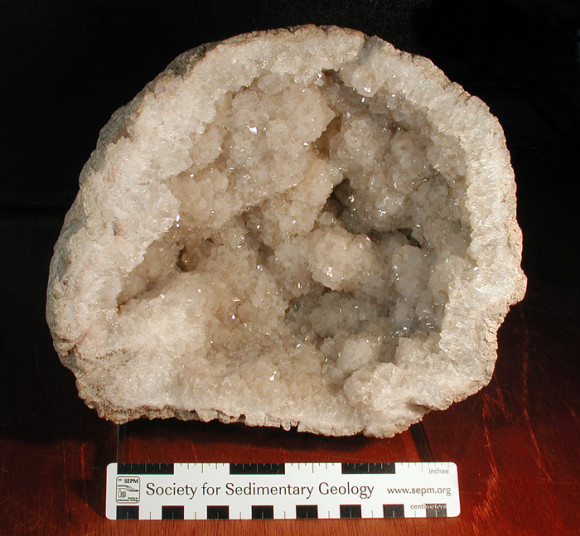
Large quartz geode from Keokuk area- 20 cm diameter. Collected by David Wixom. K. Nash specimen and photo.
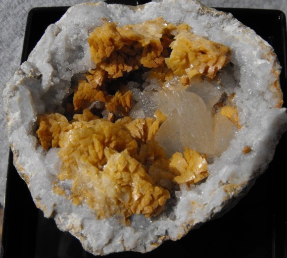
Typical geode and associated minerals (calcite and dolomite) from Keokuk, Iowa area. 4cm x 4cm. Rolf Lutcke specimen and photo. Ex. Paul Griswold
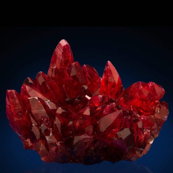 Geodes sometimes have carbonate minerals inside, like Calcite. But, wouldn’t it be cooler if they had crazy red Rhodochrosite crystals like this. Click here to see more amazing photos of crystals Localities:
Sheffler Rock Shop and Geode Mine:
RR1 Box 171
Alexandria, MO 63430
At junction of Highway 61 and 27, 6mi S of Alexandria
Tim Sheffler
(660) 754 – 1134
tsheffler@mchsi.com
$25 per day for 50 lbs of material. 75 cents for each additional pound
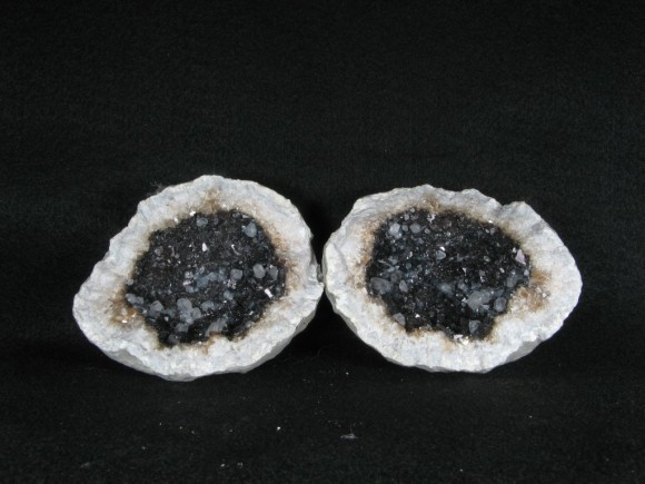
Calcite and quartz geode from the Sheffler Geode Mine. A good specimen for the locality. 10 cm wide. Roger Sedgwick specimen and photo. Collected by owner.
Geodes are very abundant at this locality, hence the high limit for material. They are typically filled with quartz crystals but some other interesting mineralization can be observed. Dolomite, calcite, and pyrite are common accessories. It is best to use a prybar to free the geodes from the limestone matrix and open them at home or wherever they can be carefully cleaned, opened, and sorted.
Des Moines River, Iowa and Missouri
Geodes can be found abundantly in the outcrops on the shores of the Des Moines river. Bring a shovel to loosen geodes from the muddy banks and wash them in the river so the surface features can be seen. Some rocks at these riverbank localities may be deceiving and look like geodes but are just cobbles that have been well-rounded by erosion. These geodes can be filled with a wide variety of minerals and be of extremely varying but most will only contain quartz and typically at most one other species such as calcite or dolomite.
Jacobs’ Geode Shop and Mine:
823 East County Rd 1220
Hamilton, IL 62341
(217) 847-3509
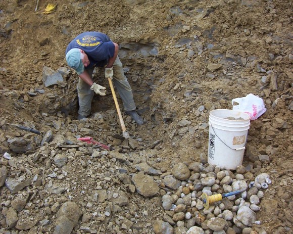
Caption: Collector with large pile of geodes in Jacobs’ Geode Mine workings. E. Harrington photo.
Call before visiting. It is best to dig while the owners are around so they can show you the best technique to use at this site. It’s a good idea to call in advance to make sure they will be at the mine. The all day fee is reported to be $20. Apparently the owners only allow visitors to crack certain geodes on site so most of the prep work should be done at home. Reported to produce very nice material
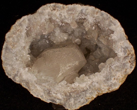
7cm geode with 3.5cm calcite crystal. E. Harrington specimen and photo.
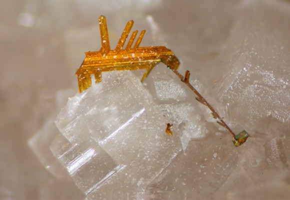
Marcasite crystal in geode. FOV 4.5mm. Collected and photographed by David Hanson.
Dennis Stevenson Geodes:
625 S. 18th St., Hamilton, Illinois
Call ahead to plan a trip: 309-337-3089 or 217-847-2952
$20 for one bucket, $15 for each additional one.
Mostly quartz based geodes, but some have nice calcite crystals as well. A staple Midwestern geode locality.
Find out what minerals Iowa is and has produced, check out what is new on eBay

Field Trip: Copper Country Collecting in Michigan’s Keweenaw Peninsula
By Jeremy Zolan
Difficulty Level: Easy to Moderate
Supplies Needed:
Safety Goggles
Water
Sunscreen
Insect Repellant
Crack Hammer
Chisel
Shovel
Wrapping Paper for Specimens
Bucket
Sledgehammer (optional)
Prybar (optional)
Metal Detector (optional)
Description:
The Keweenaw Peninsula of Michigan has been nationally famous for over 100 years for its history of highly productive copper mining. The local basalt is criss-crossed with many thick veins of native copper that made up the main ore of many of the mines. Solid natural masses of copper weighing hundreds of pounds were found with relative frequency at the mines. Though these pieces certainly were the most valuable ore, the best specimens from the area are clusters of well formed copper crystals. Other metallic minerals can be found with the native copper such as silver, domeykite, mohawkite, and chalcocite. Many other interesting minerals like datolite, analcime, prehnite, agate, and thomsonite are also abundant in the Keweenaw Peninsula. While all the mines of the region are closed to copper production, many are maintained as museums and fee dig sites. There are also many abandoned mines in the area that can provide good digging in the dumps but be sure to acquire permission from landowners before visiting any location on private land.
Localities:
Central Mine:
US 41
Central, MI 49950
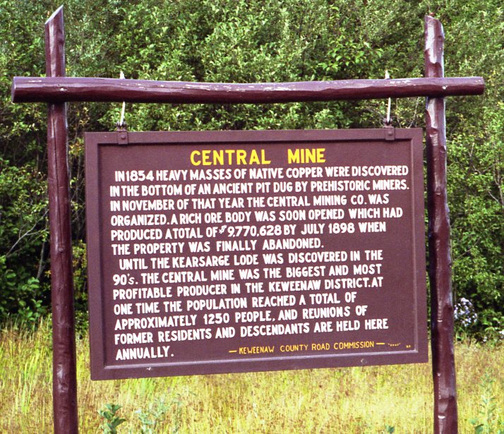
Photo by Dave Maietta
Map:
The large tailings piles of the Central Mine are visible from US 41 in Central, Michigan. Many collectors have had good luck recently working this location. Occasionally, contractors remove large quantities of tailings for construction purposes and this exposes fresh material. In addition to the standard copper specimens, copper included calcite and prehnite can be found here. Silver has also been found with copper here but it is rare. A metal detector is very helpful for sorting trough dump piles like those found at the Central Mine.
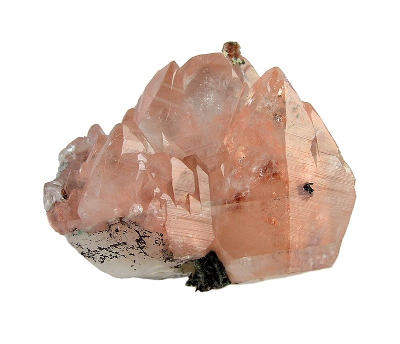
Caption: Calcite with copper inclusions. Central Mine, Central, MI 4.9 cm x 4.6 cm x 4 cm Ex. Rukin Jelks Rob Lavinsky Photo
Caption: Unusually large copper crystal. Central Mine, Central, MI. George Vaux collection at Bryn Mawr College. Scale bar is 1” long with rule at 1cm. Rock Currier Photo.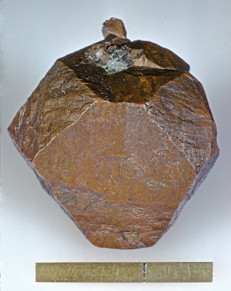
Caledonia Mine:
Website: http://www.caledoniamine.com/
906-370-1131
202 Ontonagon St,
Ontonagon
Michigan 49953
The Caledonia Mine is a fee dig site that requires an advance reservation. When digging at this site, collectors are given a large pile of stockpiled copper ore and tools to go through it. Weekly collecting events on Thursdays and Saturdays are also held from the first Thursday in June to the last Saturday in August on the ore pile. Advance reservations are needed for these too. The workings of the Caledonia Mine are impressively preserved and tours are offered too. The mine tours aren’t necessarily just geared for casual guests. Many kinds of tours are offered, some with a very in depth historical or scientific focus. It is best to check the museum calendar to see if any events are happening during the time of your visit.
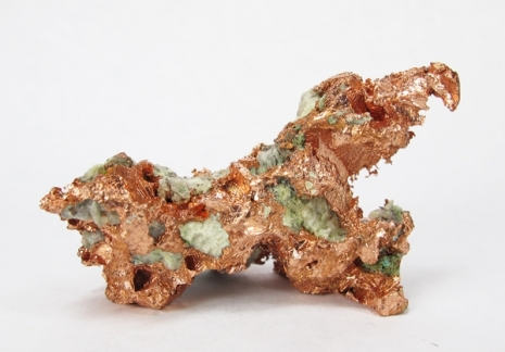
Caption: Representative specimen of native copper from the Caledonia Mine’s recent workings. 5.6cm wide. Rob Lavinsky Photo
A.E. Seaman Mineral Museum
Website: http://www.museum.mtu.edu/
Michigan Technological University
1404 E. Sharon Avenue
Houghton, Michigan 49931-1295
E-mail: tjb@mtu.edu
Telephone: (906) 487-2572
Michigan Tech’s A.E. Seaman Mineral museum is among the finest mineralogical museums in the world. Its laboratories are also critical in performing much of the cutting edge mineral research currently being performed. During the period of most intense copper mining in Michigan, many specimens of local minerals were donated to the museum. Their collection of Michigan minerals is the finest in the world and there is a strong local emphasis on their displays.
Check out our custom search and view all the minerals from Michigan for sale on eBay. Not only will you see lots of neat stuff for sale, you’ll also get an idea of what localities are producing in the region.

| 
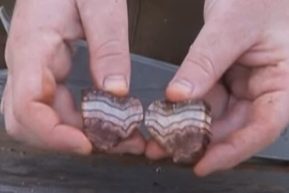
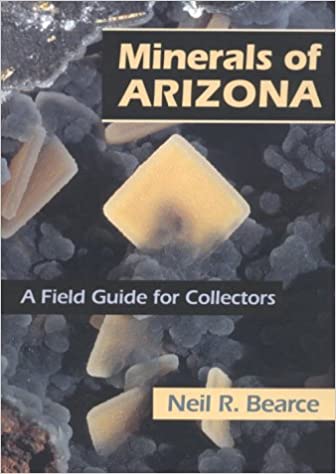
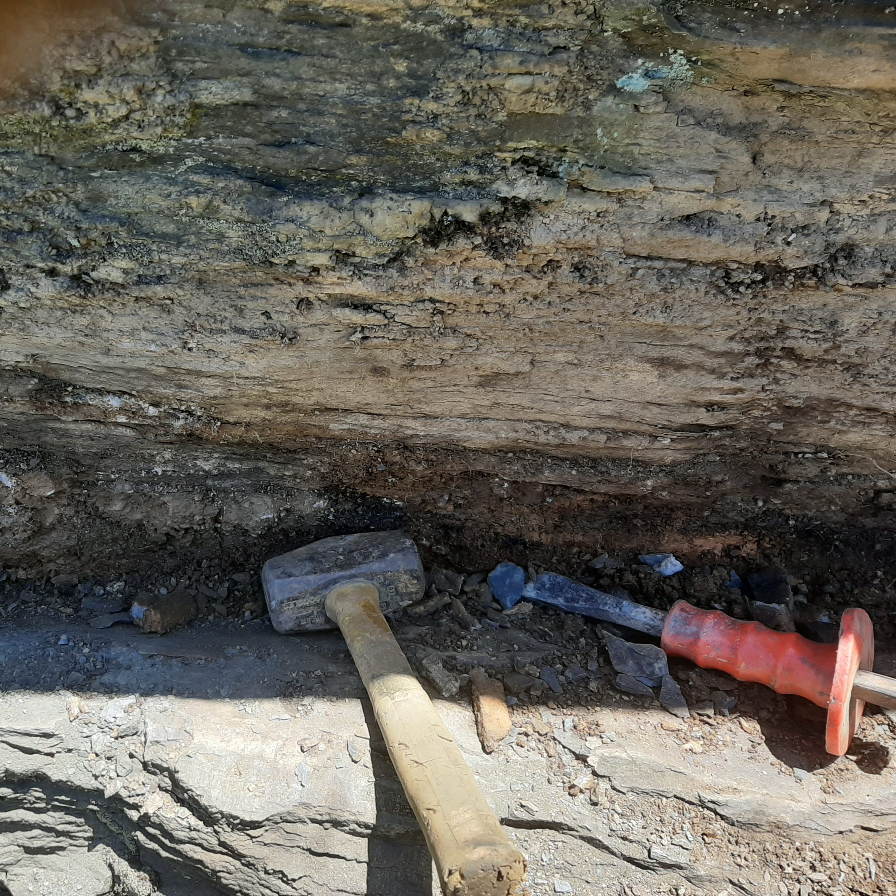
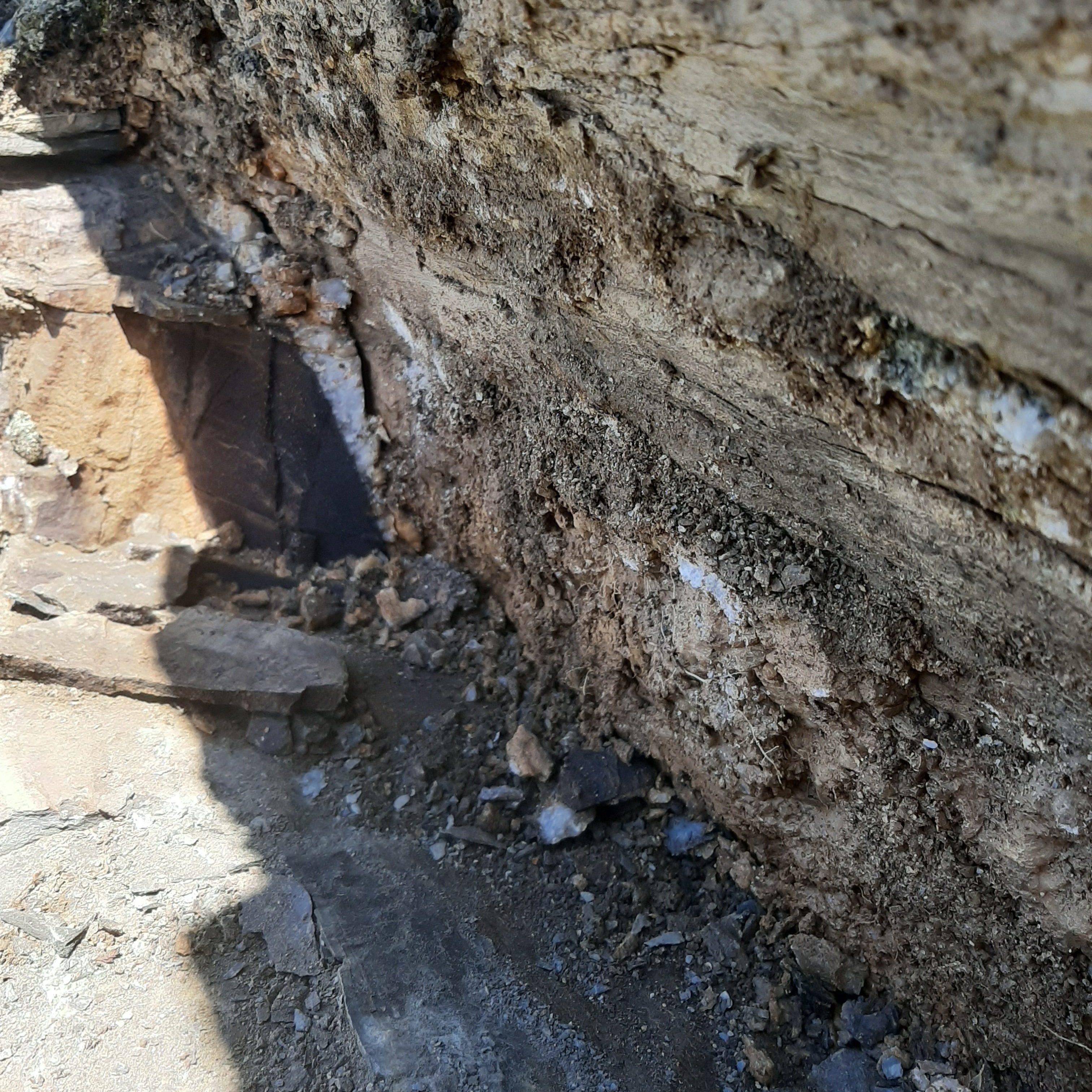
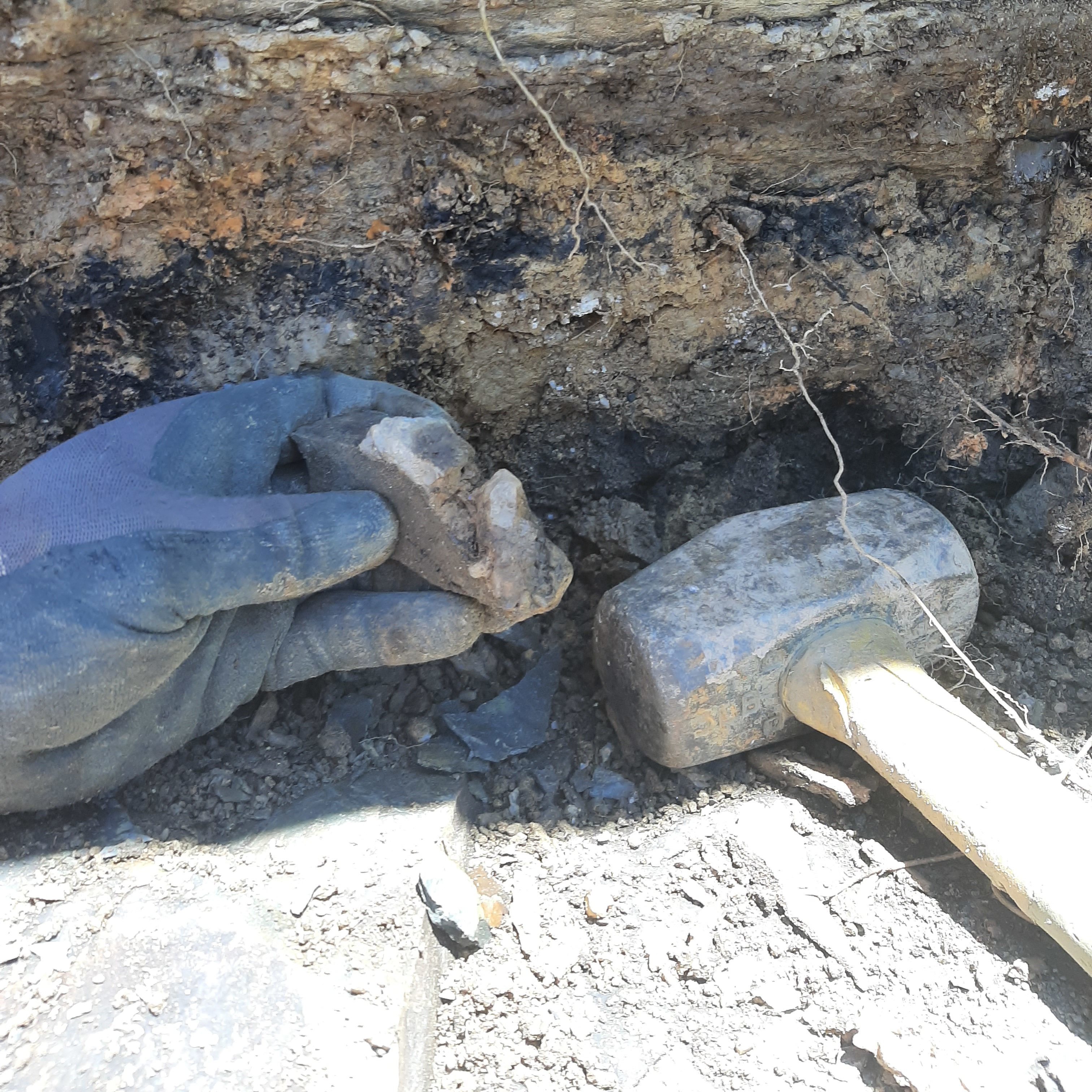
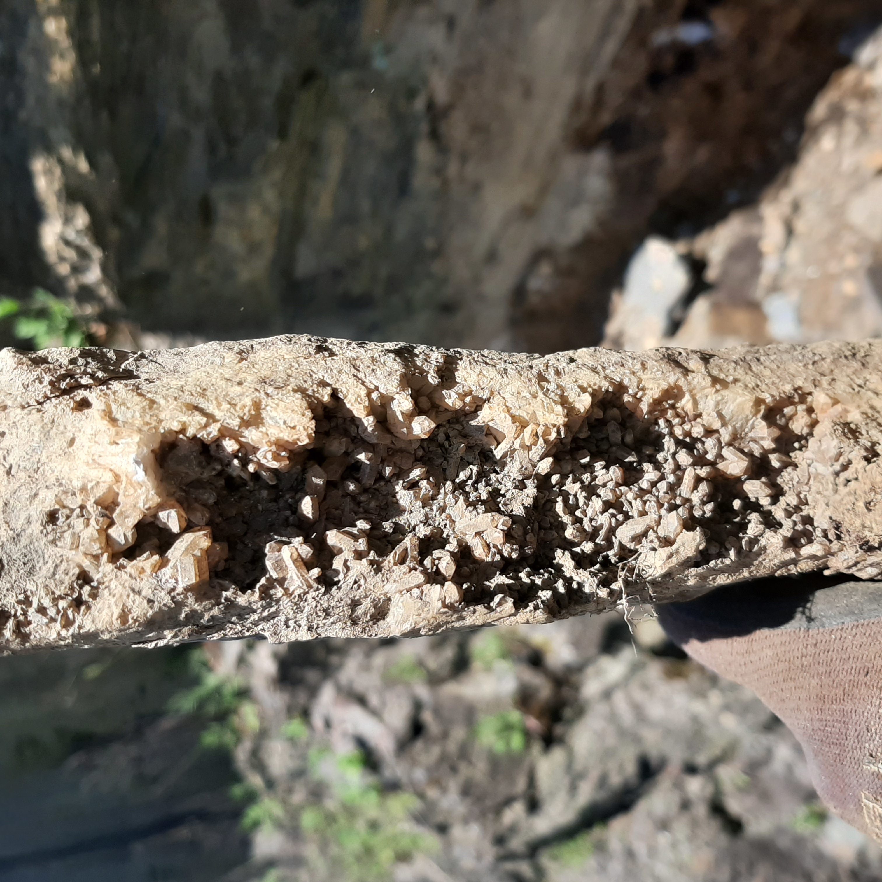
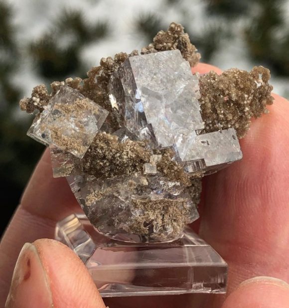
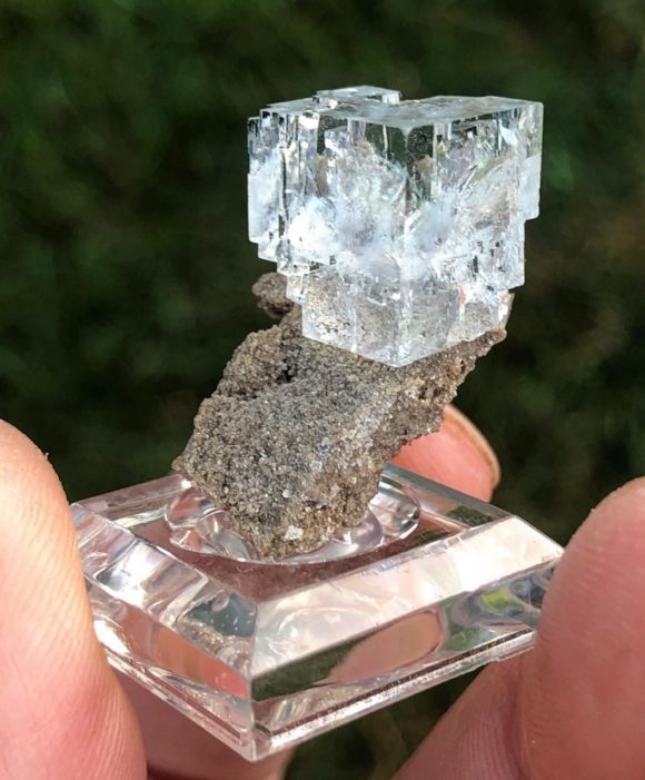
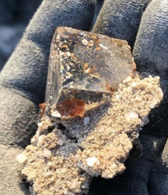
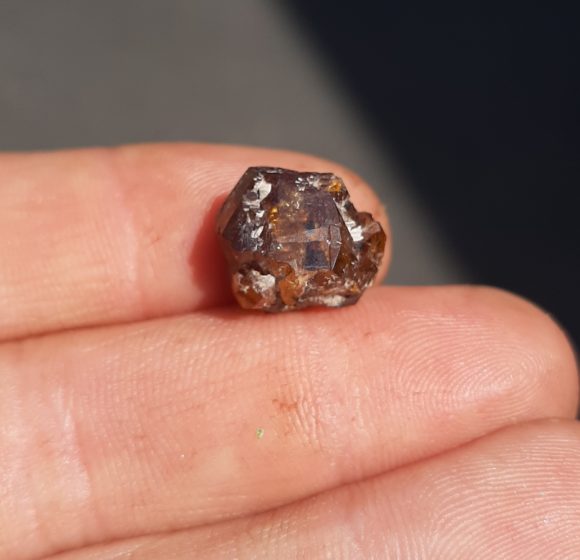
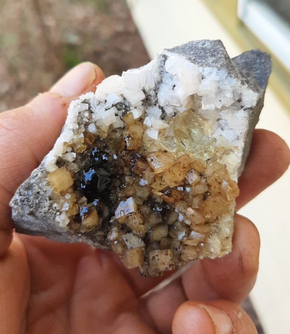
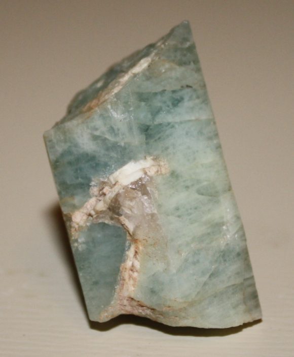
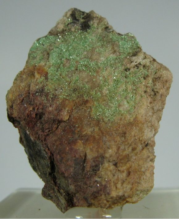
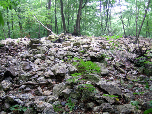
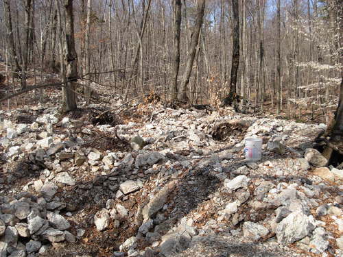
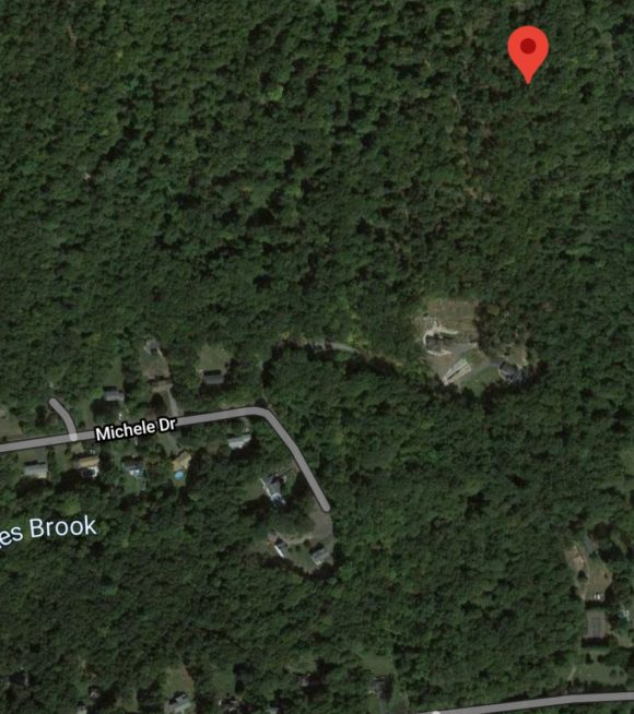
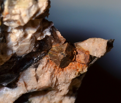
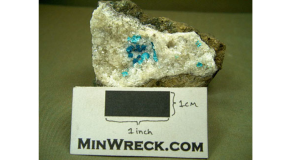
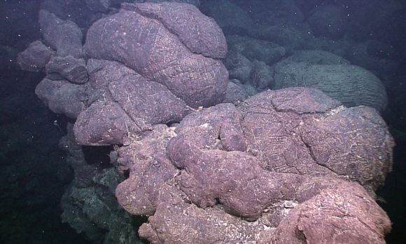

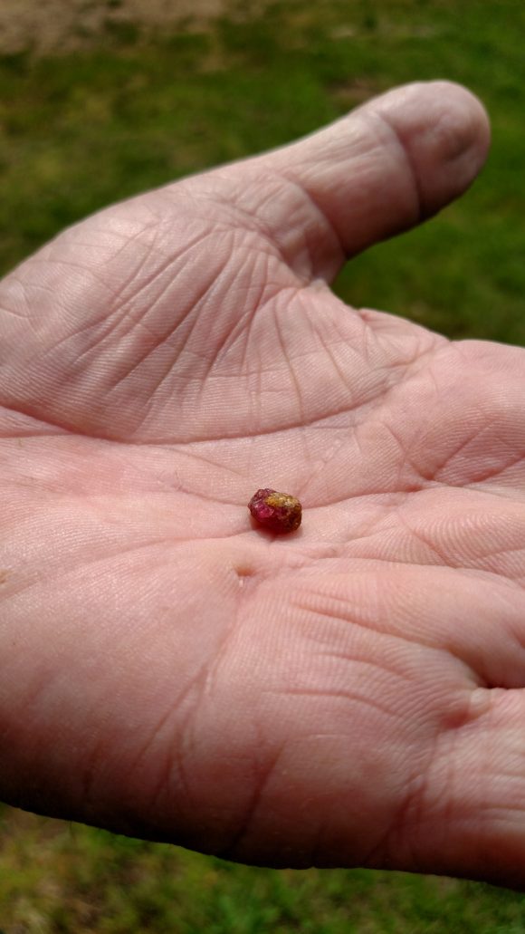
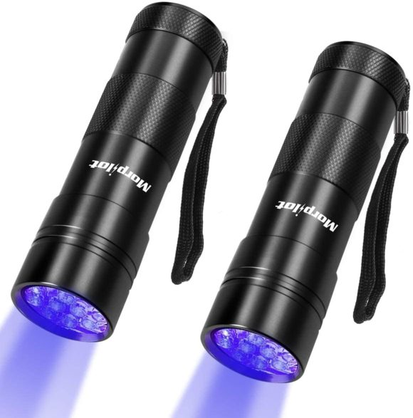
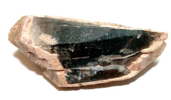
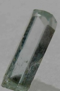
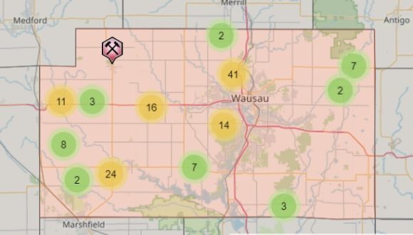
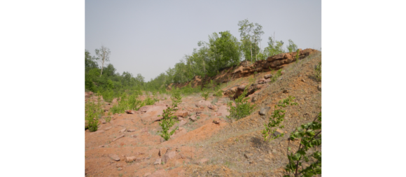
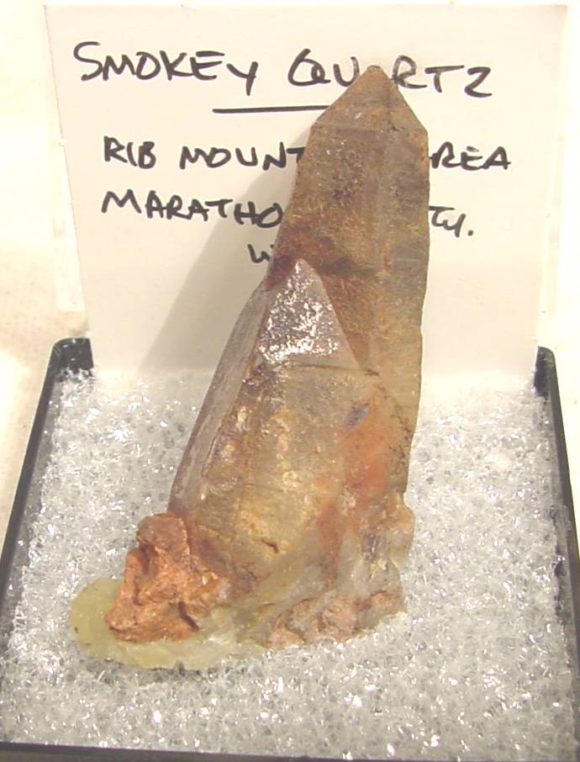
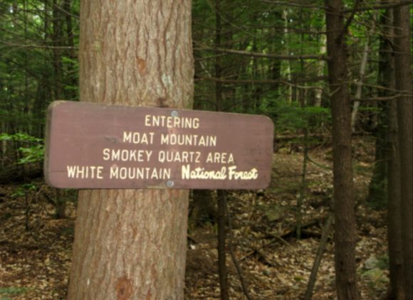
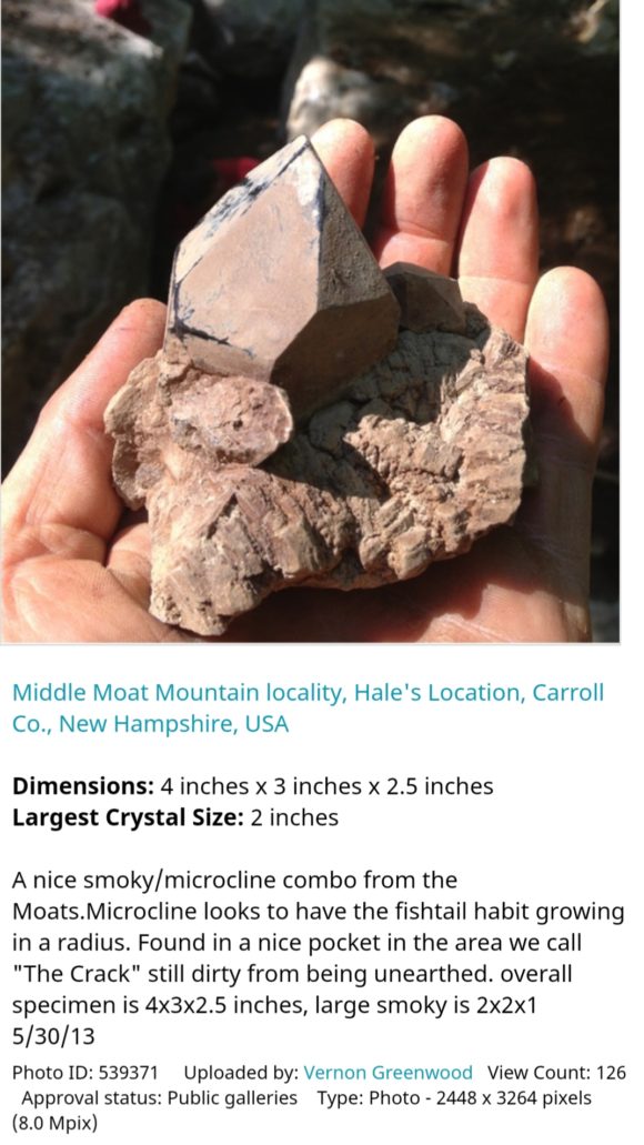
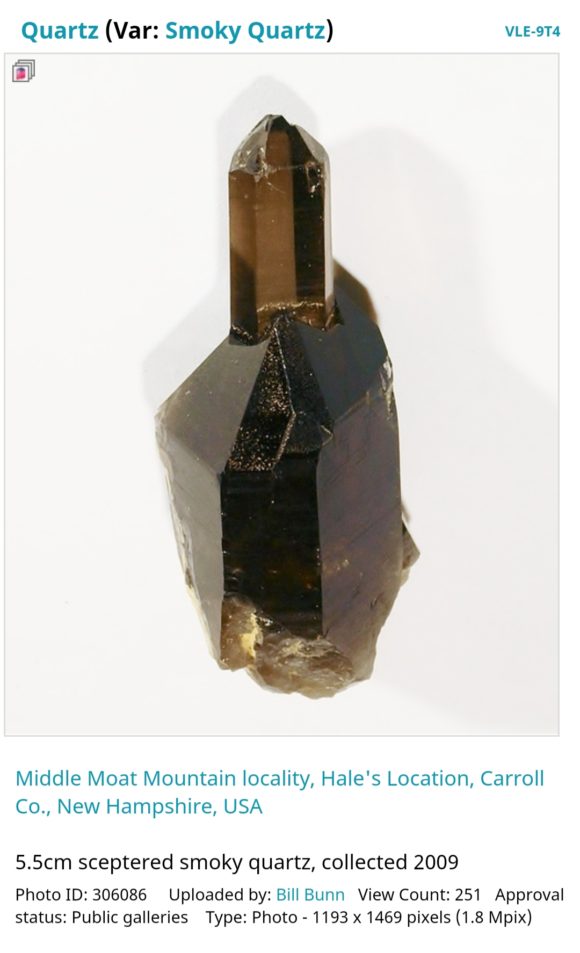
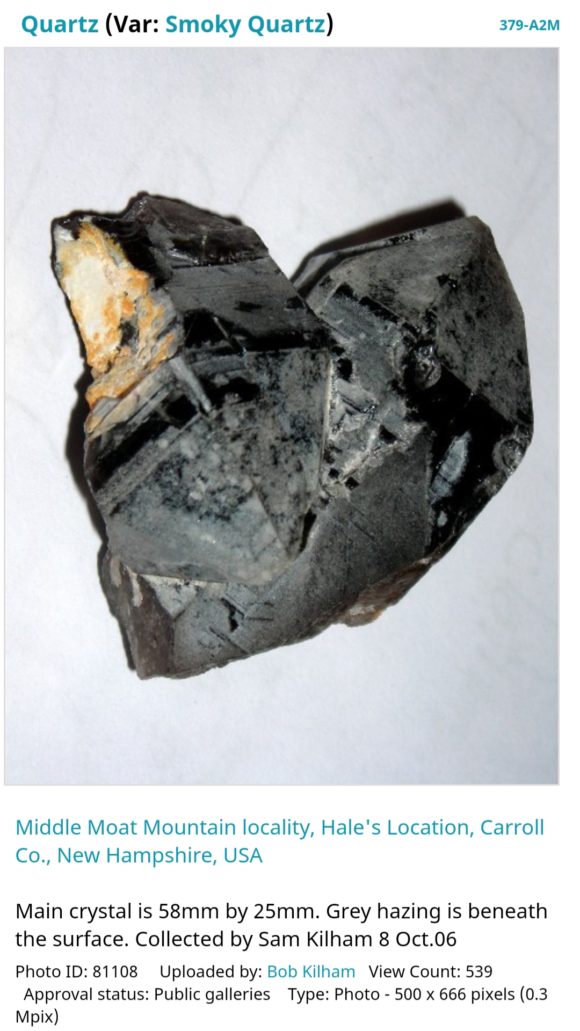
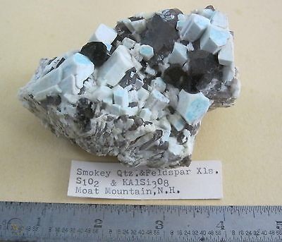
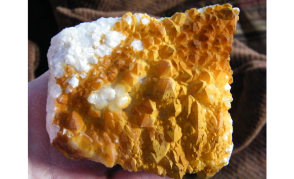 These specimens of quartz, collected by John Krygier: https://www.mindat.org/gallery-13767.html, are typical examples of what you can find at this mine. The black coating is due to manganese oxides, and the orange coating is due to iron oxides.
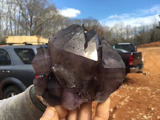
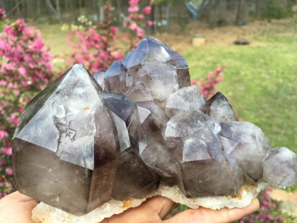
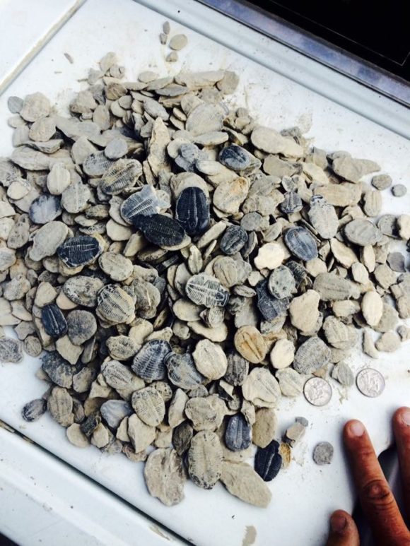
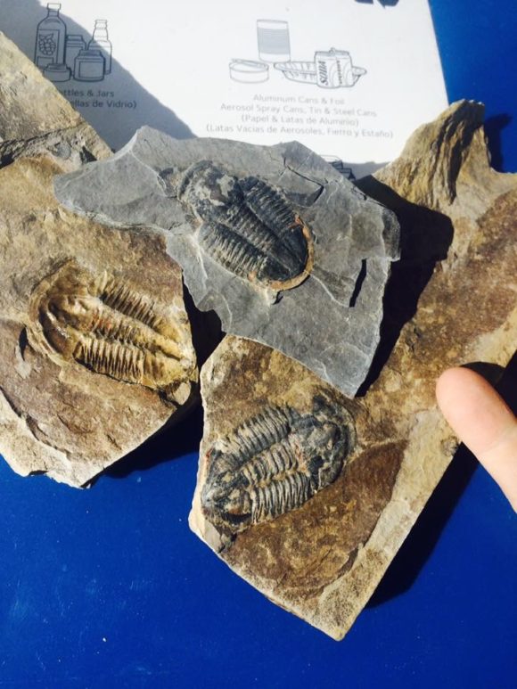
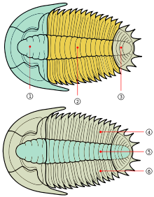

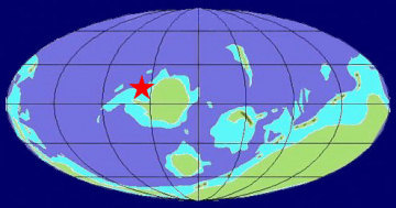
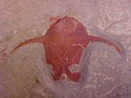
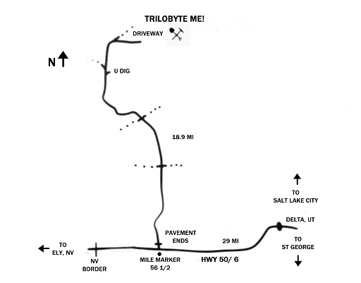
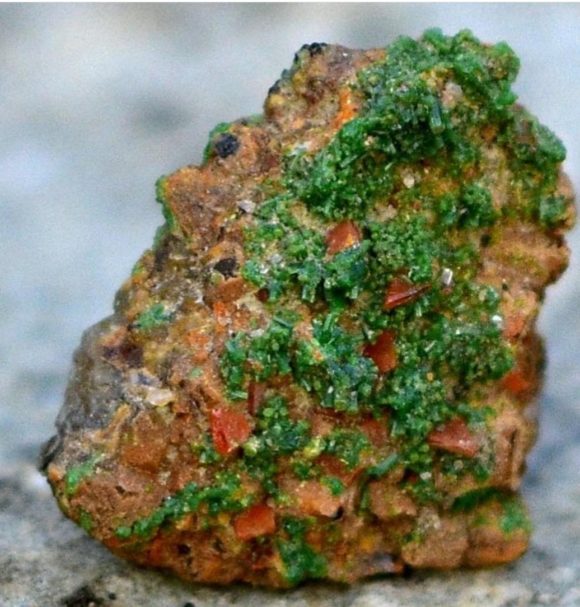
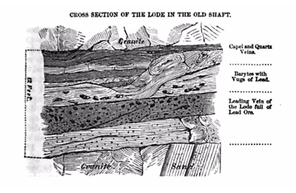
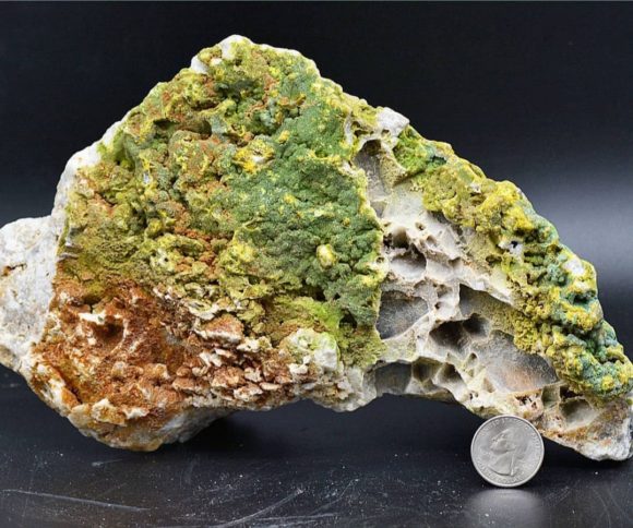
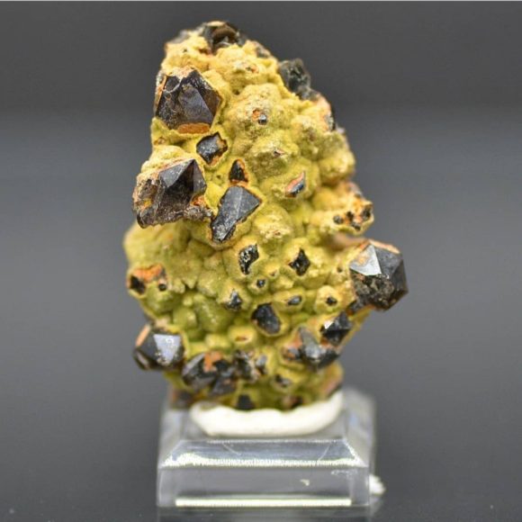
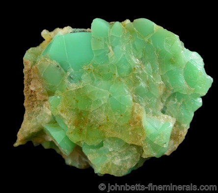
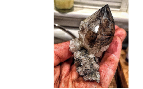
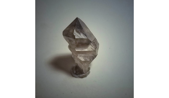
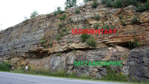
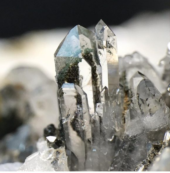
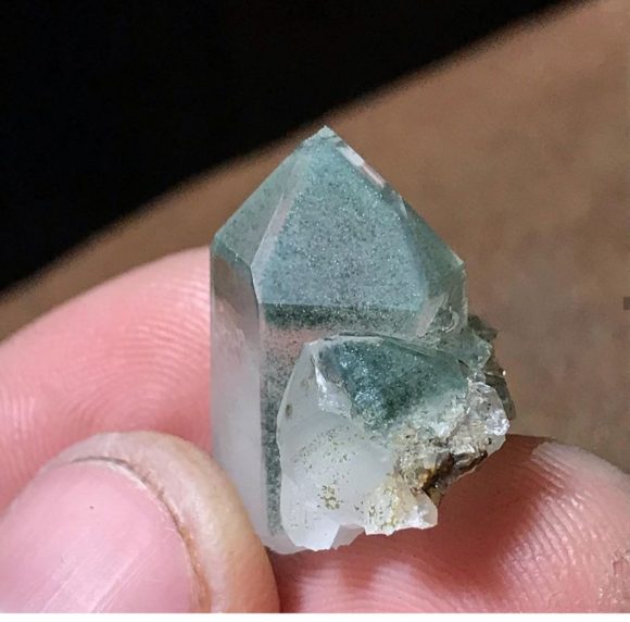
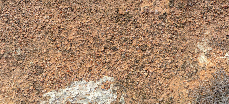
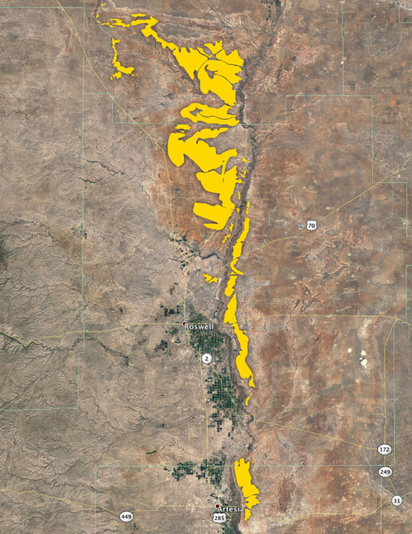
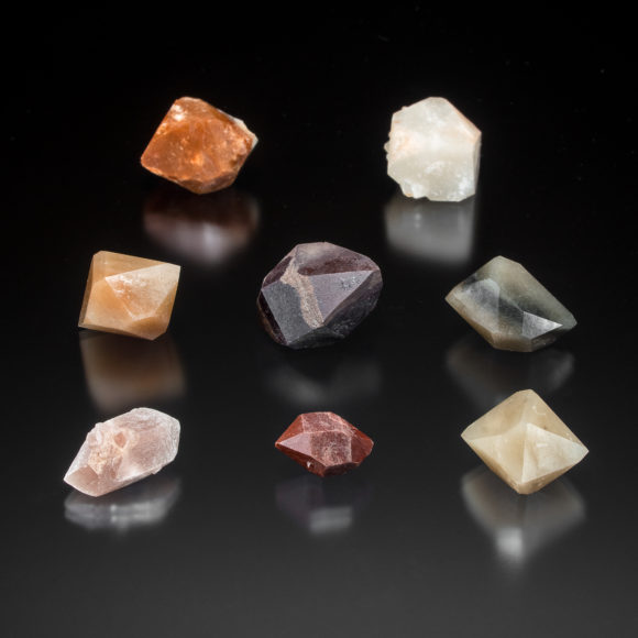
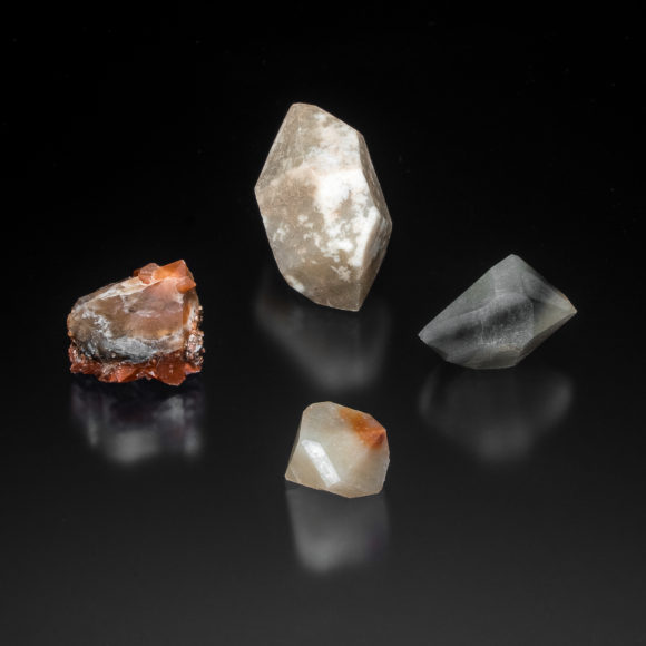
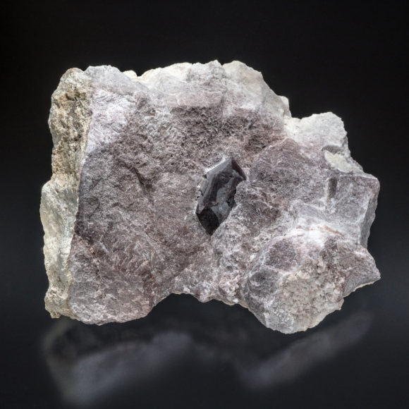
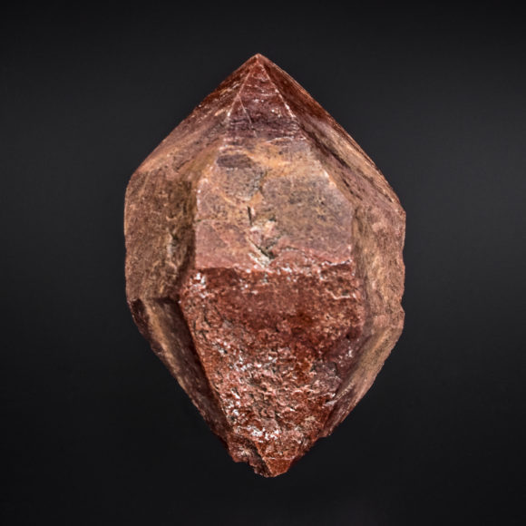
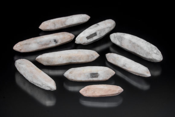
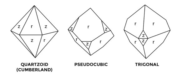
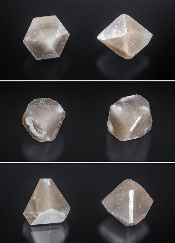

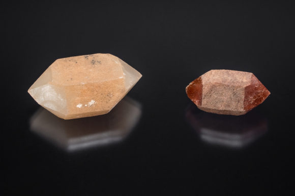
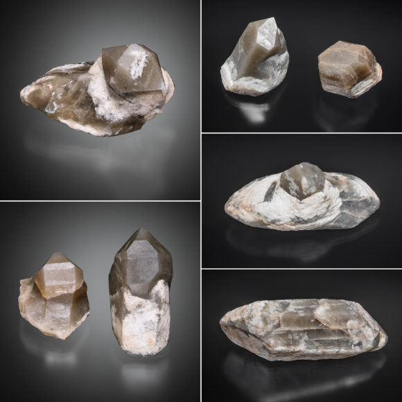
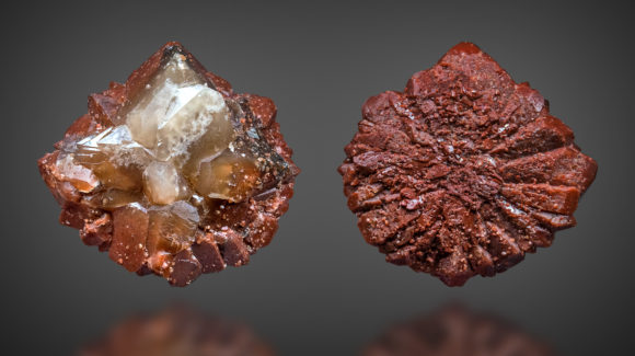
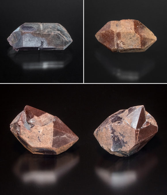
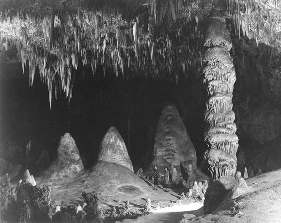
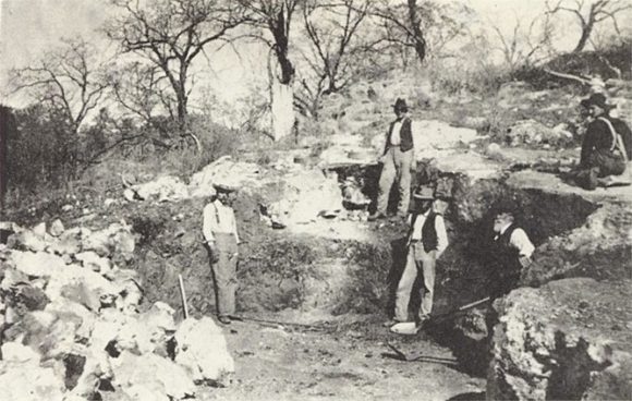
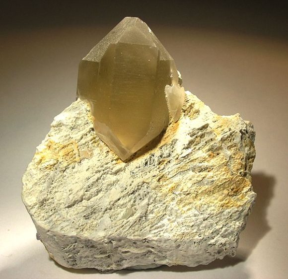
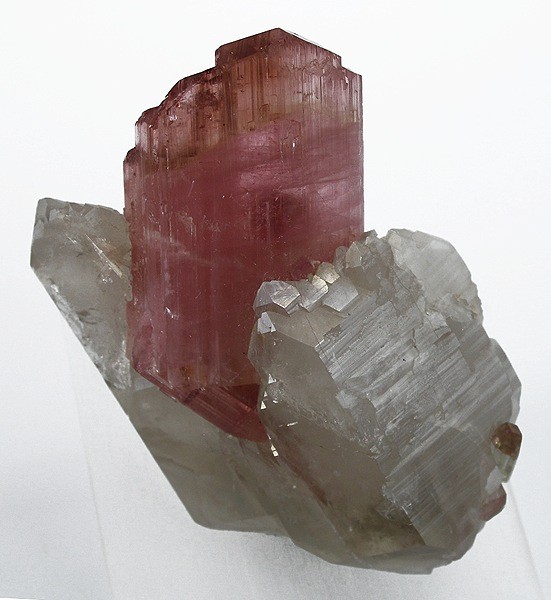
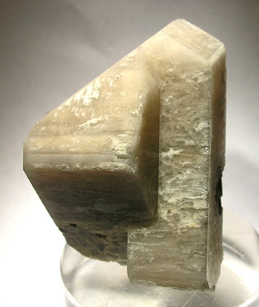
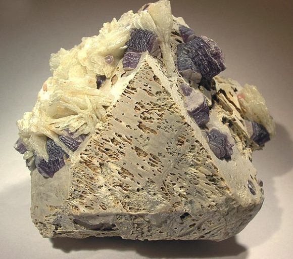
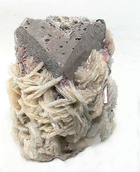
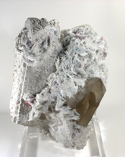
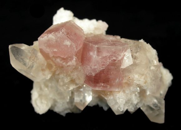
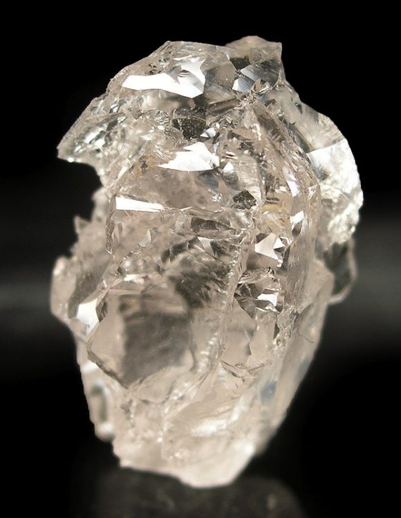
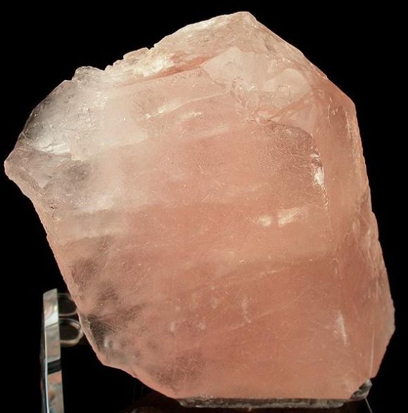
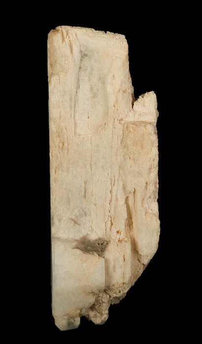
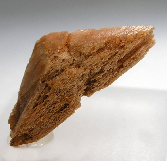
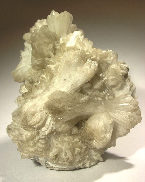
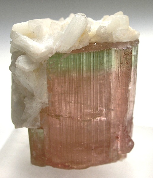
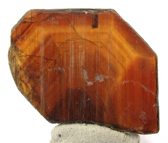
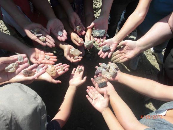
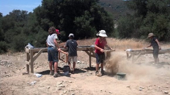
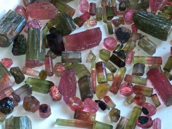


 If you are just thinking of stepping into the ring as a field trip leader, my path starts like many others, going to a local rockhound club. From here your path can follow two directions, simply participating in whatever outings the club has and taking the experience from that, or, by furthering your experience by being a helpful participant and offer to lead additional trips or fill in for the field trip leader a month or two. Many clubs experience a bit of burn out when it comes to field trips. It is a somewhat stressful job to be in charge of a group of people’s entertainment. As such, many clubs find themselves in dry spells when it comes to field trips. Sometimes a little bit of fresh energy is a much needed thing, so check out the local scene and see what the general vibe is towards local collecting spots. Club members can be a wonderful source of information on local collecting spots. In addition to the first hand sources of going on field trips with leaders, there is plenty of research to be done with books, the internet and field research.
 Over the years of field collecting I’ve made it a habit to buy as many field guides from any age and any print style. Locations that might have been popular 80 years ago, then fallen out of favor might resurface from investigating old field guides. Important information that got skipped over in future editions, or vice versa, information in contemporary guides that might save you time! From this information field research can begin, because one of the most important rules of leading a field trip should be…One Should be INTIMATELY FAMILIAR With the Location Before Taking Any Group. For there could be fewer things in life as painful as wasting the time of any number of people expecting you to take them somewhere and understand what the deposit is about.
 The local library is often a wonderful source for local mineral collecting literature. For example, while visiting a location 2500 miles away from my home, I found at the library some documentation talking about the mining districts in the 1910’s. I then matched these locations up to a current map and saw that TWO of these location were on land that I could visit and inspect for minerals. Dig deep and you can be rewarded with historical information that can turn up some amazing re-discovered mineral deposits.


 I spent at least 3 years doing weekend adventures with my working friends. Many of my now lifelong friends joined me for many of our private adventures. You can be sure that several places visited during that time would fit right into my list of regular locations. It is ALWAYS advised to have one or more friends out with you when exploring. Safety. You have no idea how many crazy adventures would have been that much worse if I did not have compatriots. It is these trips that, when they end in failure, who cares? You are hanging out with like-minded individuals, enjoying the trip. Finding the minerals, on private prospecting trips can often be a happy accident. On a guided trip, that BETTER not be the case!
 My crew of local collectors have a list of locations we visited a half a dozen times or more before we found them. Like stupid STINKO california…well, That is what we call it. Cinco, a location for Feldspar crystals, it is SO EASY to show you EXACTLY where it is on a map today, but for our group, we went to that place nearly 10 times before finding the correct deposit. The blackberry bushes used to be my bane at the Mount Baldy Corundum location, now, I try to plan a trip there in August to enjoy the fruits along the PATH into the deposit that we could not find until our 9th trip into the river valley. I can easily feel confident taking up to 60 people into that location, knowing all of them will find quality materials, that it is relativity safe, easy to get to and legal to collect at.
 Once you are familiar with your area, make a list of places and start working the pro’s and con’s on taking people to the location. Access, Safety, and Material. I do not mind taking people to a location that is “sub-par” like, for instance, the tiny quartz crystals by Mount Baldy are not show-stoppers, but they are THERE and such fun to find and in such a beautiful location, it was worth-while, even if the material is just so-so. I also love to do double trips, if possible, go to a location that is good for lapidary and one that is good for crystals. Some trips I’ve lead have gone to three locations in one day without any complaint from the collectors. I find most collectors are ready to head out after an hour or so, moving them to a few locations can stretch their interest out a few hours. Pay to play locations are ok, most of the time. Not the scam salted dig sites, but the gem dumps in Southern California, the Sunstone mines of Oregon, the Quartz mines of Herkimer New York. Many of these locations make great trips for rockhounding groups. Don’t be a afraid to find the best places to use in your field trip list.
 One of the perks with rockhound groups is by being a member you are covered by the Federation’s insurance policy. Rockhounding can be dangerous. It is up to me to create as safe as an experience as I can. Accidents happen. Accidents can be expensive. You better be insured. To make sure you are covered, it is worthwhile to purchase liability insurance if you are leading private field trips. If it is just myself and a couple friends and an accident happens, that’s up to fate. If something happens while on a sanctioned club field trip, the Federation’s insurance policy covers it. When I lead field trips for a public tour group as a freelancer, they covered the insurance policy. When I lead private field trips, it is my duty to provide insurance coverage. In my experience it is typical to find a rate for a year of 1 million dollars in liability coverage for around $800.00 USD as of 2017. Insurance is a must have.
 There are two things to consider – How can we prevent an accident from happening BEFORE it does and How can we be prepared for an accident if it does happen. My first step is making sure that everyone on a trip I lead understands the basic “Rules of Rockhounding” with my own little tweeks. My personal add ons are –


 2010-2012, I used these to promote my natural science art gallery. We would host quarterly, free public field trips.
 Knowledge


